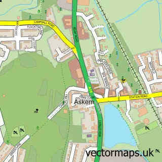
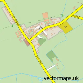
This Norton street map is a detailed vector street map covering a 750m x 750m area. Select a larger area to create and download your own vector street map of Norton.
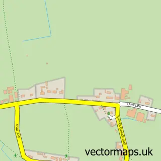
The 750-metre map sample for Norton covers 293 mapped buildings and approximately 12.7 km of road detail, of which 25 named roads are named. The immediate area includes 2 schools, 2 GP surgeries within 2 miles, 2 pubs and 3 MOT stations within 2 miles. The wider area around Norton features 3 food and drink venues. To create a larger or custom map of Norton, the map builder lets you define your own coverage area and download editable SVG, PDF and PNG files.
Create a larger editable map of Norton
Choose any area you need and generate a high-quality vector map instantly. Perfect for print, planning, design, business and personal use.

This Norton street map in South Yorkshire is available as downloadable SVG, PDF and PNG map files, or as a printed map for planning, business, display, education, local information and design work. You can also create a larger custom map area using the map selector.
What this Norton map sample shows
Norton lies within Norton Cp parish, part of Norton & Askern ward in the Doncaster District (B) local authority area. The postcode geography for this area includes the DN postcode area, the DN6 postcode district and the DN6 9 postcode sector. Residents fall under the Nhs South Yorkshire Integrated Care Board for NHS services.
Local features near Norton
Within 2 milesAmenities and services in and around Norton.
Administrative and postcode information for Norton
The local authority covering Norton is Doncaster District (B), within the county of South Yorkshire. The settlement lies within Norton & Askern ward and Norton Cp civil parish. The DN6 postcode district and DN6 9 postcode sector serve the immediate area. NHS provision in the area is delivered through Doncaster And Bassetlaw Teaching Hospitals Nhs Foundation Trust.
Nearby street map samples around Norton

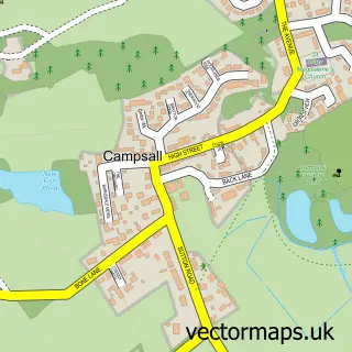
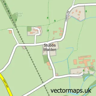
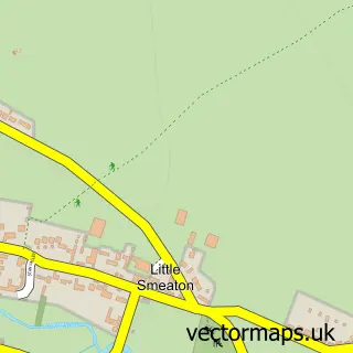
More street maps in South Yorkshire
750 metre map area coverage
Boundary, postcode and point of interest information for the 750m x 750m rectangle centred on this sample map.
Boundaries containing map centre
Constituency: Doncaster North Co Const
District: Doncaster District (B)
Icb: NHS South Yorkshire ICB
Parish: Norton CP
Police Force: south yorkshire
Postcode District: DN6
Postcode Sector: DN6 9
Ward: Norton & Askern Ward
Nearby boundaries intersecting sample
No additional intersecting boundaries found.
Postcode coverage
POI category counts
Beauty Salon: 3
Contractor: 2
Indian Restaurant: 2
Post Office: 2
Pub: 2
Antique Store: 1
Assisted Living Facility: 1
Barber: 1
Building Contractor: 1
Coffee Shop: 1
Sample points of interest
- Attic Treasures Norton
- Laurels Nursing & Residential Home
- Rumps Barbers
- ANP Medical Aesthetics
- Anna Martland Nails
- The Room of Beauty
- Askern Fencing
- Baps & Wraps
- Norton Community Hall
- Hammond Builders
- N. Smith Builders
- West End Stores
Create a larger editable map of Norton
This sample shows only a 750 metre area. To create a larger map of Norton, use our map builder to choose your own coverage area, add titles and download editable SVG, PDF and PNG files.
Create a custom map of Norton