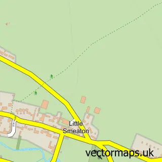
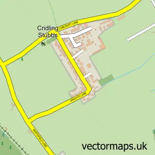
This Kirk Smeaton street map is a detailed vector street map covering a 750m x 750m area. Select a larger area to create and download your own vector street map of Kirk Smeaton.
The 750-metre map sample for Kirk Smeaton covers 135 mapped buildings and approximately 10.7 km of road detail, of which 12 named roads are named. The immediate area includes 1 school, 1 pub and 2 MOT stations within 2 miles. The wider area around Kirk Smeaton features 1 food and drink venue. To create a larger or custom map of Kirk Smeaton, the map builder lets you define your own coverage area and download editable SVG, PDF and PNG files.
Create a larger editable map of Kirk Smeaton
Choose any area you need and generate a high-quality vector map instantly. Perfect for print, planning, design, business and personal use.

This Kirk Smeaton street map in North Yorkshire is available as downloadable SVG, PDF and PNG map files, or as a printed map for planning, business, display, education, local information and design work. You can also create a larger custom map area using the map selector.
What this Kirk Smeaton map sample shows
Kirk Smeaton lies within Kirk Smeaton Cp parish, part of Whitley ward in the North Yorkshire local authority area. The postcode geography for this area includes the WF postcode area, the WF8 postcode district and the WF8 3 postcode sector. Residents fall under the Nhs Humber And North Yorkshire Integrated Care Board for NHS services.
Local features near Kirk Smeaton
Within 2 milesAmenities and services in and around Kirk Smeaton.
Administrative and postcode information for Kirk Smeaton
The local authority covering Kirk Smeaton is North Yorkshire, within the county of North Yorkshire. The settlement lies within Whitley ward and Kirk Smeaton Cp civil parish. The WF8 postcode district and WF8 3 postcode sector serve the immediate area. NHS provision in the area is delivered through Mid Yorkshire Teaching Nhs Trust.
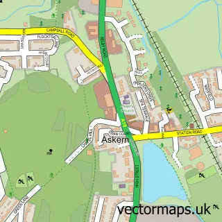
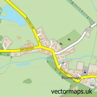
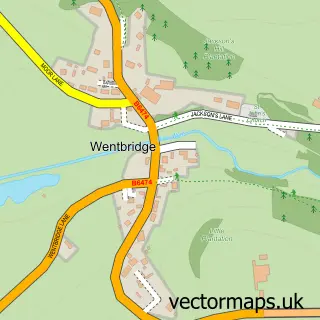
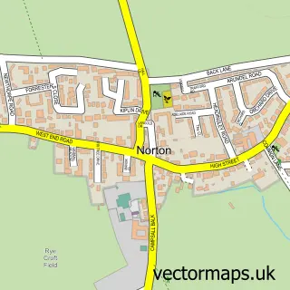
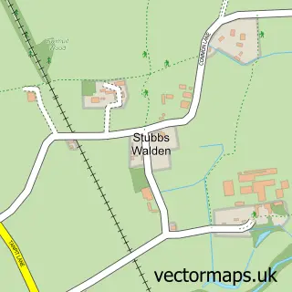
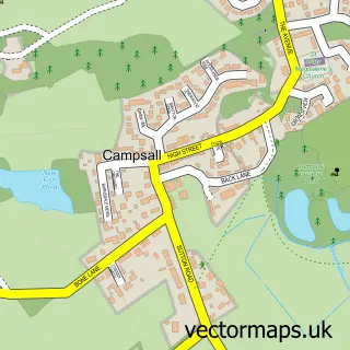
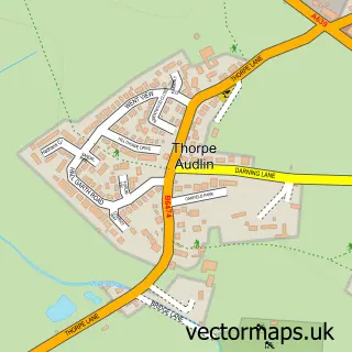
Nearby street map samples around Kirk Smeaton


More street maps in North Yorkshire
750 metre map area coverage
Boundary, postcode and point of interest information for the 750m x 750m rectangle centred on this sample map.
Boundaries containing map centre
Constituency: Selby Co Const
District: North Yorkshire
Icb: NHS Humber and North Yorkshire ICB
Parish: Kirk Smeaton CP
Police Force: north yorkshire
Postcode District: WF8
Postcode Sector: WF8 3
Nearby boundaries intersecting sample
Constituency: Doncaster North Co Const
District: Doncaster District (B)
Icb: NHS South Yorkshire ICB
Parish: Little Smeaton CP, Norton CP
Police Force: south yorkshire
Ward: Norton & Askern Ward
Postcode coverage
POI category counts
Korean Grocery Store: 2
Acupuncture: 1
Anglican Church: 1
Bar: 1
Business Management Services: 1
Community Center: 1
Counseling And Mental Health: 1
Elementary School: 1
Industrial Equipment: 1
Post Office: 1
Sample points of interest
- Healing Partners Acupuncture
- Smeaton Church
- Shoulder of Mutton
- Communication 92
- Kirk & Little Smeaton Development Group
- Self Talk Counselling Services
- Kirk Smeaton Church of England Primary School
- Manor Global Machinery Ltd.
- Kirk Smeaton Post Office
- Post Office-Kirk Smeaton
- Post Office
- Went Valley Preschool
Create a larger editable map of Kirk Smeaton
This sample shows only a 750 metre area. To create a larger map of Kirk Smeaton, use our map builder to choose your own coverage area, add titles and download editable SVG, PDF and PNG files.
Create a custom map of Kirk Smeaton