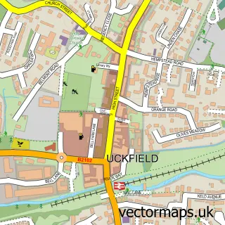
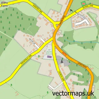
This Nutley street map is a detailed vector street map covering a 750m x 750m area. Select a larger area to create and download your own vector street map of Nutley.
The 750-metre map sample for Nutley covers 231 mapped buildings and approximately 12.0 km of road detail, of which 13 named roads are named. The immediate area includes 1 school and 1 MOT station. The wider area around Nutley features 2 tourism points of interest and 2 food and drink venues. To create a larger or custom map of Nutley, the map builder lets you define your own coverage area and download editable SVG, PDF and PNG files.
Create a larger editable map of Nutley
Choose any area you need and generate a high-quality vector map instantly. Perfect for print, planning, design, business and personal use.

This Nutley street map in East Sussex is available as downloadable SVG, PDF and PNG map files, or as a printed map for planning, business, display, education, local information and design work. You can also create a larger custom map area using the map selector.
What this Nutley map sample shows
Nutley lies within Maresfield Cp parish, part of Maresfield ward in the Wealden District local authority area. The postcode geography for this area includes the TN postcode area, the TN22 postcode district and the TN22 3 postcode sector. Residents fall under the Nhs Sussex Integrated Care Board for NHS services.
Local features near Nutley
Within 2 milesAmenities and services in and around Nutley.
Administrative and postcode information for Nutley
The local authority covering Nutley is Wealden District, within the county of East Sussex. The settlement lies within Maresfield ward and Maresfield Cp civil parish. The TN22 postcode district and TN22 3 postcode sector serve the immediate area. NHS provision in the area is delivered through University Hospitals Sussex Nhs Foundation Trust.
Nearby street map samples around Nutley

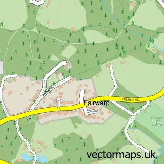
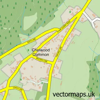
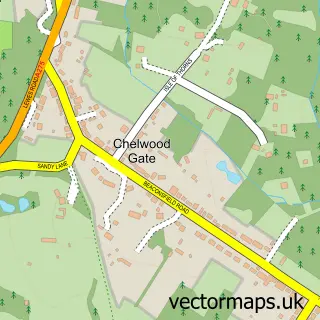
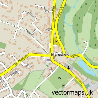
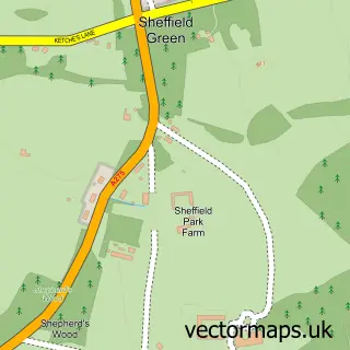
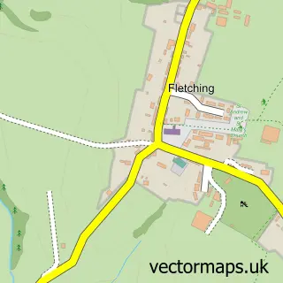
More street maps in East Sussex
750 metre map area coverage
Boundary, postcode and point of interest information for the 750m x 750m rectangle centred on this sample map.
Boundaries containing map centre
Constituency: East Grinstead and Uckfield Co Const
County: East Sussex County
District: Wealden District
Icb: NHS Surrey and Sussex ICB
Parish: Maresfield CP
Police Force: sussex
Postcode District: TN22
Postcode Sector: TN22 3
Ward: Maresfield Ward
Nearby boundaries intersecting sample
No additional intersecting boundaries found.
Postcode coverage
POI category counts
Gas Station: 3
Community Center: 2
Elementary School: 2
Amusement Park: 1
Anglican Church: 1
Architectural Designer: 1
Arts And Crafts: 1
Assisted Living Facility: 1
Atms: 1
Automotive Repair: 1
Sample points of interest
- Old Lodge Stud
- St James the Less
- Baileybridge
- Cogcraft Concepts
- Nutley Hall
- PayPoint
- Nutley Motor Services Ltd
- Only With Love
- Coco and Sage
- Nutley Sports & Prestige Centre
- Freedom Healthcare Chiropractic Clinic
- Nutley Church (St James the Less)
Create a larger editable map of Nutley
This sample shows only a 750 metre area. To create a larger map of Nutley, use our map builder to choose your own coverage area, add titles and download editable SVG, PDF and PNG files.
Create a custom map of Nutley