This Orton street map is a detailed vector street map covering a 750m x 750m area. Select a larger area to create and download your own vector street map of Orton.
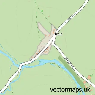
The 750-metre map sample for Orton covers 132 mapped buildings and approximately 10.3 km of road detail, of which 7 named roads are named. The immediate area includes 1 school and 1 pub. The wider area around Orton features 2 food and drink venues and 1 hotel. To create a larger or custom map of Orton, the map builder lets you define your own coverage area and download editable SVG, PDF and PNG files.
Create a larger editable map of Orton
Choose any area you need and generate a high-quality vector map instantly. Perfect for print, planning, design, business and personal use.

This Orton street map in Cumbria is available as downloadable SVG, PDF and PNG map files, or as a printed map for planning, business, display, education, local information and design work. You can also create a larger custom map area using the map selector.
What this Orton map sample shows
Orton lies within Orton Cp parish, part of Orton With Tebay ward in the Westmorland And Furness local authority area. The postcode geography for this area includes the CA postcode area, the CA10 postcode district and the CA10 3 postcode sector. Residents fall under the Nhs North East And North Cumbria Integrated Care Board for NHS services.
Local features near Orton
Within 2 milesAmenities and services in and around Orton.
Administrative and postcode information for Orton
The local authority covering Orton is Westmorland And Furness, within the county of Cumbria. The settlement lies within Orton With Tebay ward and Orton Cp civil parish. The CA10 postcode district and CA10 3 postcode sector serve the immediate area. NHS provision in the area is delivered through North Cumbria Integrated Care Nhs Foundation Trust.
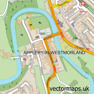
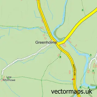
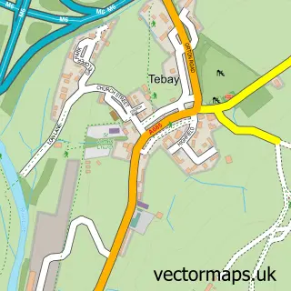
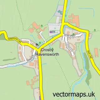
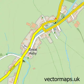
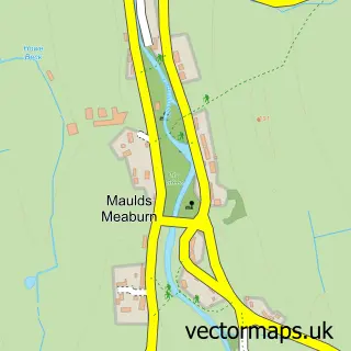
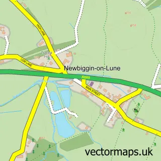
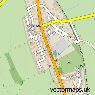
Nearby street map samples around Orton

More street maps in Cumbria
750 metre map area coverage
Boundary, postcode and point of interest information for the 750m x 750m rectangle centred on this sample map.
Boundaries containing map centre
Constituency: Westmorland and Lonsdale Co Const
District: Westmorland and Furness
Icb: NHS North East and North Cumbria ICB
Parish: Orton CP
Police Force: cumbria
Postcode District: CA10
Postcode Sector: CA10 3
Ward: Kirkby Stephen and Tebay Ward
Nearby boundaries intersecting sample
No additional intersecting boundaries found.
Postcode coverage
POI category counts
Anglican Church: 2
Post Office: 2
Bed And Breakfast: 1
Cafe: 1
Chocolatier: 1
Church Cathedral: 1
Community Center: 1
Cottage: 1
Doctor: 1
Farmers Market: 1
Sample points of interest
- All Saints Church
- All Saints, Orton
- Coast 2 Coast cosy cottage orton
- Orton Scar Cafe
- Kennedy's Chocolate Factory.
- Orton Methodist Church
- Orton Market Hall
- South Cottage
- Shap Medical Practice, Orton Branch Surgery
- Orton Farmers' Market
- Littlejohn Oak
- Kennedys Fine Chocolates Ltd.
Create a larger editable map of Orton
This sample shows only a 750 metre area. To create a larger map of Orton, use our map builder to choose your own coverage area, add titles and download editable SVG, PDF and PNG files.
Create a custom map of Orton