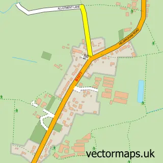
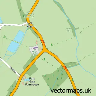
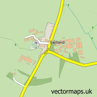
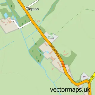
This Otley street map is a detailed vector street map covering a 750m x 750m area. Select a larger area to create and download your own vector street map of Otley.
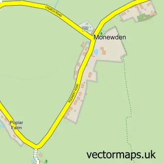
The 750-metre map sample for Otley covers 194 mapped buildings and approximately 9.4 km of road detail, of which 10 named roads are named. The immediate area includes 1 school. To create a larger or custom map of Otley, the map builder lets you define your own coverage area and download editable SVG, PDF and PNG files.
Create a larger editable map of Otley
Choose any area you need and generate a high-quality vector map instantly. Perfect for print, planning, design, business and personal use.

This Otley street map in Suffolk is available as downloadable SVG, PDF and PNG map files, or as a printed map for planning, business, display, education, local information and design work. You can also create a larger custom map area using the map selector.
What this Otley map sample shows
Otley lies within Otley Cp parish, part of Carlford & Fynn Valley ward in the East Suffolk District local authority area. The postcode geography for this area includes the IP postcode area, the IP6 postcode district and the IP6 9 postcode sector. Residents fall under the Nhs Suffolk And North East Essex Integrated Care Board for NHS services.
Local features near Otley
Within 2 milesAmenities and services in and around Otley.
Administrative and postcode information for Otley
The local authority covering Otley is East Suffolk District, within the county of Suffolk. The settlement lies within Carlford & Fynn Valley ward and Otley Cp civil parish. The IP6 postcode district and IP6 9 postcode sector serve the immediate area. NHS provision in the area is delivered through East Suffolk And North Essex Nhs Foundation Trust.
Nearby street map samples around Otley

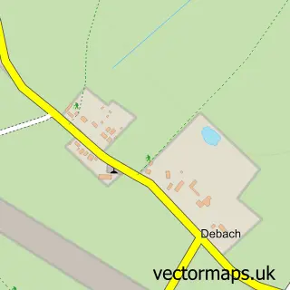
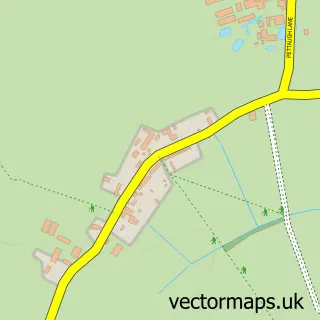
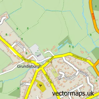
More street maps in Suffolk
750 metre map area coverage
Boundary, postcode and point of interest information for the 750m x 750m rectangle centred on this sample map.
Boundaries containing map centre
Constituency: Central Suffolk and North Ipswich Co Const
County: Suffolk County
District: East Suffolk District
Icb: NHS Essex ICB
Parish: Otley CP
Police Force: suffolk
Postcode District: IP6
Postcode Sector: IP6 9
Ward: Carlford & Fynn Valley Ward
Nearby boundaries intersecting sample
No additional intersecting boundaries found.
Postcode coverage
POI category counts
Doctor: 2
Shipping Center: 2
Anglican Church: 1
Bus Rentals: 1
Child Care And Day Care: 1
Church Cathedral: 1
Convenience Store: 1
Education: 1
Elementary School: 1
Korean Grocery Store: 1
Sample points of interest
- Otley, St Mary the Virgin
- Forget Me Not Travel Ltd.
- Otley under 5s Centre
- St Marys Church Otley Suffolk
- Londis Otley Village Store
- Debenham Group Practice
- Otley (Debenham Group Practice)
- Suffolk Rural Animal Unit
- Otley Primary School
- Otley Village Store
- The Healed Sole Reflexology
- Paramount Visas
Create a larger editable map of Otley
This sample shows only a 750 metre area. To create a larger map of Otley, use our map builder to choose your own coverage area, add titles and download editable SVG, PDF and PNG files.
Create a custom map of Otley