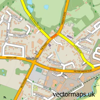
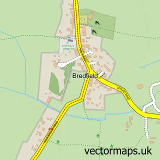
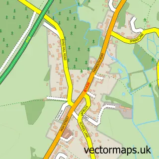
This Woodbridge street map is a detailed vector street map covering a 750m x 750m area. Select a larger area to create and download your own vector street map of Woodbridge.
The 750-metre map sample for Woodbridge covers 408 mapped buildings and approximately 16.8 km of road detail, of which 40 named roads are named. The immediate area includes 1 GP surgery, with 2 within 2 miles, 4 pubs and 1 MOT station, with 5 within 2 miles. The wider area around Woodbridge features 5 tourism points of interest, 24 food and drink venues and 1 hotel. To create a larger or custom map of Woodbridge, the map builder lets you define your own coverage area and download editable SVG, PDF and PNG files.
Create a larger editable map of Woodbridge
Choose any area you need and generate a high-quality vector map instantly. Perfect for print, planning, design, business and personal use.

This Woodbridge street map in Suffolk is available as downloadable SVG, PDF and PNG map files, or as a printed map for planning, business, display, education, local information and design work. You can also create a larger custom map area using the map selector.
What this Woodbridge map sample shows
Woodbridge lies within Woodbridge Cp parish, part of Woodbridge ward in the East Suffolk District local authority area. The postcode geography for this area includes the IP postcode area, the IP12 postcode district and the IP12 1 postcode sector. Residents fall under the Nhs Suffolk And North East Essex Integrated Care Board for NHS services.
Local features near Woodbridge
Within 2 milesAmenities and services in and around Woodbridge.
Administrative and postcode information for Woodbridge
The local authority covering Woodbridge is East Suffolk District, within the county of Suffolk. The settlement lies within Woodbridge ward and Woodbridge Cp civil parish. The IP12 postcode district and IP12 1 postcode sector serve the immediate area. NHS provision in the area is delivered through East Suffolk And North Essex Nhs Foundation Trust.
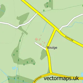
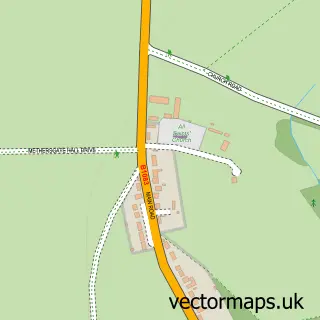
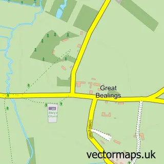
Nearby street map samples around Woodbridge

More street maps in Suffolk
750 metre map area coverage
Boundary, postcode and point of interest information for the 750m x 750m rectangle centred on this sample map.
Boundaries containing map centre
Constituency: Suffolk Coastal Co Const
County: Suffolk County
District: East Suffolk District
Icb: NHS Essex ICB
Parish: Woodbridge CP
Police Force: suffolk
Postcode District: IP12
Postcode Sector: IP12 1
Ward: Woodbridge Ward
Nearby boundaries intersecting sample
Parish: Melton CP, Sutton CP
Postcode Sector: IP12 4
Ward: Deben Ward, Melton Ward
Postcode coverage
POI category counts
Clothing Store: 16
Real Estate Agent: 12
Banks: 8
Church Cathedral: 7
Coffee Shop: 7
Hair Salon: 7
Restaurant: 7
Antique Store: 6
Art Gallery: 6
Cafe: 6
Sample points of interest
- Ash House
- Pinfold & Co
- Harmony Clinic
- M R C
- National Farm Research Unit
- Woodbridge, St John's
- British Red Cross
- Hamilton Antiques
- St Elizabeth Hospice
- The Bull Ride
- Vintage Forty-Nine
- Woodbridge Antiques
Create a larger editable map of Woodbridge
This sample shows only a 750 metre area. To create a larger map of Woodbridge, use our map builder to choose your own coverage area, add titles and download editable SVG, PDF and PNG files.
Create a custom map of Woodbridge