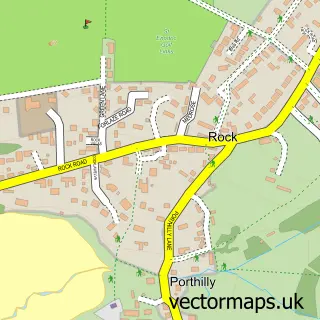
This Padstow street map is a detailed vector street map covering a 750m x 750m area. Select a larger area to create and download your own vector street map of Padstow.
The 750-metre map sample for Padstow covers 249 mapped buildings and approximately 14.4 km of road detail, of which 39 named roads are named. The immediate area includes 8 pubs and 2 MOT stations within 2 miles. The wider area around Padstow features 6 tourism points of interest, 30 food and drink venues and 21 hotels. To create a larger or custom map of Padstow, the map builder lets you define your own coverage area and download editable SVG, PDF and PNG files.
Create a larger editable map of Padstow
Choose any area you need and generate a high-quality vector map instantly. Perfect for print, planning, design, business and personal use.

This Padstow street map in Cornwall is available as downloadable SVG, PDF and PNG map files, or as a printed map for planning, business, display, education, local information and design work. You can also create a larger custom map area using the map selector.
What this Padstow map sample shows
Padstow lies within Padstow Cp parish, part of Padstow ward in the Cornwall local authority area. The postcode geography for this area includes the PL postcode area, the PL28 postcode district and the PL28 8 postcode sector. Residents fall under the Nhs Cornwall And The Isles Of Scilly Integrated Care Board for NHS services.
Local features near Padstow
Within 2 milesAmenities and services in and around Padstow.
Administrative and postcode information for Padstow
Padstow lies within Padstow Cp parish, part of Padstow ward in the Cornwall local authority area. The postcode geography for this area includes the PL postcode area, the PL28 postcode district and the PL28 8 postcode sector. Residents fall under the Nhs Cornwall And The Isles Of Scilly Integrated Care Board for NHS services.
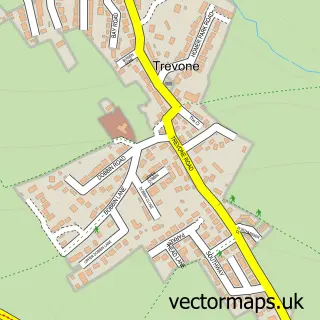
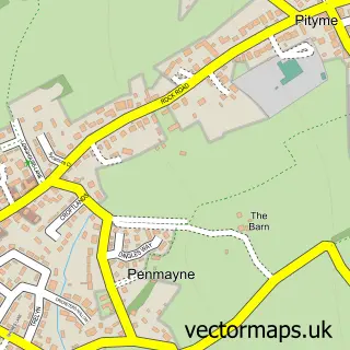
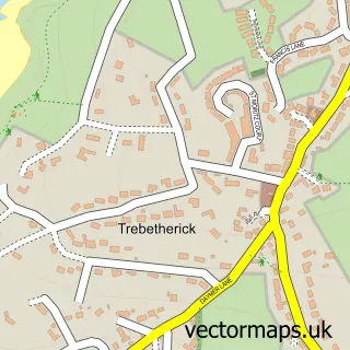
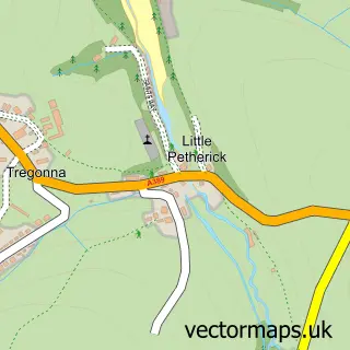
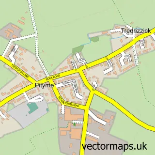
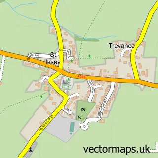
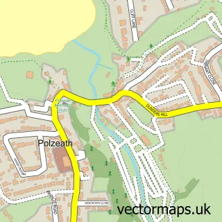
Nearby street map samples around Padstow


More street maps in Cornwall
750 metre map area coverage
Boundary, postcode and point of interest information for the 750m x 750m rectangle centred on this sample map.
Boundaries containing map centre
Constituency: North Cornwall Co Const
District: Cornwall
Icb: NHS Cornwall and the Isles of Scilly ICB
Parish: Padstow CP
Police Force: devon and cornwall
Postcode District: PL28
Postcode Sector: PL28 8
Nearby boundaries intersecting sample
Parish: St. Issey CP
Postcode coverage
POI category counts
Hotel: 21
Clothing Store: 19
Art Gallery: 16
Restaurant: 13
Holiday Rental Home: 11
Bed And Breakfast: 10
Seafood Restaurant: 9
Flowers And Gifts Shop: 8
Pub: 8
British Restaurant: 7
Sample points of interest
- Padstow Crazy Golf
- Padstow Mini Golf
- The Atlantic Blanket Company
- Beyond The Sea Home Products
- Bronze Frogs
- Buy Art Online
- Caroline Walker
- Driftwood Contemporary
- Jo Downs Handmade Glass
- Padstow Art Group
- Padstow Contemporary Art Gallery
- Padstow Gallery
Create a larger editable map of Padstow
This sample shows only a 750 metre area. To create a larger map of Padstow, use our map builder to choose your own coverage area, add titles and download editable SVG, PDF and PNG files.
Create a custom map of Padstow