This Trevone street map is a detailed vector street map covering a 750m x 750m area. Select a larger area to create and download your own vector street map of Trevone.
The 750-metre map sample for Trevone covers 300 mapped buildings and approximately 9.9 km of road detail, of which 16 named roads are named. The immediate area includes 2 MOT stations within 2 miles. The wider area around Trevone features 4 hotels and 4 campsites within 2 miles. To create a larger or custom map of Trevone, the map builder lets you define your own coverage area and download editable SVG, PDF and PNG files.
Create a larger editable map of Trevone
Choose any area you need and generate a high-quality vector map instantly. Perfect for print, planning, design, business and personal use.

This Trevone street map in Cornwall is available as downloadable SVG, PDF and PNG map files, or as a printed map for planning, business, display, education, local information and design work. You can also create a larger custom map area using the map selector.
What this Trevone map sample shows
Trevone lies within Padstow Cp parish, part of Padstow ward in the Cornwall local authority area. The postcode geography for this area includes the PL postcode area, the PL28 postcode district and the PL28 8 postcode sector. Residents fall under the Nhs Cornwall And The Isles Of Scilly Integrated Care Board for NHS services.
Local features near Trevone
Within 2 milesAmenities and services in and around Trevone.
Administrative and postcode information for Trevone
Trevone lies within Padstow Cp parish, part of Padstow ward in the Cornwall local authority area. The postcode geography for this area includes the PL postcode area, the PL28 postcode district and the PL28 8 postcode sector. Residents fall under the Nhs Cornwall And The Isles Of Scilly Integrated Care Board for NHS services.
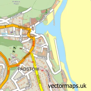
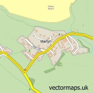
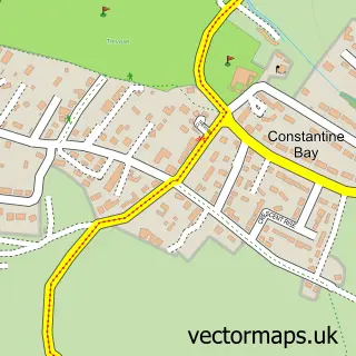
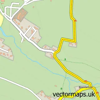
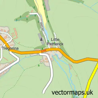
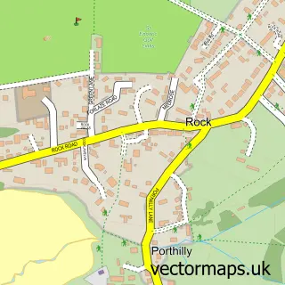
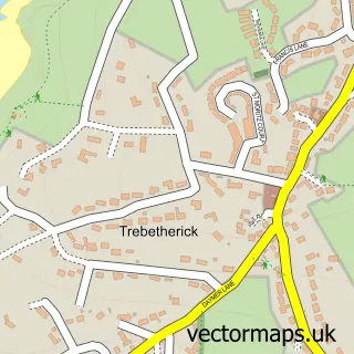
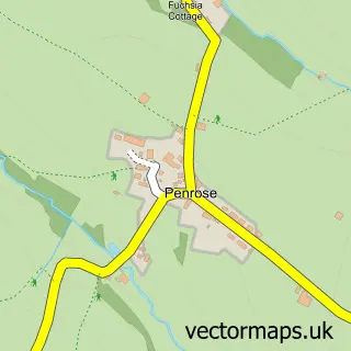
Nearby street map samples around Trevone


More street maps in Cornwall
750 metre map area coverage
Boundary, postcode and point of interest information for the 750m x 750m rectangle centred on this sample map.
Boundaries containing map centre
Constituency: North Cornwall Co Const
District: Cornwall
Icb: NHS Cornwall and the Isles of Scilly ICB
Parish: Padstow CP
Police Force: devon and cornwall
Postcode District: PL28
Postcode Sector: PL28 8
Nearby boundaries intersecting sample
No additional intersecting boundaries found.
Postcode coverage
POI category counts
Hotel: 4
Farm: 2
Anglican Church: 1
Beauty And Spa: 1
Bed And Breakfast: 1
Business: 1
Convenience Store: 1
Event Planning: 1
Financial Advising: 1
Holiday Rental Home: 1
Sample points of interest
- Trevone: St Saviour
- Katie Steward Aesthetics
- Pols Piece Holidays
- Hall Associates Europe LLP
- The Shop Trevone Farm
- Trevone Village Hall
- Stein's at Trevone Farm
- Stein's at Trevone Farm
- Higman Associates
- Blue Waves
- Cornwall Holidays Dovecote Trevone
- Pols Piece Holidays
Create a larger editable map of Trevone
This sample shows only a 750 metre area. To create a larger map of Trevone, use our map builder to choose your own coverage area, add titles and download editable SVG, PDF and PNG files.
Create a custom map of Trevone