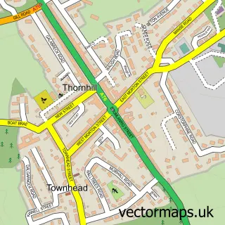
This Penpont street map is a detailed vector street map covering a 750m x 750m area. Select a larger area to create and download your own vector street map of Penpont.
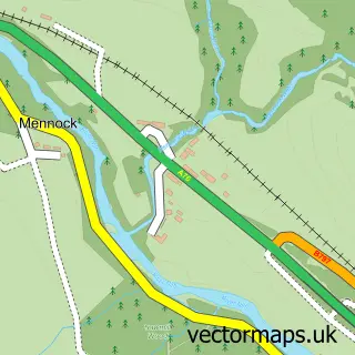
The 750-metre map sample for Penpont covers 111 mapped buildings and approximately 10.8 km of road detail, of which 10 named roads are named. The immediate area includes 1 GP surgery within 2 miles and 1 MOT station, with 2 within 2 miles. The wider area around Penpont features 1 tourism point of interest, 1 food and drink venue and 2 hotels. To create a larger or custom map of Penpont, the map builder lets you define your own coverage area and download editable SVG, PDF and PNG files.
Create a larger editable map of Penpont
Choose any area you need and generate a high-quality vector map instantly. Perfect for print, planning, design, business and personal use.

This Penpont street map in Dumfries is available as downloadable SVG, PDF and PNG map files, or as a printed map for planning, business, display, education, local information and design work. You can also create a larger custom map area using the map selector.
What this Penpont map sample shows
Penpont lies within Dumfries And Galloway parish, part of Mid And Upper Nithsdale ward in the Dumfries And Galloway local authority area. The postcode geography for this area includes the DG postcode area, the DG3 postcode district and the DG3 4 postcode sector. Residents fall under the Dumfries And Galloway for NHS services.
Local features near Penpont
Within 2 milesAmenities and services in and around Penpont.
Administrative and postcode information for Penpont
Penpont lies within Dumfries And Galloway parish, part of Mid And Upper Nithsdale ward in the Dumfries And Galloway local authority area. The postcode geography for this area includes the DG postcode area, the DG3 postcode district and the DG3 4 postcode sector. Residents fall under the Dumfries And Galloway for NHS services.
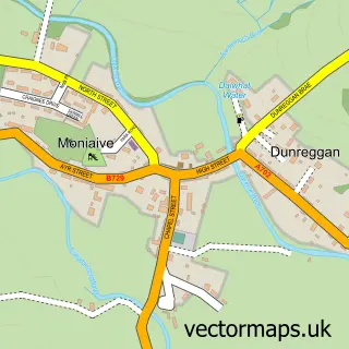
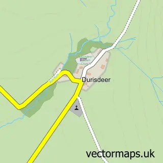
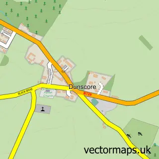
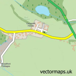
Nearby street map samples around Penpont

More street maps in Dumfries
750 metre map area coverage
Boundary, postcode and point of interest information for the 750m x 750m rectangle centred on this sample map.
Boundaries containing map centre
Constituency: Dumfriesshire, Clydesdale and Tweeddale Co Const
District: Dumfries and Galloway
Icb: Dumfries and Galloway
Postcode District: DG3
Postcode Sector: DG3 4
Ward: Mid and Upper Nithsdale Ward
Nearby boundaries intersecting sample
No additional intersecting boundaries found.
Postcode coverage
POI category counts
Driving School: 2
Art Gallery: 1
Automotive Repair: 1
Cafe: 1
Church Cathedral: 1
Community Services Non Profits: 1
Elementary School: 1
Farm: 1
Furniture Store: 1
Grocery Store: 1
Sample points of interest
- The Rooks Gallery
- Penpont Garage
- Three Villages Cafe
- Penpont Church
- KPT Development Trust
- Ian Crosbie School Of Motoring
- Iancrosbie
- Penpont Primary School
- Clonhie Farm
- Tools and Timbers
- Penpont Village Shop
- Penpont Heritage Centre
Create a larger editable map of Penpont
This sample shows only a 750 metre area. To create a larger map of Penpont, use our map builder to choose your own coverage area, add titles and download editable SVG, PDF and PNG files.
Create a custom map of Penpont