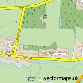
This Penwood street map is a detailed vector street map covering a 750m x 750m area. Select a larger area to create and download your own vector street map of Penwood.
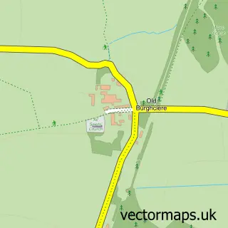
The 750-metre map sample for Penwood covers 110 mapped buildings and approximately 9.0 km of road detail, of which 4 named roads are named. The immediate area includes 2 MOT stations within 2 miles. The wider area around Penwood features 1 tourism point of interest. To create a larger or custom map of Penwood, the map builder lets you define your own coverage area and download editable SVG, PDF and PNG files.
Create a larger editable map of Penwood
Choose any area you need and generate a high-quality vector map instantly. Perfect for print, planning, design, business and personal use.

This Penwood street map in Hampshire is available as downloadable SVG, PDF and PNG map files, or as a printed map for planning, business, display, education, local information and design work. You can also create a larger custom map area using the map selector.
What this Penwood map sample shows
Penwood lies within East Woodhay Cp parish, part of East Woodhay ward in the Basingstoke And Deane District (B) local authority area. The postcode geography for this area includes the RG postcode area, the RG20 postcode district and the RG20 9 postcode sector. Residents fall under the Nhs Hampshire And Isle Of Wight Integrated Care Board for NHS services.
Local features near Penwood
Within 2 milesAmenities and services in and around Penwood.
Administrative and postcode information for Penwood
Penwood lies within East Woodhay Cp parish, part of East Woodhay ward in the Basingstoke And Deane District (B) local authority area. The postcode geography for this area includes the RG postcode area, the RG20 postcode district and the RG20 9 postcode sector. Residents fall under the Nhs Hampshire And Isle Of Wight Integrated Care Board for NHS services.
Nearby street map samples around Penwood
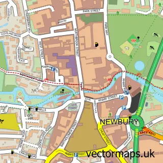

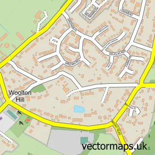
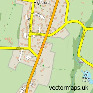
More street maps in Hampshire
750 metre map area coverage
Boundary, postcode and point of interest information for the 750m x 750m rectangle centred on this sample map.
Boundaries containing map centre
Constituency: North West Hampshire Co Const
County: Hampshire County
District: Basingstoke and Deane District (B)
Icb: NHS Hampshire and Isle of Wight ICB
Parish: Highclere CP
Police Force: hampshire
Postcode District: RG20
Postcode Sector: RG20 9
Ward: Evingar Ward
Nearby boundaries intersecting sample
No additional intersecting boundaries found.
Postcode coverage
POI category counts
Convenience Store: 2
Building Supply Store: 1
Dog Park: 1
Furniture Assembly: 1
Hair Extensions: 1
Package Locker: 1
Park: 1
Professional Services: 1
Transportation: 1
Sample points of interest
- Stephen Brown Electrical Services
- Spar
- Woodlands Stores
- Brownhill Dogwood
- Velvet Marmalade Upholstery
- Emily Jane Hair - Luxury Hair Extension Boutique & Training
- InPost
- Penwood Forest
- Steven Parker Photography
- Parkes International Transport
Create a larger editable map of Penwood
This sample shows only a 750 metre area. To create a larger map of Penwood, use our map builder to choose your own coverage area, add titles and download editable SVG, PDF and PNG files.
Create a custom map of Penwood