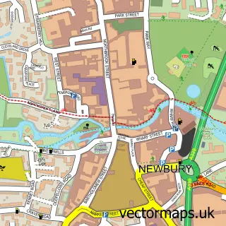
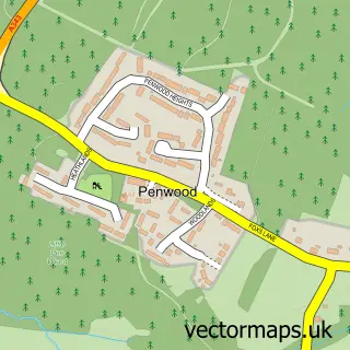
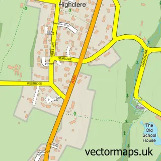
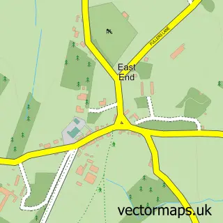
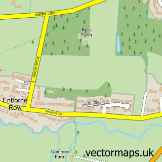
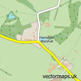
This Woolton Hill street map is a detailed vector street map covering a 750m x 750m area. Select a larger area to create and download your own vector street map of Woolton Hill.
The 750-metre map sample for Woolton Hill covers 402 mapped buildings and approximately 13.3 km of road detail, of which 15 named roads are named. The immediate area includes 2 schools and 2 MOT stations within 2 miles. The wider area around Woolton Hill features 3 tourism points of interest and 1 hotel. To create a larger or custom map of Woolton Hill, the map builder lets you define your own coverage area and download editable SVG, PDF and PNG files.
Create a larger editable map of Woolton Hill
Choose any area you need and generate a high-quality vector map instantly. Perfect for print, planning, design, business and personal use.

This Woolton Hill street map in Hampshire is available as downloadable SVG, PDF and PNG map files, or as a printed map for planning, business, display, education, local information and design work. You can also create a larger custom map area using the map selector.
What this Woolton Hill map sample shows
Woolton Hill lies within East Woodhay Cp parish, part of East Woodhay ward in the Basingstoke And Deane District (B) local authority area. The postcode geography for this area includes the RG postcode area, the RG20 postcode district and the RG20 9 postcode sector. Residents fall under the Nhs Hampshire And Isle Of Wight Integrated Care Board for NHS services.
Local features near Woolton Hill
Within 2 milesAmenities and services in and around Woolton Hill.
Administrative and postcode information for Woolton Hill
The local authority covering Woolton Hill is Basingstoke And Deane District (B), within the county of Hampshire. The settlement lies within East Woodhay ward and East Woodhay Cp civil parish. The RG20 postcode district and RG20 9 postcode sector serve the immediate area. NHS provision in the area is delivered through Hampshire Hospitals Nhs Foundation Trust.
Nearby street map samples around Woolton Hill

More street maps in Hampshire
750 metre map area coverage
Boundary, postcode and point of interest information for the 750m x 750m rectangle centred on this sample map.
Boundaries containing map centre
Constituency: North West Hampshire Co Const
County: Hampshire County
District: Basingstoke and Deane District (B)
Icb: NHS Hampshire and Isle of Wight ICB
Parish: East Woodhay CP
Police Force: hampshire
Postcode District: RG20
Postcode Sector: RG20 9
Ward: Evingar Ward
Nearby boundaries intersecting sample
Parish: Highclere CP
Postcode coverage
POI category counts
Landmark And Historical Building: 2
Pet Groomer: 2
Retail: 2
Auto Glass Service: 1
Auto Loan Provider: 1
Business Manufacturing And Supply: 1
Community Center: 1
Dog Walkers: 1
Electronics Repair Shop: 1
Elementary School: 1
Sample points of interest
- Arc Windows
- Positive Mortgages
- AmberTronic Limited
- Woolton Hill Church Hall
- Take The Lead Newbury
- Lumberg UK Ltd.
- Woolton Hill Junior School
- Eternal Blossom
- Rabbah Bloodstock
- Villas In Emerald
- Woolton Hill
- Woolton Hill Village Market
Create a larger editable map of Woolton Hill
This sample shows only a 750 metre area. To create a larger map of Woolton Hill, use our map builder to choose your own coverage area, add titles and download editable SVG, PDF and PNG files.
Create a custom map of Woolton Hill