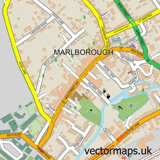
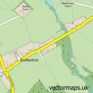
This Pewsey street map is a detailed vector street map covering a 750m x 750m area. Select a larger area to create and download your own vector street map of Pewsey.
The 750-metre map sample for Pewsey covers 457 mapped buildings and approximately 15.7 km of road detail, of which 36 named roads are named. The immediate area includes 4 pubs and 1 MOT station, with 4 within 2 miles. The wider area around Pewsey features 3 tourism points of interest, 6 food and drink venues and 1 hotel. To create a larger or custom map of Pewsey, the map builder lets you define your own coverage area and download editable SVG, PDF and PNG files.
Create a larger editable map of Pewsey
Choose any area you need and generate a high-quality vector map instantly. Perfect for print, planning, design, business and personal use.

This Pewsey street map in Wiltshire is available as downloadable SVG, PDF and PNG map files, or as a printed map for planning, business, display, education, local information and design work. You can also create a larger custom map area using the map selector.
What this Pewsey map sample shows
Pewsey lies within Pewsey Cp parish, part of Pewsey ward in the Wiltshire local authority area. The postcode geography for this area includes the SN postcode area, the SN9 postcode district and the SN9 5 postcode sector. Residents fall under the Nhs Bath And North East Somerset, Swindon And Wiltshire Integrated Care Board for NHS services.
Local features near Pewsey
Within 2 milesAmenities and services in and around Pewsey.
Administrative and postcode information for Pewsey
The local authority covering Pewsey is Wiltshire, within the county of Wiltshire. The settlement lies within Pewsey ward and Pewsey Cp civil parish. The SN9 postcode district and SN9 5 postcode sector serve the immediate area. NHS provision in the area is delivered through Great Western Hospitals Nhs Foundation Trust.
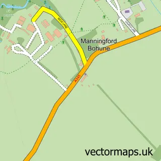
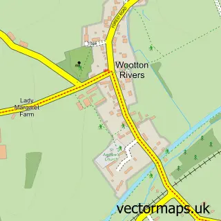
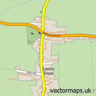
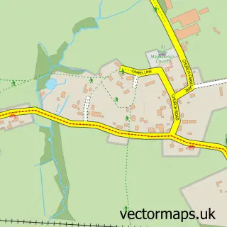
Nearby street map samples around Pewsey

More street maps in Wiltshire
750 metre map area coverage
Boundary, postcode and point of interest information for the 750m x 750m rectangle centred on this sample map.
Boundaries containing map centre
Constituency: East Wiltshire Co Const
District: Wiltshire
Icb: NHS Bath and North East Somerset Swindon and Wiltshire ICB
Parish: Pewsey CP
Police Force: wiltshire
Postcode District: SN9
Postcode Sector: SN9 5
Nearby boundaries intersecting sample
No additional intersecting boundaries found.
Postcode coverage
POI category counts
Church Cathedral: 4
Pub: 4
Sports Club And League: 4
Art Gallery: 3
Beauty Salon: 3
Dentist: 3
Hair Salon: 3
Public And Government Association: 3
Arts And Crafts: 2
Atms: 2
Sample points of interest
- Farrant Frost
- Fresh Bananas is a Trading Name of Tin Soldier Marketing
- P.J.Amor Builders Ltd.
- Pewsey: St John the Baptist
- Prospect Hospice Charity Shop
- Fowler Architecture & Planning
- Fowler Architecture & Planning
- Made in the Pewsey Vale
- McNeill Gallery of Contemporary Art
- Old Dairy Studio
- Elletson PR and Co
- The Craft Studio in Pewsey
Create a larger editable map of Pewsey
This sample shows only a 750 metre area. To create a larger map of Pewsey, use our map builder to choose your own coverage area, add titles and download editable SVG, PDF and PNG files.
Create a custom map of Pewsey