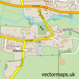
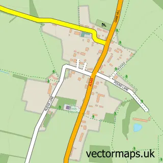
This Marlborough street map is a detailed vector street map covering a 750m x 750m area. Select a larger area to create and download your own vector street map of Marlborough.
The 750-metre map sample for Marlborough covers 381 mapped buildings and approximately 14.9 km of road detail, of which 31 named roads are named. The immediate area includes 1 school, 1 GP surgery, 8 pubs and 1 MOT station, with 6 within 2 miles. The wider area around Marlborough features 5 tourism points of interest, 31 food and drink venues and 6 hotels. To create a larger or custom map of Marlborough, the map builder lets you define your own coverage area and download editable SVG, PDF and PNG files.
Create a larger editable map of Marlborough
Choose any area you need and generate a high-quality vector map instantly. Perfect for print, planning, design, business and personal use.

This Marlborough street map in Wiltshire is available as downloadable SVG, PDF and PNG map files, or as a printed map for planning, business, display, education, local information and design work. You can also create a larger custom map area using the map selector.
What this Marlborough map sample shows
Marlborough lies within Marlborough Cp parish, part of Marlborough East ward in the Wiltshire local authority area. The postcode geography for this area includes the SN postcode area, the SN8 postcode district and the SN8 1 postcode sector. Residents fall under the Nhs Bath And North East Somerset, Swindon And Wiltshire Integrated Care Board for NHS services.
Local features near Marlborough
Within 2 milesAmenities and services in and around Marlborough.
Administrative and postcode information for Marlborough
Marlborough lies within Marlborough Cp parish, part of Marlborough East ward in the Wiltshire local authority area. The postcode geography for this area includes the SN postcode area, the SN8 postcode district and the SN8 1 postcode sector. Residents fall under the Nhs Bath And North East Somerset, Swindon And Wiltshire Integrated Care Board for NHS services.
Nearby street map samples around Marlborough

More street maps in Wiltshire
750 metre map area coverage
Boundary, postcode and point of interest information for the 750m x 750m rectangle centred on this sample map.
Boundaries containing map centre
Constituency: East Wiltshire Co Const
District: Wiltshire
Icb: NHS Bath and North East Somerset Swindon and Wiltshire ICB
Parish: Marlborough CP
Police Force: wiltshire
Postcode District: SN8
Postcode Sector: SN8 1
Nearby boundaries intersecting sample
Postcode Sector: SN8 4
Postcode coverage
POI category counts
Clothing Store: 23
Real Estate Agent: 13
Cafe: 10
Beauty Salon: 8
Pub: 8
Charity Organization: 7
Coffee Shop: 7
Professional Services: 7
Womens Clothing Store: 7
Art Gallery: 6
Sample points of interest
- Bew & Co. Ltd.
- Icloud Accounting Ltd
- Acupuncture & AntiAgeing
- London Road Well Being Clinic
- Marlborough Wellbeing Clinic Ltd.
- Stephen Brooke
- The Wellbeing Clinic
- Jamslice
- M Z a
- Town Print Production
- Wildish&co
- Get Plucked
Create a larger editable map of Marlborough
This sample shows only a 750 metre area. To create a larger map of Marlborough, use our map builder to choose your own coverage area, add titles and download editable SVG, PDF and PNG files.
Create a custom map of Marlborough