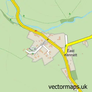
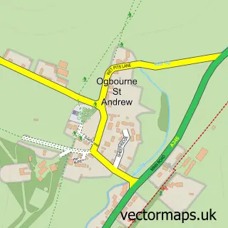
This Lockeridge street map is a detailed vector street map covering a 750m x 750m area. Select a larger area to create and download your own vector street map of Lockeridge.
The 750-metre map sample for Lockeridge covers 114 mapped buildings and approximately 8.8 km of road detail, of which 2 named roads are named. The immediate area includes 1 school, 2 pubs and 1 MOT station, with 2 within 2 miles. The wider area around Lockeridge features 2 tourism points of interest and 2 food and drink venues. To create a larger or custom map of Lockeridge, the map builder lets you define your own coverage area and download editable SVG, PDF and PNG files.
Create a larger editable map of Lockeridge
Choose any area you need and generate a high-quality vector map instantly. Perfect for print, planning, design, business and personal use.

This Lockeridge street map in Wiltshire is available as downloadable SVG, PDF and PNG map files, or as a printed map for planning, business, display, education, local information and design work. You can also create a larger custom map area using the map selector.
What this Lockeridge map sample shows
Lockeridge lies within West Overton Cp parish, part of West Selkley ward in the Wiltshire local authority area. The postcode geography for this area includes the SN postcode area, the SN8 postcode district and the SN8 4 postcode sector. Residents fall under the Nhs Bath And North East Somerset, Swindon And Wiltshire Integrated Care Board for NHS services.
Local features near Lockeridge
Within 2 milesAmenities and services in and around Lockeridge.
Administrative and postcode information for Lockeridge
The local authority covering Lockeridge is Wiltshire, within the county of Wiltshire. The settlement lies within West Selkley ward and West Overton Cp civil parish. The SN8 postcode district and SN8 4 postcode sector serve the immediate area. NHS provision in the area is delivered through Great Western Hospitals Nhs Foundation Trust.
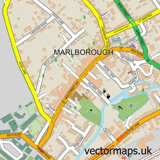
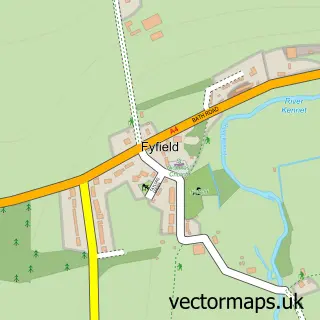
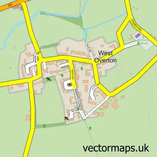
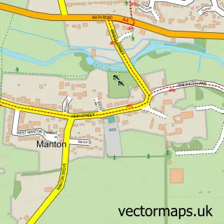
Nearby street map samples around Lockeridge

More street maps in Wiltshire
750 metre map area coverage
Boundary, postcode and point of interest information for the 750m x 750m rectangle centred on this sample map.
Boundaries containing map centre
Constituency: East Wiltshire Co Const
District: Wiltshire
Icb: NHS Bath and North East Somerset Swindon and Wiltshire ICB
Parish: West Overton CP
Police Force: wiltshire
Postcode District: SN8
Postcode Sector: SN8 4
Nearby boundaries intersecting sample
Parish: Fyfield CP
Postcode Sector: SN8 1
Postcode coverage
POI category counts
Elementary School: 2
Landmark And Historical Building: 2
Pub: 2
Bakery: 1
Caterer: 1
Home Service: 1
Massage Therapy: 1
Movie Television Studio: 1
Sample points of interest
- The Baking Chambers
- Kennett Valley Hall
- Kennet Valley C of E School
- Kennet Valley C of E School
- Childminder Helen Seddon
- Lockeridge
- Lockeridge Dene and Piggledene
- Massage2Health
- Sarsen Digital Video
- The Who'd A Thought It
- The Whod A Thought It
Create a larger editable map of Lockeridge
This sample shows only a 750 metre area. To create a larger map of Lockeridge, use our map builder to choose your own coverage area, add titles and download editable SVG, PDF and PNG files.
Create a custom map of Lockeridge