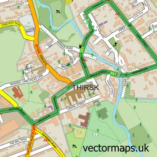
This Pickhill street map is a detailed vector street map covering a 750m x 750m area. Select a larger area to create and download your own vector street map of Pickhill.
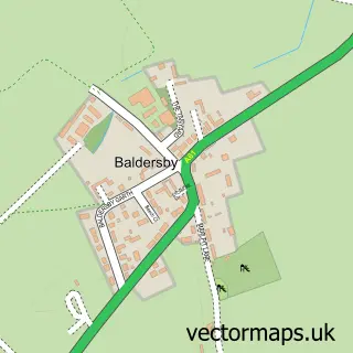
The 750-metre map sample for Pickhill covers 200 mapped buildings and approximately 6.9 km of road detail, of which 6 named roads are named. The immediate area includes 1 school and 1 MOT station. To create a larger or custom map of Pickhill, the map builder lets you define your own coverage area and download editable SVG, PDF and PNG files.
Create a larger editable map of Pickhill
Choose any area you need and generate a high-quality vector map instantly. Perfect for print, planning, design, business and personal use.

This Pickhill street map in North Yorkshire is available as downloadable SVG, PDF and PNG map files, or as a printed map for planning, business, display, education, local information and design work. You can also create a larger custom map area using the map selector.
What this Pickhill map sample shows
Pickhill lies within Pickhill With Roxby Cp parish, part of Tanfield ward in the North Yorkshire local authority area. The postcode geography for this area includes the YO postcode area, the YO7 postcode district and the YO7 4 postcode sector. Residents fall under the Nhs Humber And North Yorkshire Integrated Care Board for NHS services.
Local features near Pickhill
Within 2 milesAmenities and services in and around Pickhill.
Administrative and postcode information for Pickhill
Pickhill lies within Pickhill With Roxby Cp parish, part of Tanfield ward in the North Yorkshire local authority area. The postcode geography for this area includes the YO postcode area, the YO7 postcode district and the YO7 4 postcode sector. Residents fall under the Nhs Humber And North Yorkshire Integrated Care Board for NHS services.
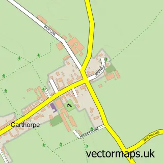
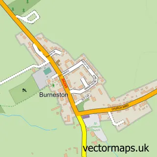
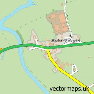
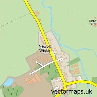
Nearby street map samples around Pickhill

More street maps in North Yorkshire
750 metre map area coverage
Boundary, postcode and point of interest information for the 750m x 750m rectangle centred on this sample map.
Boundaries containing map centre
Constituency: Thirsk and Malton Co Const
District: North Yorkshire
Icb: NHS Humber and North Yorkshire ICB
Parish: Pickhill with Roxby CP
Police Force: north yorkshire
Postcode District: YO7
Postcode Sector: YO7 4
Nearby boundaries intersecting sample
No additional intersecting boundaries found.
Postcode coverage
POI category counts
Automotive Repair: 2
Building Contractor: 2
Auto Detailing: 1
Chinese Restaurant: 1
Church Cathedral: 1
Elementary School: 1
Farm: 1
Furniture Manufacturers: 1
Furniture Store: 1
International Business And Trade Services: 1
Sample points of interest
- Scrub'd Valeting Services
- Harveys Pickhill ltd
- Revive
- TWS Construction UK Ltd.
- Tws Construction (uk) Ltd.
- The Nags Head
- All Saints Church
- Pickhill Church of England Primary School
- Cow Corner Milk
- Mother Hubbards Pine Cupboards
- Mother Hubbard's Pine Cupboards
- Advent Rooflines Ltd.
Create a larger editable map of Pickhill
This sample shows only a 750 metre area. To create a larger map of Pickhill, use our map builder to choose your own coverage area, add titles and download editable SVG, PDF and PNG files.
Create a custom map of Pickhill