This Carthorpe street map is a detailed vector street map covering a 750m x 750m area. Select a larger area to create and download your own vector street map of Carthorpe.
The 750-metre map sample for Carthorpe covers 116 mapped buildings and approximately 8.8 km of road detail, of which 4 named roads are named. The immediate area includes 1 pub. The wider area around Carthorpe features 1 food and drink venue. To create a larger or custom map of Carthorpe, the map builder lets you define your own coverage area and download editable SVG, PDF and PNG files.
Create a larger editable map of Carthorpe
Choose any area you need and generate a high-quality vector map instantly. Perfect for print, planning, design, business and personal use.

This Carthorpe street map in North Yorkshire is available as downloadable SVG, PDF and PNG map files, or as a printed map for planning, business, display, education, local information and design work. You can also create a larger custom map area using the map selector.
What this Carthorpe map sample shows
Carthorpe lies within Carthorpe Cp parish, part of Tanfield ward in the North Yorkshire local authority area. The postcode geography for this area includes the DL postcode area, the DL8 postcode district and the DL8 2 postcode sector. Residents fall under the Nhs Humber And North Yorkshire Integrated Care Board for NHS services.
Local features near Carthorpe
Within 2 milesAmenities and services in and around Carthorpe.
Administrative and postcode information for Carthorpe
The local authority covering Carthorpe is North Yorkshire, within the county of North Yorkshire. The settlement lies within Tanfield ward and Carthorpe Cp civil parish. The DL8 postcode district and DL8 2 postcode sector serve the immediate area. NHS provision in the area is delivered through South Tees Hospitals Nhs Foundation Trust.
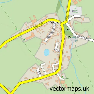
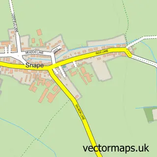
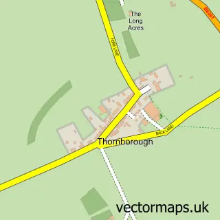
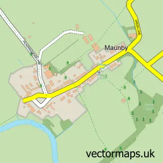
Nearby street map samples around Carthorpe


More street maps in North Yorkshire
750 metre map area coverage
Boundary, postcode and point of interest information for the 750m x 750m rectangle centred on this sample map.
Boundaries containing map centre
Constituency: Thirsk and Malton Co Const
District: North Yorkshire
Icb: NHS Humber and North Yorkshire ICB
Parish: Carthorpe CP
Police Force: north yorkshire
Postcode District: DL8
Postcode Sector: DL8 2
Nearby boundaries intersecting sample
No additional intersecting boundaries found.
Postcode coverage
POI category counts
Automotive Repair: 1
Bar: 1
Bed And Breakfast: 1
Books Mags Music And Video: 1
Caterer: 1
Farm: 1
Home Service: 1
Ice Cream Shop: 1
Land Surveying: 1
Metal Fabricator: 1
Sample points of interest
- Hare's Garage in Carthorpe, Bedale
- Fox & Hounds
- Hillside Bed and Breakfast
- Post Office-Carthorpe Mobile Service
- P & A Food Management Services
- Carthorpe House Farm
- Bainbridge Flooring
- Gallone Ices Bedale
- Howe Surveyors Ltd
- Yorkshire Steel Buildings
- Bedale Mobile Physiotherapy
- The Fox & Hounds
Create a larger editable map of Carthorpe
This sample shows only a 750 metre area. To create a larger map of Carthorpe, use our map builder to choose your own coverage area, add titles and download editable SVG, PDF and PNG files.
Create a custom map of Carthorpe