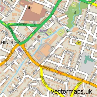
This Platt Bridge street map is a detailed vector street map covering a 750m x 750m area. Select a larger area to create and download your own vector street map of Platt Bridge.
The 750-metre map sample for Platt Bridge covers 440 mapped buildings and approximately 19.6 km of road detail, of which 56 named roads are named. The immediate area includes 1 school, 10 GP surgeries within 2 miles, 2 pubs and 1 MOT station, with 13 within 2 miles. The wider area around Platt Bridge features 4 food and drink venues and 1 hotel. To create a larger or custom map of Platt Bridge, the map builder lets you define your own coverage area and download editable SVG, PDF and PNG files.
Create a larger editable map of Platt Bridge
Choose any area you need and generate a high-quality vector map instantly. Perfect for print, planning, design, business and personal use.

This Platt Bridge street map in Greater Manchester is available as downloadable SVG, PDF and PNG map files, or as a printed map for planning, business, display, education, local information and design work. You can also create a larger custom map area using the map selector.
What this Platt Bridge map sample shows
Platt Bridge lies within Wigan District (B) parish, part of Abram ward in the Wigan District (B) local authority area. The postcode geography for this area includes the WN postcode area, the WN2 postcode district and the WN2 5 postcode sector. Residents fall under the Nhs Greater Manchester Integrated Care Board for NHS services.
Local features near Platt Bridge
Within 2 milesAmenities and services in and around Platt Bridge.
Administrative and postcode information for Platt Bridge
The local authority covering Platt Bridge is Wigan District (B), within the county of Greater Manchester. The settlement lies within Abram ward and Wigan District (B) civil parish. The WN2 postcode district and WN2 5 postcode sector serve the immediate area. NHS provision in the area is delivered through Wrightington, Wigan And Leigh Nhs Foundation Trust.
Nearby street map samples around Platt Bridge


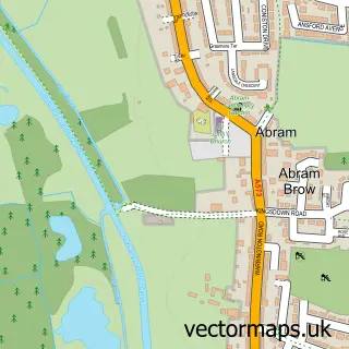
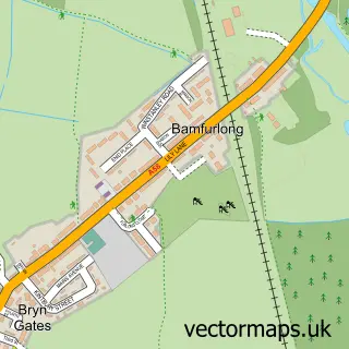
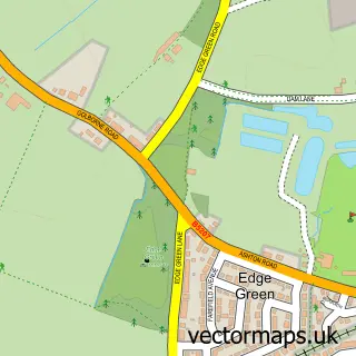
More street maps in Greater Manchester
750 metre map area coverage
Boundary, postcode and point of interest information for the 750m x 750m rectangle centred on this sample map.
Boundaries containing map centre
Constituency: Makerfield Boro Const
District: Wigan District (B)
Icb: NHS Greater Manchester ICB
Police Force: greater manchester
Postcode District: WN2
Postcode Sector: WN2 5
Ward: Abram Ward
Nearby boundaries intersecting sample
Postcode Sector: WN2 3
Postcode coverage
POI category counts
Beauty Salon: 7
Automotive Repair: 5
Convenience Store: 5
Pizza Restaurant: 5
Elementary School: 4
Fast Food Restaurant: 4
Atms: 3
Barber: 3
Betting Center: 3
Community Center: 3
Sample points of interest
- ATM (Post Office)
- PayPoint
- The Cooperative Food (BF) Platt Bridge, Platt Bridge
- Northwest X J Services
- AikoTech Hybrid Technology
- Bickershaw Lane Garage MOT Tyre and Service Centre
- GE Motors Ltd
- Jagman
- Jagman Ltd
- InstaVolt Charging Station
- Beeston Bakery
- Mini Mikes BarberShop
Create a larger editable map of Platt Bridge
This sample shows only a 750 metre area. To create a larger map of Platt Bridge, use our map builder to choose your own coverage area, add titles and download editable SVG, PDF and PNG files.
Create a custom map of Platt Bridge