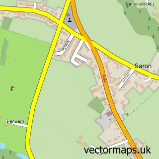
This Pont-Tyweli street map is a detailed vector street map covering a 750m x 750m area. Select a larger area to create and download your own vector street map of Pont-Tyweli.
The 750-metre map sample for Pont-Tyweli covers 130 mapped buildings and approximately 9.3 km of road detail, of which 4 named roads are named. The immediate area includes 1 pub and 1 MOT station, with 2 within 2 miles. The wider area around Pont-Tyweli features 2 tourism points of interest and 1 food and drink venue. To create a larger or custom map of Pont-Tyweli, the map builder lets you define your own coverage area and download editable SVG, PDF and PNG files.
Create a larger editable map of Pont-Tyweli
Choose any area you need and generate a high-quality vector map instantly. Perfect for print, planning, design, business and personal use.

This Pont-Tyweli street map in Dyfed is available as downloadable SVG, PDF and PNG map files, or as a printed map for planning, business, display, education, local information and design work. You can also create a larger custom map area using the map selector.
What this Pont-Tyweli map sample shows
Pont-Tyweli lies within Llanfihangel-Ar-Arth Community parish, part of Llanfihangel-Ar-Arth ward in the Sir Gaerfyrddin - Carmarthenshire local authority area. The postcode geography for this area includes the SA postcode area, the SA44 postcode district and the SA44 4 postcode sector. Residents fall under the Hywel Dda University Health Board for NHS services.
Local features near Pont-Tyweli
Within 2 milesAmenities and services in and around Pont-Tyweli.
Administrative and postcode information for Pont-Tyweli
The local authority covering Pont-Tyweli is Sir Gaerfyrddin - Carmarthenshire, within the county of Dyfed. The settlement lies within Llanfihangel-Ar-Arth ward and Llanfihangel-Ar-Arth Community civil parish. The SA44 postcode district and SA44 4 postcode sector serve the immediate area. NHS provision in the area is delivered through Hywel Dda University Health Board.
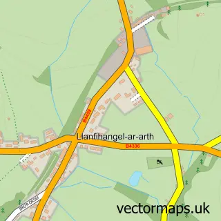
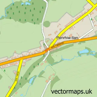
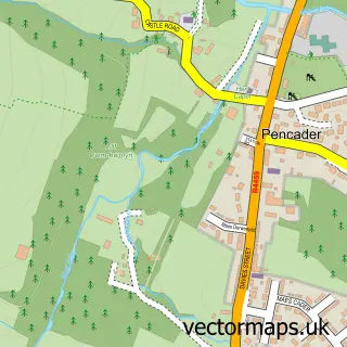
Nearby street map samples around Pont-Tyweli


More street maps in Dyfed
750 metre map area coverage
Boundary, postcode and point of interest information for the 750m x 750m rectangle centred on this sample map.
Boundaries containing map centre
Constituency: Caerfyrddin Co Const
District: Sir Gaerfyrddin - Carmarthenshire
Icb: Hywel Dda
Parish: Llangeler Community
Police Force: dyfed-powys
Postcode District: SA44
Postcode Sector: SA44 4
Nearby boundaries intersecting sample
Constituency: Ceredigion Preseli Co Const
District: Sir Ceredigion - Ceredigion
Parish: Llandysul Community, Llanfihangel-ar-Arth Community
Postcode Sector: SA44 5
Postcode coverage
POI category counts
Automotive Repair: 3
Convenience Store: 3
Attractions And Activities: 2
Building Supply Store: 2
Gas Station: 2
Bakery: 1
Business Management Services: 1
Business To Business: 1
Car Dealer: 1
Chemical Plant: 1
Sample points of interest
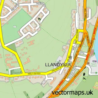
- Llandysul Paddlers Canoe Centre
- Yr Ardd
- Highway Garage Workshop
- Llandysul Tyre Centre
- Twelly Castle Services
- Tregroes Waffle Bakery
- EDAF Building Supplies
- Jewson Llandysul
- Llandysul Post Office
- Certas Energy - Fuel Depot
- Skoda Auto
- West Wales Gas
Create a larger editable map of Pont-Tyweli
This sample shows only a 750 metre area. To create a larger map of Pont-Tyweli, use our map builder to choose your own coverage area, add titles and download editable SVG, PDF and PNG files.
Create a custom map of Pont-Tyweli