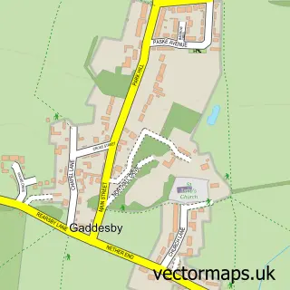
This Queniborough street map is a detailed vector street map covering a 750m x 750m area. Select a larger area to create and download your own vector street map of Queniborough.
The 750-metre map sample for Queniborough covers 406 mapped buildings and approximately 17.8 km of road detail, of which 31 named roads are named. The immediate area includes 1 school, 2 GP surgeries within 2 miles, 4 pubs and 4 MOT stations within 2 miles. The wider area around Queniborough features 5 food and drink venues. To create a larger or custom map of Queniborough, the map builder lets you define your own coverage area and download editable SVG, PDF and PNG files.
Create a larger editable map of Queniborough
Choose any area you need and generate a high-quality vector map instantly. Perfect for print, planning, design, business and personal use.

This Queniborough street map in Leicestershire is available as downloadable SVG, PDF and PNG map files, or as a printed map for planning, business, display, education, local information and design work. You can also create a larger custom map area using the map selector.
What this Queniborough map sample shows
Queniborough lies within Queniborough Cp parish, part of Queniborough ward in the Charnwood District (B) local authority area. The postcode geography for this area includes the LE postcode area, the LE7 postcode district and the LE7 3 postcode sector. Residents fall under the Nhs Leicester, Leicestershire And Rutland Integrated Care Board for NHS services.
Local features near Queniborough
Within 2 milesAmenities and services in and around Queniborough.
Administrative and postcode information for Queniborough
Queniborough lies within Queniborough Cp parish, part of Queniborough ward in the Charnwood District (B) local authority area. The postcode geography for this area includes the LE postcode area, the LE7 postcode district and the LE7 3 postcode sector. Residents fall under the Nhs Leicester, Leicestershire And Rutland Integrated Care Board for NHS services.
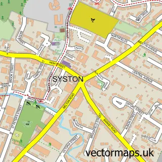
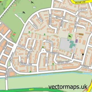
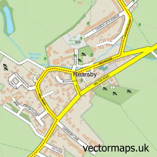
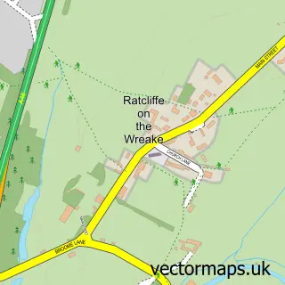
Nearby street map samples around Queniborough

More street maps in Leicestershire
750 metre map area coverage
Boundary, postcode and point of interest information for the 750m x 750m rectangle centred on this sample map.
Boundaries containing map centre
Constituency: Melton and Syston Co Const
County: Leicestershire County
District: Charnwood District (B)
Icb: NHS Leicester Leicestershire and Rutland ICB
Parish: Queniborough CP
Police Force: leicestershire
Postcode District: LE7
Postcode Sector: LE7 3
Ward: Wreake Valley Ward
Nearby boundaries intersecting sample
No additional intersecting boundaries found.
Postcode coverage
POI category counts
Pub: 4
Business Management Services: 2
Elementary School: 2
Physical Therapy: 2
Professional Services: 2
Advertising Agency: 1
Animal Shelter: 1
B2b Machinery And Tools: 1
Bar: 1
Beauty And Spa: 1
Sample points of interest
- White Line Design Limited
- Queniborough Cattery
- MJS Patterns And Moulds
- Nut and squirrel
- The Beauty Company Aesthetic Beauty Clinic
- Falcon Windows & Doors
- Post Office-Queniborough
- Queniborough Post Office
- Clarkes Queniborough
- Queniborough Village Hall
- Post Office Travel Money
- Thurnby Village Childcare
Create a larger editable map of Queniborough
This sample shows only a 750 metre area. To create a larger map of Queniborough, use our map builder to choose your own coverage area, add titles and download editable SVG, PDF and PNG files.
Create a custom map of Queniborough