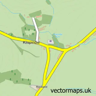
This Rait street map is a detailed vector street map covering a 750m x 750m area. Select a larger area to create and download your own vector street map of Rait.
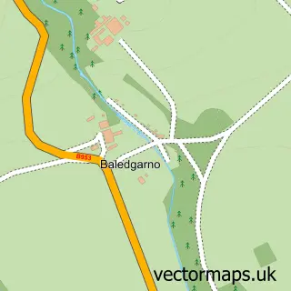
The 750-metre map sample for Rait covers 32 mapped buildings and approximately 6.4 km of road detail, of which 1 named road are named. The immediate area includes 2 MOT stations within 2 miles. The wider area around Rait features 1 food and drink venue. To create a larger or custom map of Rait, the map builder lets you define your own coverage area and download editable SVG, PDF and PNG files.
Create a larger editable map of Rait
Choose any area you need and generate a high-quality vector map instantly. Perfect for print, planning, design, business and personal use.

This Rait street map in Perth and Kinross is available as downloadable SVG, PDF and PNG map files, or as a printed map for planning, business, display, education, local information and design work. You can also create a larger custom map area using the map selector.
What this Rait map sample shows
Rait lies within Perth And Kinross parish, part of Carse Of Gowrie ward in the Perth And Kinross local authority area. The postcode geography for this area includes the PH postcode area, the PH2 postcode district and the PH2 7 postcode sector. Residents fall under the Tayside for NHS services.
Local features near Rait
Within 2 milesAmenities and services in and around Rait.
Administrative and postcode information for Rait
The local authority covering Rait is Perth And Kinross, within the county of Perth And Kinross. The settlement lies within Carse Of Gowrie ward and Perth And Kinross civil parish. The PH2 postcode district and PH2 7 postcode sector serve the immediate area. NHS provision in the area is delivered through Tayside.
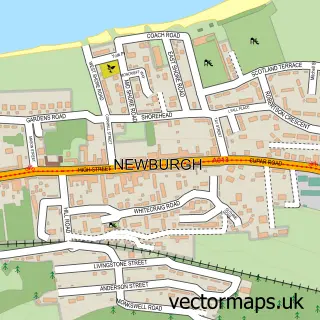
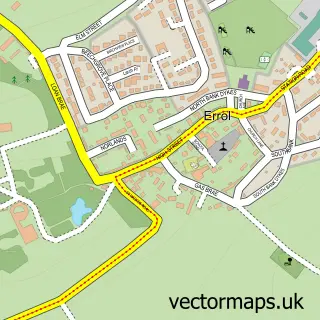
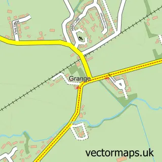
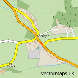
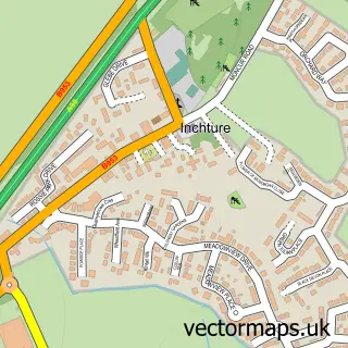
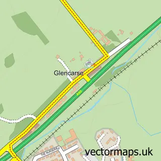
Nearby street map samples around Rait

More street maps in Perth and Kinross
750 metre map area coverage
Boundary, postcode and point of interest information for the 750m x 750m rectangle centred on this sample map.
Boundaries containing map centre
Constituency: Perth and Kinross-shire Co Const
District: Perth and Kinross
Icb: Tayside
Postcode District: PH2
Postcode Sector: PH2 7
Ward: Carse of Gowrie Ward
Nearby boundaries intersecting sample
No additional intersecting boundaries found.
Postcode coverage
POI category counts
Antique Store: 4
Used Vintage And Consignment: 2
Interior Design: 1
It Service And Computer Repair: 1
Painting: 1
Rental Services: 1
Restaurant: 1
Sample points of interest
- Bee and Squirrel
- Brian Julia Drinkhall
- Carse Antiques and Restorations
- Rait Antiques Centre
- Mary Leslie Interior Design Ltd.
- Mobile Computer Solutions
- Craig Neish Decorators
- Fernbank Holiday Cottage
- The Tufted Duck
- Inchmartine Tool Bazaar
- Julia Drinkhall Antiques & Interiors
Create a larger editable map of Rait
This sample shows only a 750 metre area. To create a larger map of Rait, use our map builder to choose your own coverage area, add titles and download editable SVG, PDF and PNG files.
Create a custom map of Rait