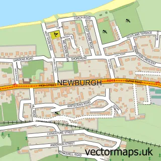
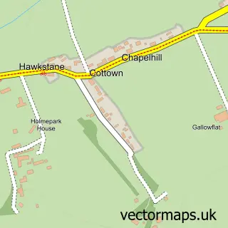
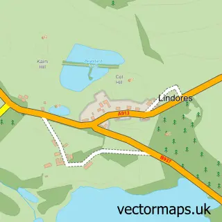
This Errol street map is a detailed vector street map covering a 750m x 750m area. Select a larger area to create and download your own vector street map of Errol.
The 750-metre map sample for Errol covers 137 mapped buildings and approximately 12.9 km of road detail, of which 20 named roads are named. The immediate area includes 1 GP surgery within 2 miles, 1 pub and 2 MOT stations within 2 miles. The wider area around Errol features 2 tourism points of interest, 5 food and drink venues and 1 hotel. To create a larger or custom map of Errol, the map builder lets you define your own coverage area and download editable SVG, PDF and PNG files.
Create a larger editable map of Errol
Choose any area you need and generate a high-quality vector map instantly. Perfect for print, planning, design, business and personal use.

This Errol street map in Perth and Kinross is available as downloadable SVG, PDF and PNG map files, or as a printed map for planning, business, display, education, local information and design work. You can also create a larger custom map area using the map selector.
What this Errol map sample shows
Errol lies within Perth And Kinross parish, part of Carse Of Gowrie ward in the Perth And Kinross local authority area. The postcode geography for this area includes the PH postcode area, the PH2 postcode district and the PH2 7 postcode sector. Residents fall under the Tayside for NHS services.
Local features near Errol
Within 2 milesAmenities and services in and around Errol.
Administrative and postcode information for Errol
Errol lies within Perth And Kinross parish, part of Carse Of Gowrie ward in the Perth And Kinross local authority area. The postcode geography for this area includes the PH postcode area, the PH2 postcode district and the PH2 7 postcode sector. Residents fall under the Tayside for NHS services.
Nearby street map samples around Errol

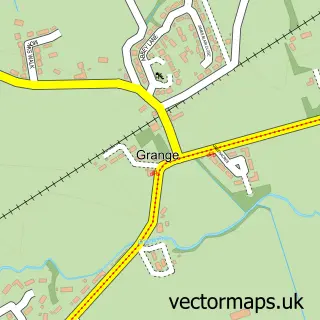
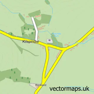
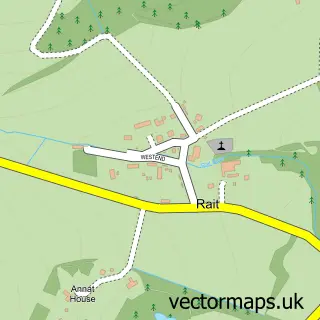
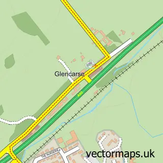
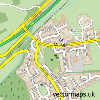
More street maps in Perth and Kinross
750 metre map area coverage
Boundary, postcode and point of interest information for the 750m x 750m rectangle centred on this sample map.
Boundaries containing map centre
Constituency: Perth and Kinross-shire Co Const
District: Perth and Kinross
Icb: Tayside
Postcode District: PH2
Postcode Sector: PH2 7
Ward: Carse of Gowrie Ward
Nearby boundaries intersecting sample
No additional intersecting boundaries found.
Postcode coverage
POI category counts
Cafe: 2
Coffee Shop: 2
Convenience Store: 2
Event Planning: 2
Freight And Cargo Service: 2
Professional Services: 2
Atms: 1
Banks: 1
British Restaurant: 1
Butcher Shop: 1
Sample points of interest
- ATM (Post Office)
- Bank of Scotland
- Old Smiddy
- A W Dobbie the Butcher
- AliBob Cafe
- Lass Of Gowrie
- Errol
- Carse Country Stoves
- Errol Parish Church
- The Green Acorn Coffee Shop
- The Lass O'Gowrie - Scotland
- Errol Village Hall
Create a larger editable map of Errol
This sample shows only a 750 metre area. To create a larger map of Errol, use our map builder to choose your own coverage area, add titles and download editable SVG, PDF and PNG files.
Create a custom map of Errol