Vector Maps logo
Home Why it works Popular maps Districts Samples Customizer Create Your Map
VectorMaps.uk
Home Popular maps Districts Samples Customizer Create Your Map Privacy Disclaimer
Home / UK Maps / Perth and Kinross / St Madoes Map

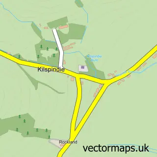
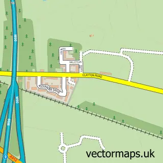
This St Madoes street map is a detailed vector street map covering a 750m x 750m area. Select a larger area to create and download your own vector street map of St Madoes.

St Madoes is a village in Perth And Kinross, in the Mid Scotland And Fife of Scotland. Historically, the area formed part of Perthshire. The settlement falls within the Perth And North Perthshire parliamentary constituency. It is served by the PH2 postcod

The 750-metre map sample for St Madoes covers 294 mapped buildings and approximately 16.7 km of road detail, of which 24 named roads are named. The wider area around St Madoes features 1 tourism point of interest and 1 food and drink venue. To create a larger or custom map of St Madoes, the map builder lets you define your own coverage area and download editable SVG, PDF and PNG files.

294Buildings
16.68 kmRoads
24Named roads
0Residents within 2 miles
Create your own

Create a larger editable map of St Madoes

Choose any area you need and generate a high-quality vector map instantly. Perfect for print, planning, design, business and personal use.

Choose any location
Editable SVG files
Any size up to A0
PDF, PNG & more
Instant download
High quality guaranteed
Create My Custom Map
Secure, private & no credit card required
St Madoes Vector Street Map
750m Sample
St Madoes vector street map sample showing roads, buildings and local features in a 750 metre preview area
Buy St Madoes Map Print from £12.95 Buy St Madoes Digital Map from £6

This St Madoes street map in Perth and Kinross is available as downloadable SVG, PDF and PNG map files, or as a printed map for planning, business, display, education, local information and design work. You can also create a larger custom map area using the map selector.

What this St Madoes map sample shows

St Madoes lies within Perth And Kinross parish, part of Carse Of Gowrie ward in the Perth And Kinross local authority area. The postcode geography for this area includes the PH postcode area, the PH2 postcode district and the PH2 7 postcode sector. Residents fall under the Tayside for NHS services.

Local features near St Madoes

Within 2 miles

Amenities and services in and around St Madoes.

1 Tourism & leisure
1 Food & drink
1 Vehicle services

Counts are approximate and based on publicly available data.

Administrative and postcode information for St Madoes

The local authority covering St Madoes is Perth And Kinross, within the county of Perth And Kinross. The settlement lies within Carse Of Gowrie ward and Perth And Kinross civil parish. The PH2 postcode district and PH2 7 postcode sector serve the immediate area. NHS provision in the area is delivered through Tayside.

Parish PERTH AND KINROSS
Ward Carse of Gowrie
District / local authority Perth and Kinross
County Perth and Kinross
Historic county Perthshire
Postcode district PH2
Postcode sector PH2 7
Parliamentary constituency Perth and North Perthshire
Region Mid Scotland and Fife
Country Scotland

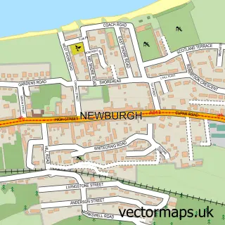
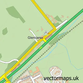
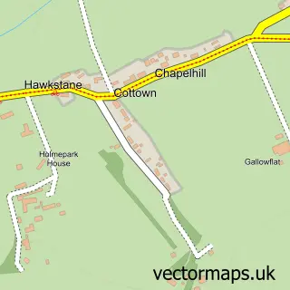
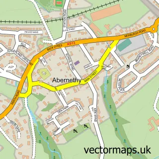
Nearby street map samples around St Madoes

Street map sample of Newburgh, Fife Newburgh Town - Fife - 3.1 miles Street map sample of Perth, Perth and Kinross Perth City - Perth and Kinross - 5.0 miles Street map sample of Glencarse, Perth and Kinross Glencarse Village - Perth and Kinross - 0.3 miles Street map sample of Cottown, Perth and Kinross Cottown Village - Perth and Kinross - 0.7 miles Street map sample of Abernethy, Perth and Kinross Abernethy Village - Perth and Kinross - 2.9 miles Street map sample of Kilspindie, Perth and Kinross Kilspindie Village - Perth and Kinross - 3.3 miles Street map sample of West Kinfauns, Perth and Kinross West Kinfauns Village - Perth and Kinross - 3.5 miles Street map sample of Errol, Perth and Kinross Errol Village - Perth and Kinross - 3.6 miles Street map sample of Aberargie, Perth and Kinross Aberargie Village - Perth and Kinross - 3.8 miles Street map sample of Oudenarde, Perth and Kinross Oudenarde Village - Perth and Kinross - 3.9 miles

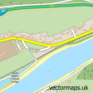
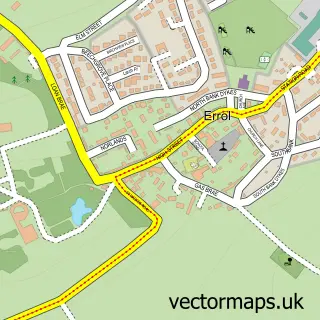
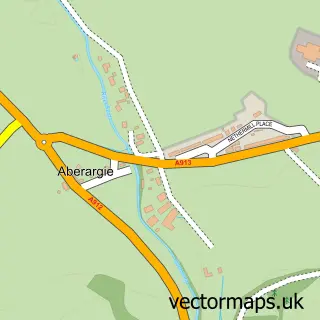
More street maps in Perth and Kinross

Street map sample of Glencarse, Perth and Kinross Glencarse Village - 0.3 miles Street map sample of Cottown, Perth and Kinross Cottown Village - 0.7 miles Street map sample of Abernethy, Perth and Kinross Abernethy Village - 2.9 miles Street map sample of Kilspindie, Perth and Kinross Kilspindie Village - 3.3 miles Street map sample of West Kinfauns, Perth and Kinross West Kinfauns Village - 3.5 miles

750 metre map area coverage

Boundary, postcode and point of interest information for the 750m x 750m rectangle centred on this sample map.

Boundaries containing map centre

Constituency: Perth and Kinross-shire Co Const

District: Perth and Kinross

Icb: Tayside

Postcode District: PH2

Postcode Sector: PH2 7

Ward: Carse of Gowrie Ward

Nearby boundaries intersecting sample

No additional intersecting boundaries found.

Postcode coverage

PH2 PH2 7

POI category counts

Community Center: 2

Professional Services: 2

Atms: 1

Automotive Repair: 1

Beauty Salon: 1

Bed And Breakfast: 1

Building Contractor: 1

Building Supply Store: 1

Catholic Church: 1

Coffee Shop: 1

Sample points of interest

  • St Madoes Store, St. Madoes Atms
  • Express Valetors LLP Automotive Repair
  • Velvet Rose Beauty & Spa Beauty Salon
  • Suvenco Properties Bed And Breakfast
  • Tay Property Services Building Contractor
  • D a Window Cleaning Building Supply Store
  • St Madoes & Kinfauns Catholic Church
  • Café Connect at The Madoch Centre Coffee Shop
  • Maddoch Centre Community Center
  • Madoch Centre Community Center
  • GS Brown Construction Construction Services
  • Evri ParcelShop Courier And Delivery Services

Create a larger editable map of St Madoes

This sample shows only a 750 metre area. To create a larger map of St Madoes, use our map builder to choose your own coverage area, add titles and download editable SVG, PDF and PNG files.

Create a custom map of St Madoes

Phone 01751 473136 | Copyright Vectormaps.uk 2026

Samples Customizer Privacy Disclaimer
St Madoes Vector Street Map
St Madoes enlarged street map sample showing a 750 metre preview area