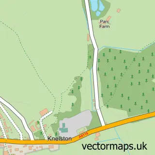
This Reynoldston street map is a detailed vector street map covering a 750m x 750m area. Select a larger area to create and download your own vector street map of Reynoldston.
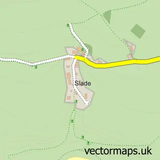
The 750-metre map sample for Reynoldston covers 133 mapped buildings and approximately 13.1 km of road detail, of which 4 named roads are named. The immediate area includes 1 MOT station within 2 miles. The wider area around Reynoldston features 1 tourism point of interest, 2 hotels and 1 campsite within 2 miles. To create a larger or custom map of Reynoldston, the map builder lets you define your own coverage area and download editable SVG, PDF and PNG files.
Create a larger editable map of Reynoldston
Choose any area you need and generate a high-quality vector map instantly. Perfect for print, planning, design, business and personal use.

This Reynoldston street map in West Glamorgan is available as downloadable SVG, PDF and PNG map files, or as a printed map for planning, business, display, education, local information and design work. You can also create a larger custom map area using the map selector.
What this Reynoldston map sample shows
Reynoldston lies within Reynoldston Community parish, part of Gower ward in the Abertawe - Swansea local authority area. The postcode geography for this area includes the SA postcode area, the SA3 postcode district and the SA3 1 postcode sector. Residents fall under the Swansea Bay University Local Health Board for NHS services.
Local features near Reynoldston
Within 2 milesAmenities and services in and around Reynoldston.
Administrative and postcode information for Reynoldston
Reynoldston lies within Reynoldston Community parish, part of Gower ward in the Abertawe - Swansea local authority area. The postcode geography for this area includes the SA postcode area, the SA3 postcode district and the SA3 1 postcode sector. Residents fall under the Swansea Bay University Local Health Board for NHS services.
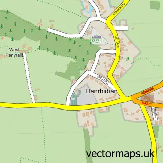
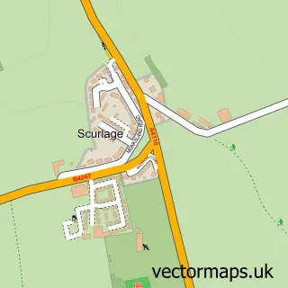
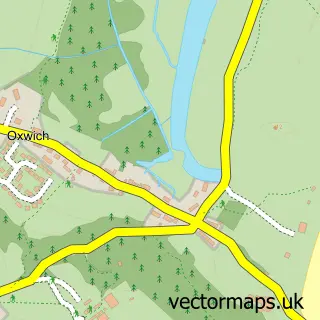
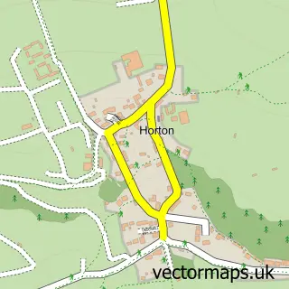
Nearby street map samples around Reynoldston

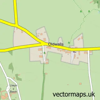
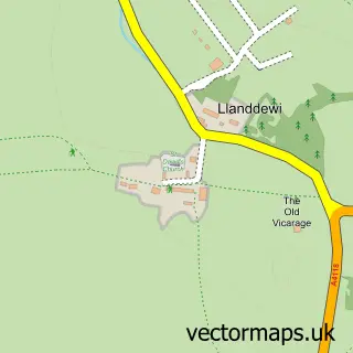
More street maps in West Glamorgan
750 metre map area coverage
Boundary, postcode and point of interest information for the 750m x 750m rectangle centred on this sample map.
Boundaries containing map centre
Constituency: Gower Co Const
District: Abertawe - Swansea
Icb: Abertawe Bro Morgannwg University
Parish: Reynoldston Community
Police Force: south wales
Postcode District: SA3
Postcode Sector: SA3 1
Nearby boundaries intersecting sample
Parish: Llanrhidian Lower Community
Postcode coverage
POI category counts
Hotel: 2
Bakery: 1
Building Supply Store: 1
Church Cathedral: 1
Community Center: 1
Farm: 1
Funeral Services And Cemeteries: 1
Hiking Trail: 1
Landmark And Historical Building: 1
Scout Hall: 1
Sample points of interest
- Gower Cottage Brownies
- NASArchitects
- Reynoldston Methodist Chapel - Gower
- Reynoldston Village Hall Association
- Gower Show
- Gower Funeral Services
- Penrice Woods
- Gwyr
- King Arthur Hotel
- Gower (electoral ward)
- 3rd Gower
Create a larger editable map of Reynoldston
This sample shows only a 750 metre area. To create a larger map of Reynoldston, use our map builder to choose your own coverage area, add titles and download editable SVG, PDF and PNG files.
Create a custom map of Reynoldston