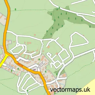
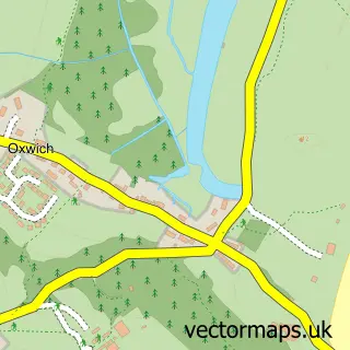
This Scurlage street map is a detailed vector street map covering a 750m x 750m area. Select a larger area to create and download your own vector street map of Scurlage.
The 750-metre map sample for Scurlage covers 89 mapped buildings and approximately 8.9 km of road detail, of which 3 named roads are named. The immediate area includes 1 MOT station within 2 miles. The wider area around Scurlage features 1 food and drink venue, 2 hotels and 3 campsites within 2 miles. To create a larger or custom map of Scurlage, the map builder lets you define your own coverage area and download editable SVG, PDF and PNG files.
Create a larger editable map of Scurlage
Choose any area you need and generate a high-quality vector map instantly. Perfect for print, planning, design, business and personal use.

This Scurlage street map in West Glamorgan is available as downloadable SVG, PDF and PNG map files, or as a printed map for planning, business, display, education, local information and design work. You can also create a larger custom map area using the map selector.
What this Scurlage map sample shows
Scurlage lies within Port Eynon Community parish, part of Gower ward in the Abertawe - Swansea local authority area. The postcode geography for this area includes the SA postcode area, the SA3 postcode district and the SA3 1 postcode sector. Residents fall under the Swansea Bay University Local Health Board for NHS services.
Local features near Scurlage
Within 2 milesAmenities and services in and around Scurlage.
Administrative and postcode information for Scurlage
The local authority covering Scurlage is Abertawe - Swansea, within the county of West Glamorgan. The settlement lies within Gower ward and Port Eynon Community civil parish. The SA3 postcode district and SA3 1 postcode sector serve the immediate area. NHS provision in the area is delivered through Swansea Bay University Health Board.
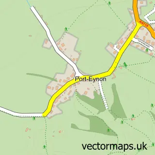
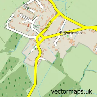
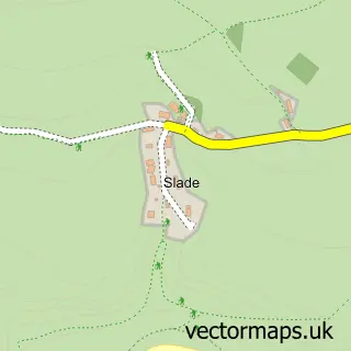
Nearby street map samples around Scurlage

More street maps in West Glamorgan
750 metre map area coverage
Boundary, postcode and point of interest information for the 750m x 750m rectangle centred on this sample map.
Boundaries containing map centre
Constituency: Gower Co Const
District: Abertawe - Swansea
Icb: Abertawe Bro Morgannwg University
Parish: Port Eynon Community
Police Force: south wales
Postcode District: SA3
Postcode Sector: SA3 1
Nearby boundaries intersecting sample
Parish: Penrice Community
Postcode coverage
POI category counts
Convenience Store: 2
Holiday Rental Home: 2
Sports Club And League: 2
Accommodation: 1
Beauty Product Supplier: 1
Bus Station: 1
Business: 1
Business Management Services: 1
Cottage: 1
Counseling And Mental Health: 1
Sample points of interest
- Scurlage, Gower
- Beachcombers
- Post Office-Scurlage
- E Evans & Son
- Robert Fisher Ltd.
- Premier
- The Village Shop
- Gower Holiday Village
- Salt & Light Retreat
- Gower Medical Practice
- Gower Pick Your Own
- Gower Farmer's Market
Create a larger editable map of Scurlage
This sample shows only a 750 metre area. To create a larger map of Scurlage, use our map builder to choose your own coverage area, add titles and download editable SVG, PDF and PNG files.
Create a custom map of Scurlage