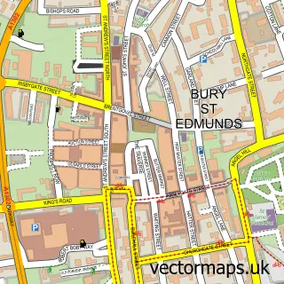
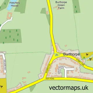
This Risby street map is a detailed vector street map covering a 750m x 750m area. Select a larger area to create and download your own vector street map of Risby.
The 750-metre map sample for Risby covers 195 mapped buildings and approximately 11.4 km of road detail, of which 11 named roads are named. The immediate area includes 1 school, 1 pub and 1 MOT station within 2 miles. The wider area around Risby features 2 food and drink venues. To create a larger or custom map of Risby, the map builder lets you define your own coverage area and download editable SVG, PDF and PNG files.
Create a larger editable map of Risby
Choose any area you need and generate a high-quality vector map instantly. Perfect for print, planning, design, business and personal use.

This Risby street map in Suffolk is available as downloadable SVG, PDF and PNG map files, or as a printed map for planning, business, display, education, local information and design work. You can also create a larger custom map area using the map selector.
What this Risby map sample shows
Risby lies within Risby Cp parish, part of Risby ward in the West Suffolk District local authority area. The postcode geography for this area includes the IP postcode area, the IP28 postcode district and the IP28 6 postcode sector. Residents fall under the Nhs Suffolk And North East Essex Integrated Care Board for NHS services.
Local features near Risby
Within 2 milesAmenities and services in and around Risby.
Administrative and postcode information for Risby
The local authority covering Risby is West Suffolk District, within the county of Suffolk. The settlement lies within Risby ward and Risby Cp civil parish. The IP28 postcode district and IP28 6 postcode sector serve the immediate area. NHS provision in the area is delivered through West Suffolk Nhs Foundation Trust.
Nearby street map samples around Risby

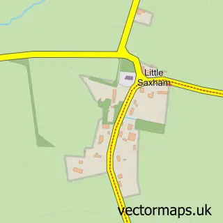
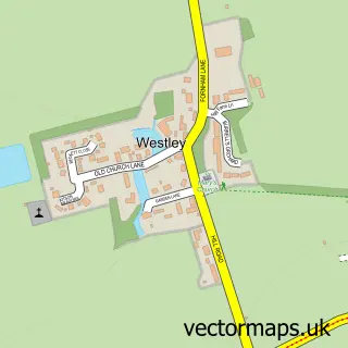
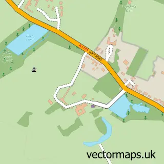
More street maps in Suffolk
750 metre map area coverage
Boundary, postcode and point of interest information for the 750m x 750m rectangle centred on this sample map.
Boundaries containing map centre
Constituency: West Suffolk Co Const
County: Suffolk County
District: West Suffolk District
Icb: NHS Essex ICB
Parish: Risby CP
Police Force: suffolk
Postcode District: IP28
Postcode Sector: IP28 6
Ward: Risby Ward
Nearby boundaries intersecting sample
No additional intersecting boundaries found.
Postcode coverage
POI category counts
Antique Store: 4
Education: 3
Adult Education: 2
Caterer: 2
Cleaning Products Supplier: 2
Contractor: 2
Fabric Store: 2
Pet Services: 2
Audiovisual Equipment Rental: 1
Bicycle Shop: 1
Sample points of interest
- Fitzroy Support
- Lethrede
- Past & Present
- Past & Present
- Risby Barn Antique Centre
- Suffolk Antiques at Risby Barn
- KMS Scaffolding
- Revel Outdoors
- Gorilla Tree Services
- Lizzy's Hog Roasts
- Poppydale Foods
- Maclin Group
Create a larger editable map of Risby
This sample shows only a 750 metre area. To create a larger map of Risby, use our map builder to choose your own coverage area, add titles and download editable SVG, PDF and PNG files.
Create a custom map of Risby