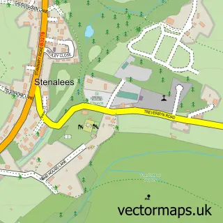
This Roche street map is a detailed vector street map covering a 750m x 750m area. Select a larger area to create and download your own vector street map of Roche.
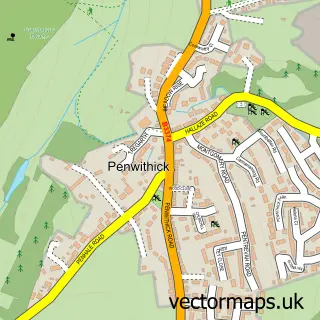
The 750-metre map sample for Roche covers 481 mapped buildings and approximately 13.9 km of road detail, of which 30 named roads are named. The immediate area includes 1 school, 1 GP surgery, 1 pub and 3 MOT stations within 2 miles. The wider area around Roche features 2 food and drink venues. To create a larger or custom map of Roche, the map builder lets you define your own coverage area and download editable SVG, PDF and PNG files.
Create a larger editable map of Roche
Choose any area you need and generate a high-quality vector map instantly. Perfect for print, planning, design, business and personal use.

This Roche street map in Cornwall is available as downloadable SVG, PDF and PNG map files, or as a printed map for planning, business, display, education, local information and design work. You can also create a larger custom map area using the map selector.
What this Roche map sample shows
Roche lies within Roche Cp parish, part of Roche ward in the Cornwall local authority area. The postcode geography for this area includes the PL postcode area, the PL26 postcode district and the PL26 8 postcode sector. Residents fall under the Nhs Cornwall And The Isles Of Scilly Integrated Care Board for NHS services.
Local features near Roche
Within 2 milesAmenities and services in and around Roche.
Administrative and postcode information for Roche
Roche lies within Roche Cp parish, part of Roche ward in the Cornwall local authority area. The postcode geography for this area includes the PL postcode area, the PL26 postcode district and the PL26 8 postcode sector. Residents fall under the Nhs Cornwall And The Isles Of Scilly Integrated Care Board for NHS services.
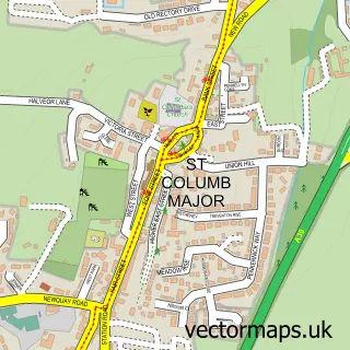
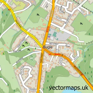
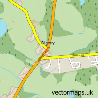
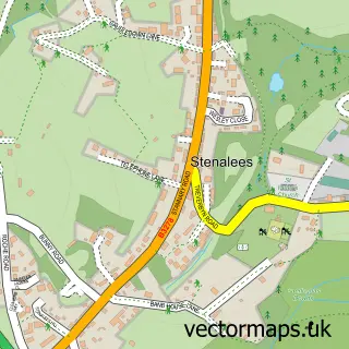
Nearby street map samples around Roche

More street maps in Cornwall
750 metre map area coverage
Boundary, postcode and point of interest information for the 750m x 750m rectangle centred on this sample map.
Boundaries containing map centre
Constituency: St. Austell and Newquay Co Const
District: Cornwall
Icb: NHS Cornwall and the Isles of Scilly ICB
Parish: Roche CP
Police Force: devon and cornwall
Postcode District: PL26
Postcode Sector: PL26 8
Nearby boundaries intersecting sample
No additional intersecting boundaries found.
Postcode coverage
POI category counts
Professional Services: 4
Contractor: 3
Beauty Salon: 2
Doctor: 2
Shipping Center: 2
Assisted Living Facility: 1
Atms: 1
Bed And Breakfast: 1
Building Supply Store: 1
Business Management Services: 1
Sample points of interest
- The Hollies
- The Cooperative Food (BF) Roche (ERF), Roche
- Fresh Salon
- Princess Glam & Locks
- Carbis wharf accommodation
- Keith Clemes Line Marking Services
- Acute Graphics
- Haven Perran Sands Caravan rent direct
- Liam Slaymaker Carpentry
- Cornwall Air Ambulance Trust
- Jade Palace
- Logical Cleaning Solutions
Create a larger editable map of Roche
This sample shows only a 750 metre area. To create a larger map of Roche, use our map builder to choose your own coverage area, add titles and download editable SVG, PDF and PNG files.
Create a custom map of Roche