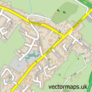
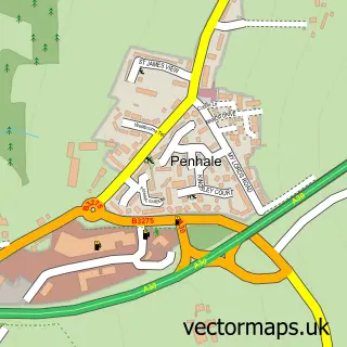
This St Columb Major street map is a detailed vector street map covering a 750m x 750m area. Select a larger area to create and download your own vector street map of St Columb Major.
The 750-metre map sample for St Columb Major covers 350 mapped buildings and approximately 15.9 km of road detail, of which 33 named roads are named. The immediate area includes 1 school, 1 GP surgery within 2 miles, 7 pubs and 2 MOT stations within 2 miles. The wider area around St Columb Major features 9 food and drink venues, 2 hotels and 3 campsites within 2 miles. To create a larger or custom map of St Columb Major, the map builder lets you define your own coverage area and download editable SVG, PDF and PNG files.
Create a larger editable map of St Columb Major
Choose any area you need and generate a high-quality vector map instantly. Perfect for print, planning, design, business and personal use.

This St Columb Major street map in Cornwall is available as downloadable SVG, PDF and PNG map files, or as a printed map for planning, business, display, education, local information and design work. You can also create a larger custom map area using the map selector.
What this St Columb Major map sample shows
St Columb Major lies within St. Columb Major Cp parish, part of St Columb Major ward in the Cornwall local authority area. The postcode geography for this area includes the TR postcode area, the TR9 postcode district and the TR9 6 postcode sector. Residents fall under the Nhs Cornwall And The Isles Of Scilly Integrated Care Board for NHS services.
Local features near St Columb Major
Within 2 milesAmenities and services in and around St Columb Major.
Administrative and postcode information for St Columb Major
The local authority covering St Columb Major is Cornwall, within the county of Cornwall. The settlement lies within St Columb Major ward and St. Columb Major Cp civil parish. The TR9 postcode district and TR9 6 postcode sector serve the immediate area. NHS provision in the area is delivered through Royal Cornwall Hospitals Nhs Trust.
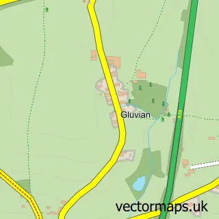
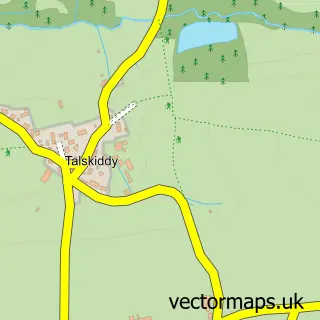
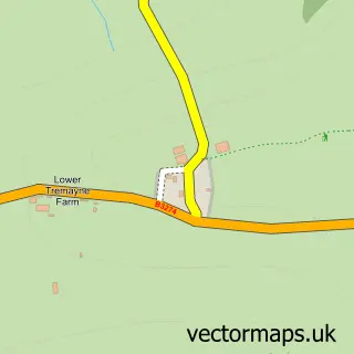
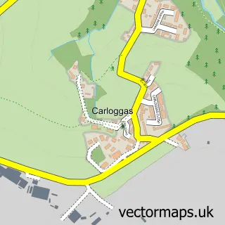
Nearby street map samples around St Columb Major

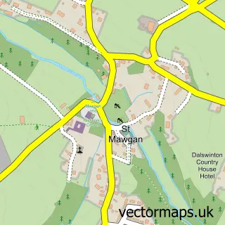
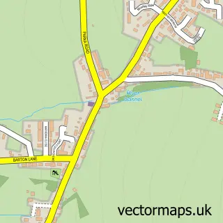
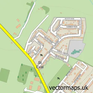
More street maps in Cornwall
750 metre map area coverage
Boundary, postcode and point of interest information for the 750m x 750m rectangle centred on this sample map.
Boundaries containing map centre
Constituency: North Cornwall Co Const
District: Cornwall
Icb: NHS Cornwall and the Isles of Scilly ICB
Parish: St. Columb Major CP
Police Force: devon and cornwall
Postcode District: TR9
Postcode Sector: TR9 6
Nearby boundaries intersecting sample
No additional intersecting boundaries found.
Postcode coverage
POI category counts
Pub: 7
Flowers And Gifts Shop: 4
Beauty And Spa: 3
Beauty Salon: 3
Real Estate Agent: 3
Arts And Entertainment: 2
Building Supply Store: 2
Cafe: 2
Clothing Store: 2
Funeral Services And Cemeteries: 2
Sample points of interest
- David Jeffery & Co.
- St Columb Church
- The Hum from the Hill
- Squance Manor
- St. Columb Major
- The Cooperative Food (BF) St Columb Major - Fore Street (ERF), Market Place
- The Butchers Bakehouse
- Lloyds Bank
- Barclays Bank
- Barber Shop
- Porthcothan Beach
- Katie Cogdale Beauty
Create a larger editable map of St Columb Major
This sample shows only a 750 metre area. To create a larger map of St Columb Major, use our map builder to choose your own coverage area, add titles and download editable SVG, PDF and PNG files.
Create a custom map of St Columb Major