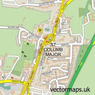
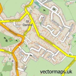
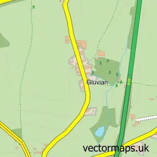
This Fraddon street map is a detailed vector street map covering a 750m x 750m area. Select a larger area to create and download your own vector street map of Fraddon.
The 750-metre map sample for Fraddon covers 205 mapped buildings and approximately 9.9 km of road detail, of which 9 named roads are named. The immediate area includes 2 pubs and 3 MOT stations within 2 miles. The wider area around Fraddon features 1 tourism point of interest, 2 food and drink venues and 2 campsites within 2 miles. To create a larger or custom map of Fraddon, the map builder lets you define your own coverage area and download editable SVG, PDF and PNG files.
Create a larger editable map of Fraddon
Choose any area you need and generate a high-quality vector map instantly. Perfect for print, planning, design, business and personal use.

This Fraddon street map in Cornwall is available as downloadable SVG, PDF and PNG map files, or as a printed map for planning, business, display, education, local information and design work. You can also create a larger custom map area using the map selector.
What this Fraddon map sample shows
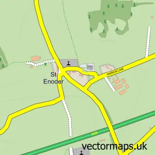
Fraddon lies within St. Enoder Cp parish, part of St Enoder ward in the Cornwall local authority area. The postcode geography for this area includes the TR postcode area, the TR9 postcode district and the TR9 6 postcode sector. Residents fall under the Nhs Cornwall And The Isles Of Scilly Integrated Care Board for NHS services.
Local features near Fraddon
Within 2 milesAmenities and services in and around Fraddon.
Administrative and postcode information for Fraddon
Fraddon lies within St. Enoder Cp parish, part of St Enoder ward in the Cornwall local authority area. The postcode geography for this area includes the TR postcode area, the TR9 postcode district and the TR9 6 postcode sector. Residents fall under the Nhs Cornwall And The Isles Of Scilly Integrated Care Board for NHS services.
Nearby street map samples around Fraddon

More street maps in Cornwall
750 metre map area coverage
Boundary, postcode and point of interest information for the 750m x 750m rectangle centred on this sample map.
Boundaries containing map centre
Constituency: St. Austell and Newquay Co Const
District: Cornwall
Icb: NHS Cornwall and the Isles of Scilly ICB
Parish: St. Enoder CP
Police Force: devon and cornwall
Postcode District: TR9
Postcode Sector: TR9 6
Nearby boundaries intersecting sample
No additional intersecting boundaries found.
Postcode coverage
POI category counts
Building Supply Store: 2
Pub: 2
Arts And Crafts: 1
Caterer: 1
Cleaning Services: 1
Driving School: 1
Garbage Collection Service: 1
Hair Salon: 1
Home Service: 1
Park: 1
Sample points of interest
- Fraddon Pottery
- Good Fortune Roofing
- Prostyle Wetrooms
- ValentinasPlatters
- The Little Cornish Cleaning Company
- Peter Dowd School of Motoring
- South West Junk Removal
- The Colour Box Hair Design
- Rookery Nook Childminding
- Millennium Green Park
- Fraddon Post Office
- Blue Anchor Inn
Create a larger editable map of Fraddon
This sample shows only a 750 metre area. To create a larger map of Fraddon, use our map builder to choose your own coverage area, add titles and download editable SVG, PDF and PNG files.
Create a custom map of Fraddon