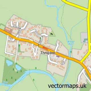
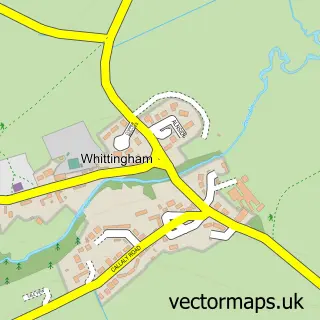
This Rothbury street map is a detailed vector street map covering a 750m x 750m area. Select a larger area to create and download your own vector street map of Rothbury.
The 750-metre map sample for Rothbury covers 139 mapped buildings and approximately 14.1 km of road detail, of which 25 named roads are named. The immediate area includes 1 school, 1 GP surgery, 5 pubs and 1 MOT station, with 3 within 2 miles. The wider area around Rothbury features 5 tourism points of interest, 7 food and drink venues and 6 hotels. To create a larger or custom map of Rothbury, the map builder lets you define your own coverage area and download editable SVG, PDF and PNG files.
Create a larger editable map of Rothbury
Choose any area you need and generate a high-quality vector map instantly. Perfect for print, planning, design, business and personal use.

This Rothbury street map in Northumberland is available as downloadable SVG, PDF and PNG map files, or as a printed map for planning, business, display, education, local information and design work. You can also create a larger custom map area using the map selector.
What this Rothbury map sample shows
Rothbury lies within Rothbury Cp parish, part of Rothbury ward in the Northumberland local authority area. The postcode geography for this area includes the NE postcode area, the NE65 postcode district and the NE65 7 postcode sector. Residents fall under the Nhs North East And North Cumbria Integrated Care Board for NHS services.
Local features near Rothbury
Within 2 milesAmenities and services in and around Rothbury.
Administrative and postcode information for Rothbury
Rothbury lies within Rothbury Cp parish, part of Rothbury ward in the Northumberland local authority area. The postcode geography for this area includes the NE postcode area, the NE65 postcode district and the NE65 7 postcode sector. Residents fall under the Nhs North East And North Cumbria Integrated Care Board for NHS services.
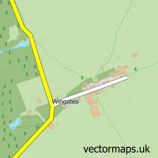
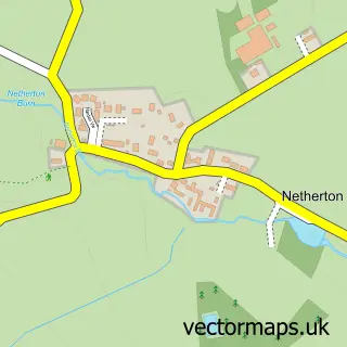
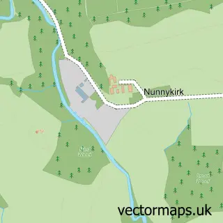
Nearby street map samples around Rothbury

More street maps in Northumberland
750 metre map area coverage
Boundary, postcode and point of interest information for the 750m x 750m rectangle centred on this sample map.
Boundaries containing map centre
Constituency: North Northumberland Co Const
District: Northumberland
Icb: NHS North East and North Cumbria ICB
Parish: Rothbury CP
Police Force: northumberland
Postcode District: NE65
Postcode Sector: NE65 7
Nearby boundaries intersecting sample
Parish: Whitton and Tosson CP
Postcode coverage
POI category counts
Hotel: 6
Professional Services: 6
Bed And Breakfast: 5
Pub: 5
Art Gallery: 4
Arts And Crafts: 4
Automotive Repair: 3
Convenience Store: 3
Funeral Services And Cemeteries: 3
Bakery: 2
Sample points of interest
- R & D M Edmondson Ltd t/a Newtown Engineering Co
- Rothbury: All Saints
- RSPCA
- Coquetdale Arts Centre
- Crown Studio Gallery Rothbury
- The Congregational Gallery and Cafe
- The Coquetdale Arts Centre
- Elements Rothbury
- Potted History
- Rainbow Yarns
- Rothbury Makers Market
- Walby Hill Adult Care Home
Create a larger editable map of Rothbury
This sample shows only a 750 metre area. To create a larger map of Rothbury, use our map builder to choose your own coverage area, add titles and download editable SVG, PDF and PNG files.
Create a custom map of Rothbury