This Thropton street map is a detailed vector street map covering a 750m x 750m area. Select a larger area to create and download your own vector street map of Thropton.
The 750-metre map sample for Thropton covers 78 mapped buildings and approximately 12.3 km of road detail, of which 10 named roads are named. The immediate area includes 1 school, 1 GP surgery within 2 miles, 1 pub and 1 MOT station, with 2 within 2 miles. The wider area around Thropton features 1 tourism point of interest, 1 food and drink venue and 1 hotel. To create a larger or custom map of Thropton, the map builder lets you define your own coverage area and download editable SVG, PDF and PNG files.
Create a larger editable map of Thropton
Choose any area you need and generate a high-quality vector map instantly. Perfect for print, planning, design, business and personal use.

This Thropton street map in Northumberland is available as downloadable SVG, PDF and PNG map files, or as a printed map for planning, business, display, education, local information and design work. You can also create a larger custom map area using the map selector.
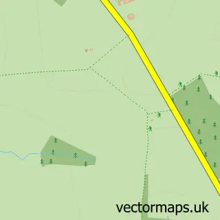
What this Thropton map sample shows
Thropton lies within Thropton Cp parish, part of Rothbury ward in the Northumberland local authority area. The postcode geography for this area includes the NE postcode area, the NE65 postcode district and the NE65 7 postcode sector. Residents fall under the Nhs North East And North Cumbria Integrated Care Board for NHS services.
Local features near Thropton
Within 2 milesAmenities and services in and around Thropton.
Administrative and postcode information for Thropton
The local authority covering Thropton is Northumberland, within the county of Northumberland. The settlement lies within Rothbury ward and Thropton Cp civil parish. The NE65 postcode district and NE65 7 postcode sector serve the immediate area. NHS provision in the area is delivered through Northumbria Healthcare Nhs Foundation Trust.
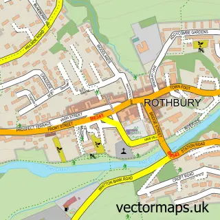
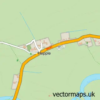
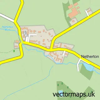
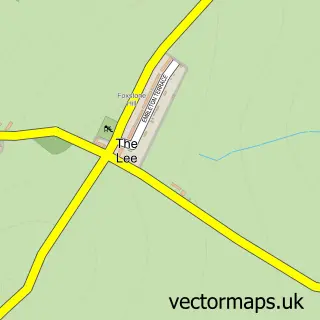
Nearby street map samples around Thropton

More street maps in Northumberland
750 metre map area coverage
Boundary, postcode and point of interest information for the 750m x 750m rectangle centred on this sample map.
Boundaries containing map centre
Constituency: North Northumberland Co Const
District: Northumberland
Icb: NHS North East and North Cumbria ICB
Parish: Thropton CP
Police Force: northumberland
Postcode District: NE65
Postcode Sector: NE65 7
Nearby boundaries intersecting sample
Parish: Snitter CP, Whitton and Tosson CP
Postcode coverage
POI category counts
Music Production: 2
Music Venue: 2
Post Office: 2
Automotive Repair: 1
Bed And Breakfast: 1
Convenience Store: 1
Fitness Trainer: 1
Gas Station: 1
Hotel: 1
Inn: 1
Sample points of interest
- Northern 4x4 Centre
- Thropton Demesne Farmhouse B&B
- SPAR Thropton
- JWG Coaches
- Shell
- Farm Cottage Guest House
- The Three Wheat Heads Inn
- Simpson Street Studios
- The Old Church Studio
- Cheviot Folk Club
- The Coquetdale Music Trust
- Northumberland National Park
Create a larger editable map of Thropton
This sample shows only a 750 metre area. To create a larger map of Thropton, use our map builder to choose your own coverage area, add titles and download editable SVG, PDF and PNG files.
Create a custom map of Thropton