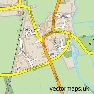
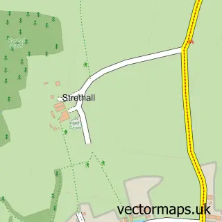
This Saffron Walden street map is a detailed vector street map covering a 750m x 750m area. Select a larger area to create and download your own vector street map of Saffron Walden.
The 750-metre map sample for Saffron Walden covers 485 mapped buildings and approximately 19.1 km of road detail, of which 59 named roads are named. The immediate area includes 3 schools, 1 GP surgery, with 2 within 2 miles, 7 pubs and 2 MOT stations, with 5 within 2 miles. The wider area around Saffron Walden features 5 tourism points of interest, 33 food and drink venues and 6 hotels. To create a larger or custom map of Saffron Walden, the map builder lets you define your own coverage area and download editable SVG, PDF and PNG files.
Create a larger editable map of Saffron Walden
Choose any area you need and generate a high-quality vector map instantly. Perfect for print, planning, design, business and personal use.

This Saffron Walden street map in Essex is available as downloadable SVG, PDF and PNG map files, or as a printed map for planning, business, display, education, local information and design work. You can also create a larger custom map area using the map selector.
What this Saffron Walden map sample shows
Saffron Walden lies within Saffron Walden Cp parish, part of Saffron Walden Audley ward in the Uttlesford District local authority area. The postcode geography for this area includes the CB postcode area, the CB11 postcode district and the CB11 3 postcode sector. Residents fall under the Nhs Hertfordshire And West Essex Integrated Care Board for NHS services.
Local features near Saffron Walden
Within 2 milesAmenities and services in and around Saffron Walden.
Administrative and postcode information for Saffron Walden
Saffron Walden lies within Saffron Walden Cp parish, part of Saffron Walden Audley ward in the Uttlesford District local authority area. The postcode geography for this area includes the CB postcode area, the CB11 postcode district and the CB11 3 postcode sector. Residents fall under the Nhs Hertfordshire And West Essex Integrated Care Board for NHS services.
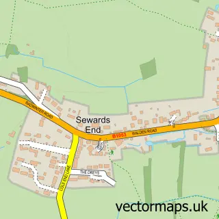
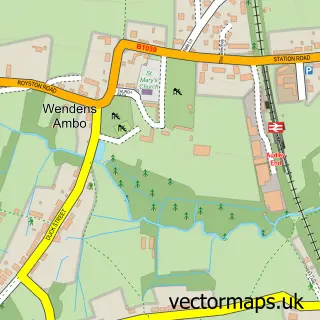
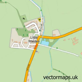
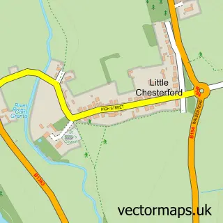
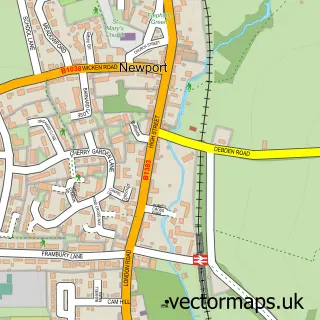
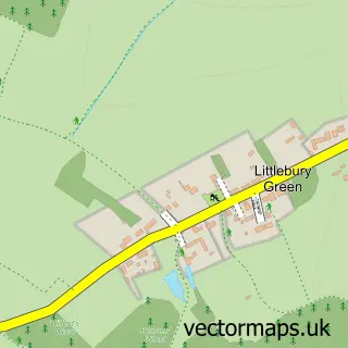
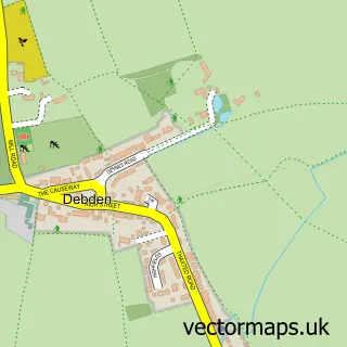
Nearby street map samples around Saffron Walden

More street maps in Essex
750 metre map area coverage
Boundary, postcode and point of interest information for the 750m x 750m rectangle centred on this sample map.
Boundaries containing map centre
Constituency: North West Essex Co Const
County: Essex County
District: Uttlesford District
Icb: NHS Central East ICB
Parish: Saffron Walden CP
Police Force: essex
Postcode District: CB10
Postcode Sector: CB10 1
Ward: Saffron Walden Audley Ward
Nearby boundaries intersecting sample
Postcode District: CB11
Postcode Sector: CB10 2, CB11 3, CB11 4
Ward: Saffron Walden Castle Ward, Saffron Walden Shire Ward
Postcode coverage
POI category counts
Clothing Store: 17
Hair Salon: 17
Professional Services: 13
Beauty Salon: 11
Cafe: 11
Furniture Store: 10
Dentist: 9
Real Estate Agent: 9
Bank Credit Union: 8
Coffee Shop: 8
Sample points of interest
- Benten & Co.
- Shipleys
- TaxAssist Accountants
- Adible
- Clare Webber Book & Graphic Design
- Gardner Quainton
- Gq Design Property Marketing
- Pressential
- Rifle Design & Communications
- Ceres Rural
- Cole's Puddings Ltd.
- Ip Hypnotherapy Services
Create a larger editable map of Saffron Walden
This sample shows only a 750 metre area. To create a larger map of Saffron Walden, use our map builder to choose your own coverage area, add titles and download editable SVG, PDF and PNG files.
Create a custom map of Saffron Walden