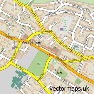
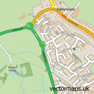
This Sandiway street map is a detailed vector street map covering a 750m x 750m area. Select a larger area to create and download your own vector street map of Sandiway.
The 750-metre map sample for Sandiway covers 488 mapped buildings and approximately 18.0 km of road detail, of which 31 named roads are named. The immediate area includes 1 pub and 2 MOT stations within 2 miles. The wider area around Sandiway features 1 tourism point of interest, 3 food and drink venues and 1 hotel. To create a larger or custom map of Sandiway, the map builder lets you define your own coverage area and download editable SVG, PDF and PNG files.
Create a larger editable map of Sandiway
Choose any area you need and generate a high-quality vector map instantly. Perfect for print, planning, design, business and personal use.

This Sandiway street map in Cheshire is available as downloadable SVG, PDF and PNG map files, or as a printed map for planning, business, display, education, local information and design work. You can also create a larger custom map area using the map selector.
What this Sandiway map sample shows
Sandiway lies within Cuddington Cp parish, part of Weaver & Cuddington ward in the Cheshire West And Chester (B) local authority area. The postcode geography for this area includes the CW postcode area, the CW8 postcode district and the CW8 2 postcode sector. Residents fall under the Nhs Cheshire And Merseyside Integrated Care Board for NHS services.
Local features near Sandiway
Within 2 milesAmenities and services in and around Sandiway.
Administrative and postcode information for Sandiway
Sandiway lies within Cuddington Cp parish, part of Weaver & Cuddington ward in the Cheshire West And Chester (B) local authority area. The postcode geography for this area includes the CW postcode area, the CW8 postcode district and the CW8 2 postcode sector. Residents fall under the Nhs Cheshire And Merseyside Integrated Care Board for NHS services.
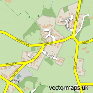
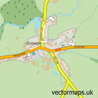
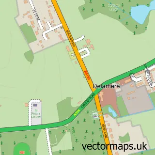
Nearby street map samples around Sandiway
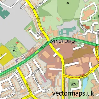

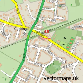
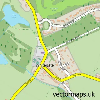
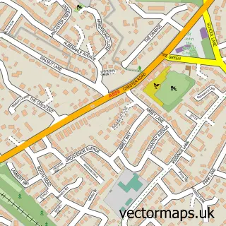
More street maps in Cheshire
750 metre map area coverage
Boundary, postcode and point of interest information for the 750m x 750m rectangle centred on this sample map.
Boundaries containing map centre
Constituency: Chester South and Eddisbury Co Const
District: Cheshire West and Chester (B)
Icb: NHS Cheshire and Merseyside ICB
Parish: Cuddington CP
Police Force: cheshire
Postcode District: CW8
Postcode Sector: CW8 2
Ward: Weaver & Cuddington Ward
Nearby boundaries intersecting sample
No additional intersecting boundaries found.
Postcode coverage
POI category counts
Convenience Store: 3
Dentist: 3
Atms: 2
Building Supply Store: 2
Business Consulting: 2
Chinese Restaurant: 2
Church Cathedral: 2
Doctor: 2
Hair Salon: 2
Retirement Home: 2
Sample points of interest
- Frazer Norris Accounting Ltd.
- St John's Sandiway
- Shell Sandiway, Sandiway,
- Spar Sandiway (Link DC), Sandiway
- The Shine Machine
- Ravenol UK
- Advanced Appliance Care
- Advanced Air Hygiene
- Amazing Gardens And Landscape
- PMEE Associates
- Two Eye
- Littlers Butchers
Create a larger editable map of Sandiway
This sample shows only a 750 metre area. To create a larger map of Sandiway, use our map builder to choose your own coverage area, add titles and download editable SVG, PDF and PNG files.
Create a custom map of Sandiway