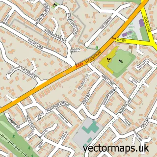
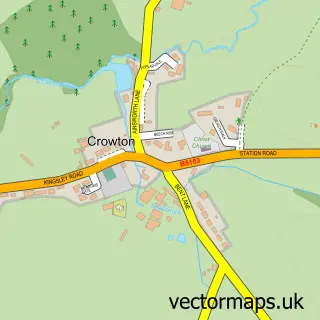
This Weaverham street map is a detailed vector street map covering a 750m x 750m area. Select a larger area to create and download your own vector street map of Weaverham.
The 750-metre map sample for Weaverham covers 511 mapped buildings and approximately 20.3 km of road detail, of which 47 named roads are named. The immediate area includes 1 primary school and 1 secondary school, 1 GP surgery, with 3 within 2 miles, 4 pubs and 4 MOT stations within 2 miles. The wider area around Weaverham features 1 tourism point of interest and 8 food and drink venues. To create a larger or custom map of Weaverham, the map builder lets you define your own coverage area and download editable SVG, PDF and PNG files.
Create a larger editable map of Weaverham
Choose any area you need and generate a high-quality vector map instantly. Perfect for print, planning, design, business and personal use.

This Weaverham street map in Cheshire is available as downloadable SVG, PDF and PNG map files, or as a printed map for planning, business, display, education, local information and design work. You can also create a larger custom map area using the map selector.
What this Weaverham map sample shows
Weaverham lies within Weaverham Cp parish, part of Weaver & Cuddington ward in the Cheshire West And Chester (B) local authority area. The postcode geography for this area includes the CW postcode area, the CW8 postcode district and the CW8 3 postcode sector. Residents fall under the Nhs Cheshire And Merseyside Integrated Care Board for NHS services.
Local features near Weaverham
Within 2 milesAmenities and services in and around Weaverham.
Administrative and postcode information for Weaverham
Weaverham lies within Weaverham Cp parish, part of Weaver & Cuddington ward in the Cheshire West And Chester (B) local authority area. The postcode geography for this area includes the CW postcode area, the CW8 postcode district and the CW8 3 postcode sector. Residents fall under the Nhs Cheshire And Merseyside Integrated Care Board for NHS services.
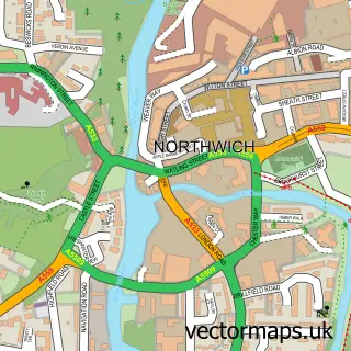
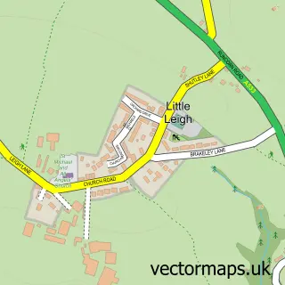
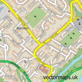
Nearby street map samples around Weaverham

More street maps in Cheshire
750 metre map area coverage
Boundary, postcode and point of interest information for the 750m x 750m rectangle centred on this sample map.
Boundaries containing map centre
Constituency: Chester South and Eddisbury Co Const
District: Cheshire West and Chester (B)
Icb: NHS Cheshire and Merseyside ICB
Parish: Weaverham CP
Police Force: cheshire
Postcode District: CW8
Postcode Sector: CW8 3
Ward: Weaver & Cuddington Ward
Nearby boundaries intersecting sample
Postcode Sector: CW8 2
Postcode coverage
POI category counts
Beauty Salon: 5
Church Cathedral: 5
Gas Station: 5
Barber: 4
Pub: 4
Advertising Agency: 3
Dentist: 3
Restaurant: 3
Atms: 2
Bakery: 2
Sample points of interest
- Fineswim LTD - Weaverham
- Arcadia Design and Development UK
- Counterpoint Promotions
- Expose Collective
- Embryonics
- Initiatives Design
- CLS Care Services Group
- ESSO Weaver (Rontec - CZC)
- The Cooperative Food (BF) Weaverham (ERF), Weaverham
- Devonshire Bakery
- Hampsons
- Haro barbers
Create a larger editable map of Weaverham
This sample shows only a 750 metre area. To create a larger map of Weaverham, use our map builder to choose your own coverage area, add titles and download editable SVG, PDF and PNG files.
Create a custom map of Weaverham