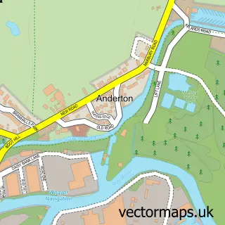
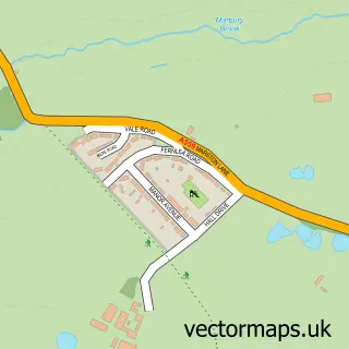
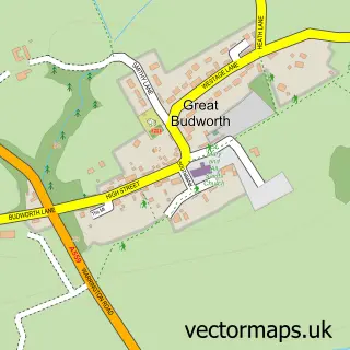
This Northwich street map is a detailed vector street map covering a 750m x 750m area. Select a larger area to create and download your own vector street map of Northwich.
The 750-metre map sample for Northwich covers 254 mapped buildings and approximately 18.9 km of road detail, of which 41 named roads are named. The immediate area includes 2 GP surgeries, with 6 within 2 miles, 6 pubs and 1 MOT station, with 23 within 2 miles. The wider area around Northwich features 3 tourism points of interest and 32 food and drink venues. To create a larger or custom map of Northwich, the map builder lets you define your own coverage area and download editable SVG, PDF and PNG files.
Create a larger editable map of Northwich
Choose any area you need and generate a high-quality vector map instantly. Perfect for print, planning, design, business and personal use.

This Northwich street map in Cheshire is available as downloadable SVG, PDF and PNG map files, or as a printed map for planning, business, display, education, local information and design work. You can also create a larger custom map area using the map selector.
What this Northwich map sample shows
Northwich lies within Northwich Cp parish, part of Northwich Witton ward in the Cheshire West And Chester (B) local authority area. The postcode geography for this area includes the CW postcode area, the CW9 postcode district and the CW9 5 postcode sector. Residents fall under the Nhs Cheshire And Merseyside Integrated Care Board for NHS services.
Local features near Northwich
Within 2 milesAmenities and services in and around Northwich.
Administrative and postcode information for Northwich
The local authority covering Northwich is Cheshire West And Chester (B), within the county of Cheshire. The settlement lies within Northwich Witton ward and Northwich Cp civil parish. The CW9 postcode district and CW9 5 postcode sector serve the immediate area. NHS provision in the area is delivered through Mid Cheshire Hospitals Nhs Foundation Trust.
Nearby street map samples around Northwich

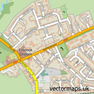
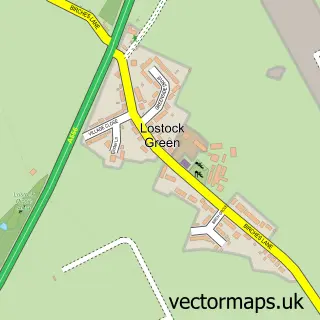
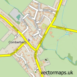
More street maps in Cheshire
750 metre map area coverage
Boundary, postcode and point of interest information for the 750m x 750m rectangle centred on this sample map.
Boundaries containing map centre
Constituency: Mid Cheshire Co Const
District: Cheshire West and Chester (B)
Icb: NHS Cheshire and Merseyside ICB
Parish: Northwich CP
Police Force: cheshire
Postcode District: CW9
Postcode Sector: CW9 5
Ward: Northwich Witton Ward
Nearby boundaries intersecting sample
Postcode District: CW8
Postcode Sector: CW8 1
Ward: Northwich Leftwich Ward, Northwich Winnington & Castle Ward
Postcode coverage
POI category counts
Real Estate Agent: 16
Beauty Salon: 12
Cafe: 12
Clothing Store: 11
Hair Salon: 11
Barber: 10
Mobile Phone Store: 10
Bank Credit Union: 9
Coffee Shop: 9
Retail: 9
Sample points of interest
- Bulcock & Co.
- Litke Wood & Co
- Murray Smith LLP
- Top Cat Accountancy Ltd
- British Medical Acupuncture Society
- Acrylic Digital
- Charger Graphics Limited
- Rouge Digital - Web Design & App Developer Cheshire
- Solutions 24-7
- Herbcures
- Age UK
- Barnardos Northwich
Create a larger editable map of Northwich
This sample shows only a 750 metre area. To create a larger map of Northwich, use our map builder to choose your own coverage area, add titles and download editable SVG, PDF and PNG files.
Create a custom map of Northwich