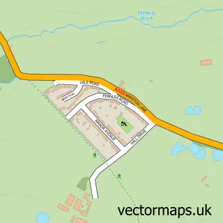
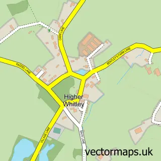
This Comberbach street map is a detailed vector street map covering a 750m x 750m area. Select a larger area to create and download your own vector street map of Comberbach.
The 750-metre map sample for Comberbach covers 294 mapped buildings and approximately 11.7 km of road detail, of which 19 named roads are named. The immediate area includes 1 school, 1 GP surgery within 2 miles, 2 pubs and 4 MOT stations within 2 miles. The wider area around Comberbach features 1 tourism point of interest, 2 food and drink venues and 1 campsite within 2 miles. To create a larger or custom map of Comberbach, the map builder lets you define your own coverage area and download editable SVG, PDF and PNG files.
Create a larger editable map of Comberbach
Choose any area you need and generate a high-quality vector map instantly. Perfect for print, planning, design, business and personal use.

This Comberbach street map in Cheshire is available as downloadable SVG, PDF and PNG map files, or as a printed map for planning, business, display, education, local information and design work. You can also create a larger custom map area using the map selector.
What this Comberbach map sample shows
Comberbach lies within Comberbach Cp parish, part of Marbury ward in the Cheshire West And Chester (B) local authority area. The postcode geography for this area includes the CW postcode area, the CW9 postcode district and the CW9 6 postcode sector. Residents fall under the Nhs Cheshire And Merseyside Integrated Care Board for NHS services.
Local features near Comberbach
Within 2 milesAmenities and services in and around Comberbach.
Administrative and postcode information for Comberbach
The local authority covering Comberbach is Cheshire West And Chester (B), within the county of Cheshire. The settlement lies within Marbury ward and Comberbach Cp civil parish. The CW9 postcode district and CW9 6 postcode sector serve the immediate area. NHS provision in the area is delivered through Mid Cheshire Hospitals Nhs Foundation Trust.
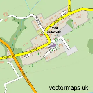
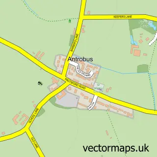
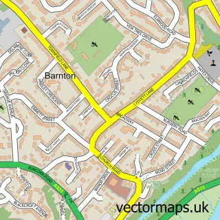
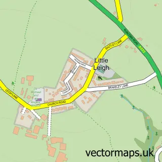
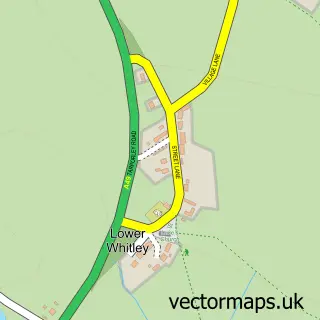
Nearby street map samples around Comberbach
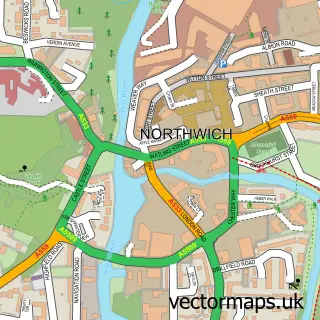

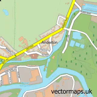
More street maps in Cheshire
750 metre map area coverage
Boundary, postcode and point of interest information for the 750m x 750m rectangle centred on this sample map.
Boundaries containing map centre
Constituency: Tatton Co Const
District: Cheshire West and Chester (B)
Icb: NHS Cheshire and Merseyside ICB
Parish: Comberbach CP
Police Force: cheshire
Postcode District: CW9
Postcode Sector: CW9 6
Ward: Marbury Ward
Nearby boundaries intersecting sample
Parish: Great Budworth CP
Postcode coverage
POI category counts
Active Life: 2
Beauty Salon: 2
Pub: 2
Accountant: 1
Automotive Repair: 1
Bar: 1
Church Cathedral: 1
Elementary School: 1
Event Planning: 1
Gymnastics Center: 1
Sample points of interest
- KC Bookkeeping Ltd.
- Comberbach War Memorial Hall
- IVY Lodge Farm - DIY Livery
- NT Mechanic
- Drum & Monkey
- Butterfly Rose Nails
- Lumi Skin and Laser
- Comberbach Methodist Church
- Comberbach Primary School
- Comberbach Memorial Hall
- Tumble Tots Northwich
- Topham Plail
Create a larger editable map of Comberbach
This sample shows only a 750 metre area. To create a larger map of Comberbach, use our map builder to choose your own coverage area, add titles and download editable SVG, PDF and PNG files.
Create a custom map of Comberbach