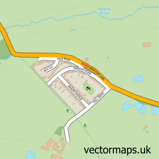
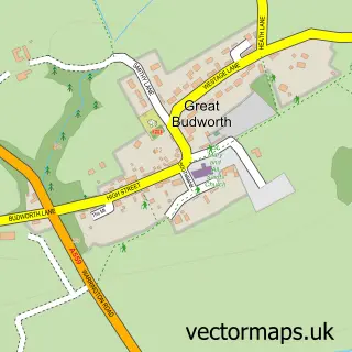
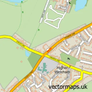
This Anderton street map is a detailed vector street map covering a 750m x 750m area. Select a larger area to create and download your own vector street map of Anderton.
The 750-metre map sample for Anderton covers 119 mapped buildings and approximately 8.4 km of road detail, of which 13 named roads are named. The immediate area includes 5 GP surgeries within 2 miles, 1 pub and 1 MOT station, with 21 within 2 miles. The wider area around Anderton features 2 tourism points of interest, 1 food and drink venue and 1 campsite within 2 miles. To create a larger or custom map of Anderton, the map builder lets you define your own coverage area and download editable SVG, PDF and PNG files.
Create a larger editable map of Anderton
Choose any area you need and generate a high-quality vector map instantly. Perfect for print, planning, design, business and personal use.

This Anderton street map in Cheshire is available as downloadable SVG, PDF and PNG map files, or as a printed map for planning, business, display, education, local information and design work. You can also create a larger custom map area using the map selector.
What this Anderton map sample shows
Anderton lies within Anderton With Marbury Cp parish, part of Marbury ward in the Cheshire West And Chester (B) local authority area. The postcode geography for this area includes the CW postcode area, the CW9 postcode district and the CW9 6 postcode sector. Residents fall under the Nhs Cheshire And Merseyside Integrated Care Board for NHS services.
Local features near Anderton
Within 2 milesAmenities and services in and around Anderton.
Administrative and postcode information for Anderton
Anderton lies within Anderton With Marbury Cp parish, part of Marbury ward in the Cheshire West And Chester (B) local authority area. The postcode geography for this area includes the CW postcode area, the CW9 postcode district and the CW9 6 postcode sector. Residents fall under the Nhs Cheshire And Merseyside Integrated Care Board for NHS services.
Nearby street map samples around Anderton
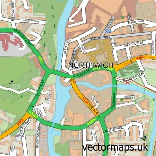

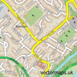
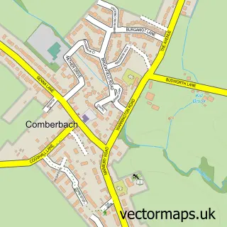
More street maps in Cheshire
750 metre map area coverage
Boundary, postcode and point of interest information for the 750m x 750m rectangle centred on this sample map.
Boundaries containing map centre
Constituency: Tatton Co Const
District: Cheshire West and Chester (B)
Icb: NHS Cheshire and Merseyside ICB
Parish: Anderton with Marbury CP
Police Force: cheshire
Postcode District: CW9
Postcode Sector: CW9 6
Ward: Marbury Ward
Nearby boundaries intersecting sample
Constituency: Mid Cheshire Co Const
Parish: Barnton CP, Northwich CP
Postcode District: CW8
Postcode Sector: CW8 4
Ward: Northwich Winnington & Castle Ward
Postcode coverage
POI category counts
Industrial Equipment: 3
Business Management Services: 2
Contractor: 2
Printing Services: 2
Appliance Repair Service: 1
Aquatic Pet Store: 1
Automotive Repair: 1
Automotive Services And Repair: 1
British Restaurant: 1
Business To Business: 1
Sample points of interest
- Range Cookers of Cheshire
- The Aquascaping Company
- Mr Autos
- Anderton MOT Centre
- The Moorings Restaurant
- ABC Boat Hire Anderton Marina
- Vital Signs
- Yoxall Joinery Ltd.
- Footart
- Anderton Memorial hall
- ID Glass & Glazing Ltd.
- Roger Moore
Create a larger editable map of Anderton
This sample shows only a 750 metre area. To create a larger map of Anderton, use our map builder to choose your own coverage area, add titles and download editable SVG, PDF and PNG files.
Create a custom map of Anderton