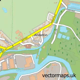
This Hartford street map is a detailed vector street map covering a 750m x 750m area. Select a larger area to create and download your own vector street map of Hartford.
The 750-metre map sample for Hartford covers 605 mapped buildings and approximately 18.5 km of road detail, of which 37 named roads are named. The immediate area includes 1 school, 5 GP surgeries within 2 miles, 3 pubs and 8 MOT stations within 2 miles. The wider area around Hartford features 2 tourism points of interest and 7 food and drink venues. To create a larger or custom map of Hartford, the map builder lets you define your own coverage area and download editable SVG, PDF and PNG files.
Create a larger editable map of Hartford
Choose any area you need and generate a high-quality vector map instantly. Perfect for print, planning, design, business and personal use.

This Hartford street map in Cheshire is available as downloadable SVG, PDF and PNG map files, or as a printed map for planning, business, display, education, local information and design work. You can also create a larger custom map area using the map selector.
What this Hartford map sample shows
Hartford lies within Hartford Cp parish, part of Hartford & Greenbank ward in the Cheshire West And Chester (B) local authority area. The postcode geography for this area includes the CW postcode area, the CW8 postcode district and the CW8 1 postcode sector. Residents fall under the Nhs Cheshire And Merseyside Integrated Care Board for NHS services.
Local features near Hartford
Within 2 milesAmenities and services in and around Hartford.
Administrative and postcode information for Hartford
Hartford lies within Hartford Cp parish, part of Hartford & Greenbank ward in the Cheshire West And Chester (B) local authority area. The postcode geography for this area includes the CW postcode area, the CW8 postcode district and the CW8 1 postcode sector. Residents fall under the Nhs Cheshire And Merseyside Integrated Care Board for NHS services.
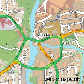
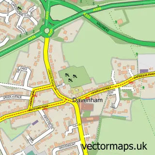
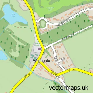
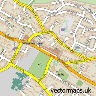
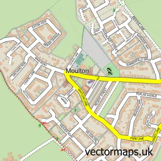
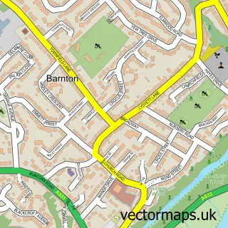
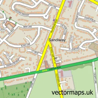
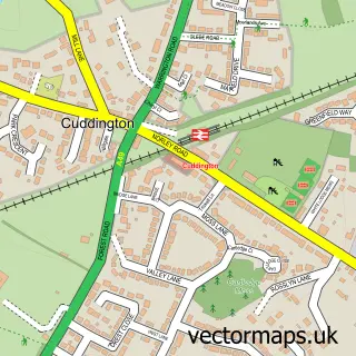
Nearby street map samples around Hartford

More street maps in Cheshire
750 metre map area coverage
Boundary, postcode and point of interest information for the 750m x 750m rectangle centred on this sample map.
Boundaries containing map centre
Constituency: Mid Cheshire Co Const
District: Cheshire West and Chester (B)
Icb: NHS Cheshire and Merseyside ICB
Parish: Hartford CP
Police Force: cheshire
Postcode District: CW8
Postcode Sector: CW8 1
Ward: Hartford & Greenbank Ward
Nearby boundaries intersecting sample
Postcode Sector: CW8 2
Postcode coverage
POI category counts
Pub: 3
Anglican Church: 2
Barber: 2
Beauty And Spa: 2
Building Supply Store: 2
Financial Advising: 2
Home Developer: 2
Real Estate Agent: 2
Restaurant: 2
School: 2
Sample points of interest
- Hartford Village
- Ruth Elliott and Co Chartered Accountants
- Mad Hatter’s Adventure Golf
- St John's
- St John's Church, Hartford
- The Seasons Art Class
- Imaginators
- The Cooperative Food (BF) Hartford - Chester Road (ERF), Hartford
- Hartford Cycle Hub
- Cheeky Little Soles
- La Bella Chime
- Barber Bullet
Create a larger editable map of Hartford
This sample shows only a 750 metre area. To create a larger map of Hartford, use our map builder to choose your own coverage area, add titles and download editable SVG, PDF and PNG files.
Create a custom map of Hartford