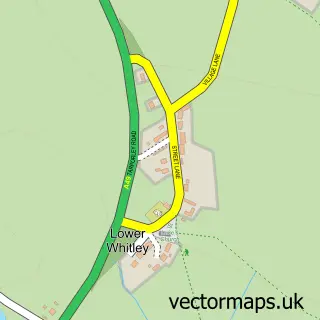
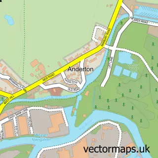
This Antrobus street map is a detailed vector street map covering a 750m x 750m area. Select a larger area to create and download your own vector street map of Antrobus.
The 750-metre map sample for Antrobus covers 86 mapped buildings and approximately 8.5 km of road detail, of which 7 named roads are named. The immediate area includes 1 school. The wider area around Antrobus features 1 food and drink venue and 1 campsite within 2 miles. To create a larger or custom map of Antrobus, the map builder lets you define your own coverage area and download editable SVG, PDF and PNG files.
Create a larger editable map of Antrobus
Choose any area you need and generate a high-quality vector map instantly. Perfect for print, planning, design, business and personal use.

This Antrobus street map in Cheshire is available as downloadable SVG, PDF and PNG map files, or as a printed map for planning, business, display, education, local information and design work. You can also create a larger custom map area using the map selector.
What this Antrobus map sample shows
Antrobus lies within Antrobus Cp parish, part of Marbury ward in the Cheshire West And Chester (B) local authority area. The postcode geography for this area includes the CW postcode area, the CW9 postcode district and the CW9 6 postcode sector. Residents fall under the Nhs Cheshire And Merseyside Integrated Care Board for NHS services.
Local features near Antrobus
Within 2 milesAmenities and services in and around Antrobus.
Administrative and postcode information for Antrobus
The local authority covering Antrobus is Cheshire West And Chester (B), within the county of Cheshire. The settlement lies within Marbury ward and Antrobus Cp civil parish. The CW9 postcode district and CW9 6 postcode sector serve the immediate area. NHS provision in the area is delivered through Mid Cheshire Hospitals Nhs Foundation Trust.
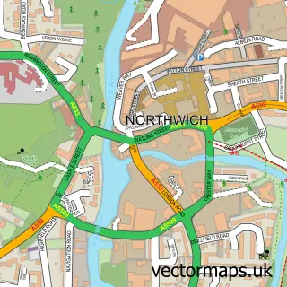
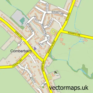
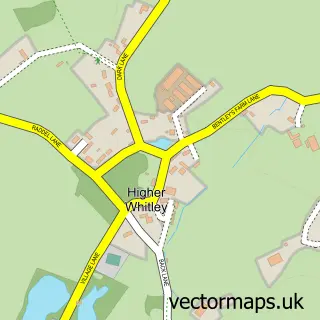
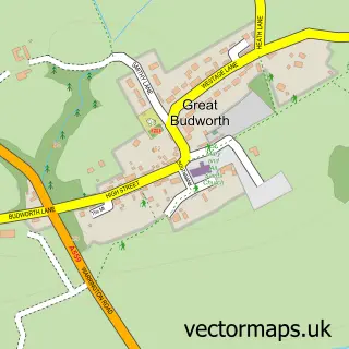
Nearby street map samples around Antrobus

More street maps in Cheshire
750 metre map area coverage
Boundary, postcode and point of interest information for the 750m x 750m rectangle centred on this sample map.
Boundaries containing map centre
Constituency: Tatton Co Const
District: Cheshire West and Chester (B)
Icb: NHS Cheshire and Merseyside ICB
Parish: Antrobus CP
Police Force: cheshire
Postcode District: CW9
Postcode Sector: CW9 6
Ward: Marbury Ward
Nearby boundaries intersecting sample
No additional intersecting boundaries found.
Postcode coverage
POI category counts
Elementary School: 2
Anglican Church: 1
Animal Shelter: 1
Bed And Breakfast: 1
Cafe: 1
Community Center: 1
Dance School: 1
Day Care Preschool: 1
Farm: 1
Flowers And Gifts Shop: 1
Sample points of interest
- St Marks
- Oakdale Cattery
- Foxley Brow House
- Antrobus Community Shop and Tea Room
- Antrobus Village Hall
- Sutton School of Dance
- Antrobus Pre-School Nursery
- Antrobus St Mark's C of E Primary School
- Antrobus St Marks Primary School
- Cheshire Alpacas
- Ewer-roberts Flowers
- SocialTap
Create a larger editable map of Antrobus
This sample shows only a 750 metre area. To create a larger map of Antrobus, use our map builder to choose your own coverage area, add titles and download editable SVG, PDF and PNG files.
Create a custom map of Antrobus