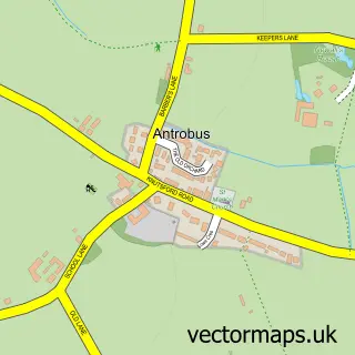
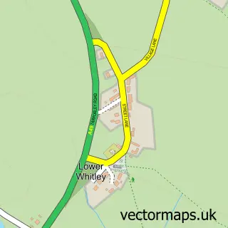
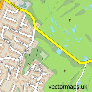
This Appleton Thorn street map is a detailed vector street map covering a 750m x 750m area. Select a larger area to create and download your own vector street map of Appleton Thorn.
The 750-metre map sample for Appleton Thorn covers 311 mapped buildings and approximately 13.6 km of road detail, of which 19 named roads are named. The immediate area includes 1 school, 1 GP surgery within 2 miles, 1 pub and 1 MOT station within 2 miles. The wider area around Appleton Thorn features 1 food and drink venue. To create a larger or custom map of Appleton Thorn, the map builder lets you define your own coverage area and download editable SVG, PDF and PNG files.
Create a larger editable map of Appleton Thorn
Choose any area you need and generate a high-quality vector map instantly. Perfect for print, planning, design, business and personal use.

This Appleton Thorn street map in Cheshire is available as downloadable SVG, PDF and PNG map files, or as a printed map for planning, business, display, education, local information and design work. You can also create a larger custom map area using the map selector.
What this Appleton Thorn map sample shows
Appleton Thorn lies within Appleton Cp parish, part of Grappenhall ward in the Warrington (B) local authority area. The postcode geography for this area includes the WA postcode area, the WA4 postcode district and the WA4 4 postcode sector. Residents fall under the Nhs Cheshire And Merseyside Integrated Care Board for NHS services.
Local features near Appleton Thorn
Within 2 milesAmenities and services in and around Appleton Thorn.
Administrative and postcode information for Appleton Thorn
Appleton Thorn lies within Appleton Cp parish, part of Grappenhall ward in the Warrington (B) local authority area. The postcode geography for this area includes the WA postcode area, the WA4 postcode district and the WA4 4 postcode sector. Residents fall under the Nhs Cheshire And Merseyside Integrated Care Board for NHS services.
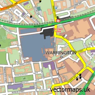
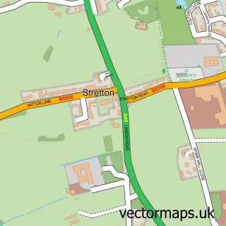
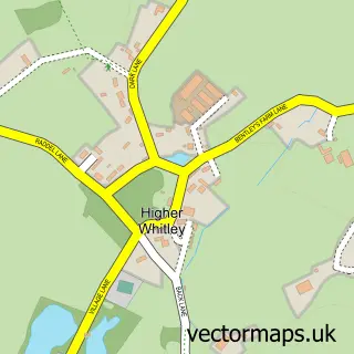
Nearby street map samples around Appleton Thorn

More street maps in Cheshire
750 metre map area coverage
Boundary, postcode and point of interest information for the 750m x 750m rectangle centred on this sample map.
Boundaries containing map centre
Constituency: Warrington South Co Const
District: Warrington (B)
Icb: NHS Cheshire and Merseyside ICB
Parish: Appleton CP
Police Force: cheshire
Postcode District: WA4
Postcode Sector: WA4 4
Ward: Grappenhall Ward
Nearby boundaries intersecting sample
Parish: Grappenhall and Thelwall CP
Postcode Sector: WA4 3, WA4 5
Postcode coverage
POI category counts
Driving School: 2
Advertising Agency: 1
Armed Forces Branch: 1
Automotive: 1
Church Cathedral: 1
Community Center: 1
Day Care Preschool: 1
Electrician: 1
Elementary School: 1
Eyewear And Optician: 1
Sample points of interest
- The Independent Link
- RNAS Stretton
- ChipsAway Warrington
- St Cross Church, Appleton Thorn
- Appleton Thorn Village Hall
- Kids Planet Appleton Thorn
- Warrington Driving School
- Warrington Driving School
- CJR Electrical Services
- Appleton Thorn Primary School
- safetyspecs.co.uk
- Puleston Wealth Management Ltd
Create a larger editable map of Appleton Thorn
This sample shows only a 750 metre area. To create a larger map of Appleton Thorn, use our map builder to choose your own coverage area, add titles and download editable SVG, PDF and PNG files.
Create a custom map of Appleton Thorn