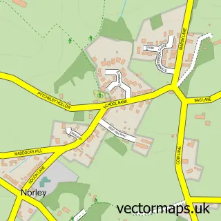
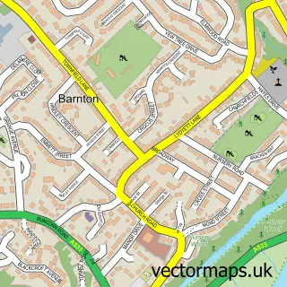
This Acton Bridge street map is a detailed vector street map covering a 750m x 750m area. Select a larger area to create and download your own vector street map of Acton Bridge.
The 750-metre map sample for Acton Bridge covers 112 mapped buildings and approximately 3.9 km of road detail, of which 6 named roads are named. The immediate area includes 1 GP surgery within 2 miles. To create a larger or custom map of Acton Bridge, the map builder lets you define your own coverage area and download editable SVG, PDF and PNG files.
Create a larger editable map of Acton Bridge
Choose any area you need and generate a high-quality vector map instantly. Perfect for print, planning, design, business and personal use.

This Acton Bridge street map in Cheshire is available as downloadable SVG, PDF and PNG map files, or as a printed map for planning, business, display, education, local information and design work. You can also create a larger custom map area using the map selector.
What this Acton Bridge map sample shows
Acton Bridge lies within Acton Bridge Cp parish, part of Weaver & Cuddington ward in the Cheshire West And Chester (B) local authority area. The postcode geography for this area includes the CW postcode area, the CW8 postcode district and the CW8 3 postcode sector. Residents fall under the Nhs Cheshire And Merseyside Integrated Care Board for NHS services.
Local features near Acton Bridge
Within 2 milesAmenities and services in and around Acton Bridge.
Administrative and postcode information for Acton Bridge
The local authority covering Acton Bridge is Cheshire West And Chester (B), within the county of Cheshire. The settlement lies within Weaver & Cuddington ward and Acton Bridge Cp civil parish. The CW8 postcode district and CW8 3 postcode sector serve the immediate area. NHS provision in the area is delivered through Mid Cheshire Hospitals Nhs Foundation Trust.
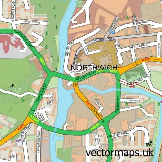
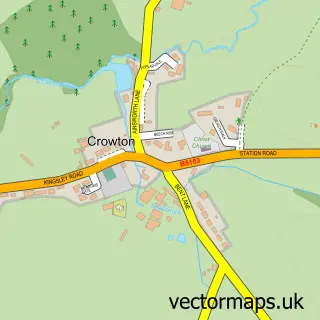
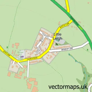
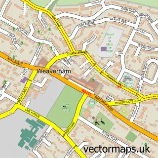
Nearby street map samples around Acton Bridge

More street maps in Cheshire
750 metre map area coverage
Boundary, postcode and point of interest information for the 750m x 750m rectangle centred on this sample map.
Boundaries containing map centre
Constituency: Chester South and Eddisbury Co Const
District: Cheshire West and Chester (B)
Icb: NHS Cheshire and Merseyside ICB
Parish: Acton Bridge CP
Police Force: cheshire
Postcode District: CW8
Postcode Sector: CW8 3
Ward: Weaver & Cuddington Ward
Nearby boundaries intersecting sample
Constituency: Tatton Co Const
Ward: Marbury Ward
Postcode coverage
POI category counts
Alternative Medicine: 1
Assisted Living Facility: 1
Bed And Breakfast: 1
Linen: 1
Personal Care Service: 1
Public And Government Association: 1
Sample points of interest
- Sylver Dragon
- Millisle Nursery Unit
- Ash House Farm
- Delamere Blinds and Curtains
- Tailored to you
- Acton Bridge Parish Council
Create a larger editable map of Acton Bridge
This sample shows only a 750 metre area. To create a larger map of Acton Bridge, use our map builder to choose your own coverage area, add titles and download editable SVG, PDF and PNG files.
Create a custom map of Acton Bridge