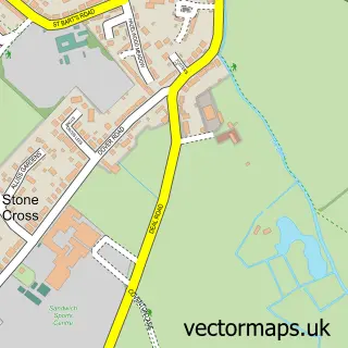
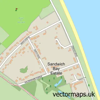
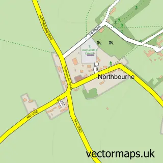
This Sandwich street map is a detailed vector street map covering a 750m x 750m area. Select a larger area to create and download your own vector street map of Sandwich.
The 750-metre map sample for Sandwich covers 326 mapped buildings and approximately 17.5 km of road detail, of which 50 named roads are named. The immediate area includes 1 school, 1 GP surgery, 10 pubs and 1 MOT station, with 7 within 2 miles. The wider area around Sandwich features 7 tourism points of interest, 27 food and drink venues and 5 hotels. To create a larger or custom map of Sandwich, the map builder lets you define your own coverage area and download editable SVG, PDF and PNG files.
Create a larger editable map of Sandwich
Choose any area you need and generate a high-quality vector map instantly. Perfect for print, planning, design, business and personal use.

This Sandwich street map in Kent is available as downloadable SVG, PDF and PNG map files, or as a printed map for planning, business, display, education, local information and design work. You can also create a larger custom map area using the map selector.
What this Sandwich map sample shows
Sandwich lies within Sandwich Cp parish, part of Sandwich ward in the Dover District local authority area. The postcode geography for this area includes the CT postcode area, the CT13 postcode district and the CT13 9 postcode sector. Residents fall under the Nhs Kent And Medway Integrated Care Board for NHS services.
Local features near Sandwich
Within 2 milesAmenities and services in and around Sandwich.
Administrative and postcode information for Sandwich
Sandwich lies within Sandwich Cp parish, part of Sandwich ward in the Dover District local authority area. The postcode geography for this area includes the CT postcode area, the CT13 postcode district and the CT13 9 postcode sector. Residents fall under the Nhs Kent And Medway Integrated Care Board for NHS services.
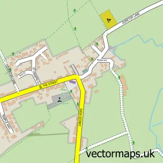
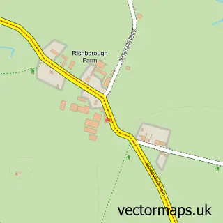
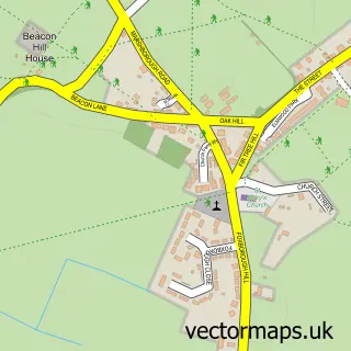
Nearby street map samples around Sandwich

More street maps in Kent
750 metre map area coverage
Boundary, postcode and point of interest information for the 750m x 750m rectangle centred on this sample map.
Boundaries containing map centre
Constituency: Herne Bay and Sandwich Co Const
County: Kent County
District: Dover District
Icb: NHS Kent and Medway ICB
Parish: Sandwich CP
Police Force: kent
Postcode District: CT13
Postcode Sector: CT13 9
Ward: Sandwich Ward
Nearby boundaries intersecting sample
Postcode Sector: CT13 0
Postcode coverage
POI category counts
Pub: 10
Cafe: 9
Flowers And Gifts Shop: 7
Real Estate Agent: 7
Antique Store: 5
Hotel: 5
Restaurant: 5
Church Cathedral: 4
Sports Club And League: 4
Arts And Crafts: 3
Sample points of interest
- ABA Creative
- GB Promotional Products
- Chestnut Cottage Antiques
- Fleur De France
- Pilgrims Hospice Shops
- Sue Ryder Care
- Vintage Curiosities
- The Hunt Gallery
- The Hunt Gallery
- Cat's Eye Carving
- Rose 'N' Tony's
- Totally Crafty
Create a larger editable map of Sandwich
This sample shows only a 750 metre area. To create a larger map of Sandwich, use our map builder to choose your own coverage area, add titles and download editable SVG, PDF and PNG files.
Create a custom map of Sandwich