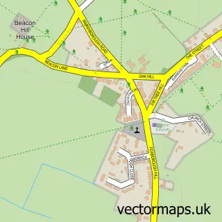
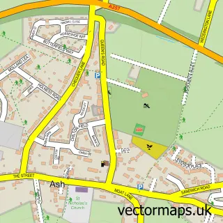
This Worth street map is a detailed vector street map covering a 750m x 750m area. Select a larger area to create and download your own vector street map of Worth.
The 750-metre map sample for Worth covers 154 mapped buildings and approximately 6.6 km of road detail, of which 8 named roads are named. The immediate area includes 1 school, 1 GP surgery within 2 miles, 1 pub and 7 MOT stations within 2 miles. The wider area around Worth features 1 tourism point of interest, 1 food and drink venue and 1 hotel. To create a larger or custom map of Worth, the map builder lets you define your own coverage area and download editable SVG, PDF and PNG files.
Create a larger editable map of Worth
Choose any area you need and generate a high-quality vector map instantly. Perfect for print, planning, design, business and personal use.

This Worth street map in Kent is available as downloadable SVG, PDF and PNG map files, or as a printed map for planning, business, display, education, local information and design work. You can also create a larger custom map area using the map selector.
What this Worth map sample shows
Worth lies within Worth Cp parish, part of Eastry Rural ward in the Dover District local authority area. The postcode geography for this area includes the CT postcode area, the CT14 postcode district and the CT14 0 postcode sector. Residents fall under the Nhs Kent And Medway Integrated Care Board for NHS services.
Local features near Worth
Within 2 milesAmenities and services in and around Worth.
Administrative and postcode information for Worth
Worth lies within Worth Cp parish, part of Eastry Rural ward in the Dover District local authority area. The postcode geography for this area includes the CT postcode area, the CT14 postcode district and the CT14 0 postcode sector. Residents fall under the Nhs Kent And Medway Integrated Care Board for NHS services.
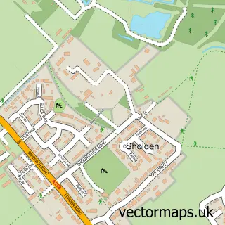
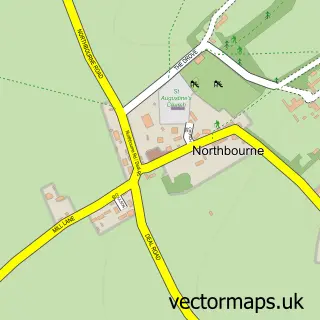
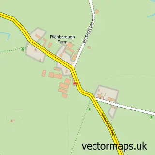
Nearby street map samples around Worth

More street maps in Kent
750 metre map area coverage
Boundary, postcode and point of interest information for the 750m x 750m rectangle centred on this sample map.
Boundaries containing map centre
Constituency: Dover and Deal Co Const
County: Kent County
District: Dover District
Icb: NHS Kent and Medway ICB
Parish: Worth CP
Police Force: kent
Postcode District: CT14
Postcode Sector: CT14 0
Ward: Eastry Rural Ward
Nearby boundaries intersecting sample
No additional intersecting boundaries found.
Postcode coverage
POI category counts
Elementary School: 2
Anglican Church: 1
Bed And Breakfast: 1
Driving School: 1
Hotel: 1
Hvac Supplier: 1
Landmark And Historical Building: 1
Music School: 1
Pet Services: 1
Pub: 1
Sample points of interest
- St Peter & St Paul
- Chilton Villa B&B
- Phil Plant
- Busy Bees Pre-School
- Worth Primary School
- The Blue Pigeons
- Its Worth Heating
- Woodchurch
- Garry Draper
- TLC Canine Care
- St Crispin Inn
Create a larger editable map of Worth
This sample shows only a 750 metre area. To create a larger map of Worth, use our map builder to choose your own coverage area, add titles and download editable SVG, PDF and PNG files.
Create a custom map of Worth