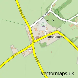
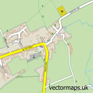
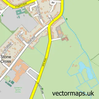
This Sholden street map is a detailed vector street map covering a 750m x 750m area. Select a larger area to create and download your own vector street map of Sholden.
The 750-metre map sample for Sholden covers 307 mapped buildings and approximately 9.1 km of road detail, of which 18 named roads are named. The immediate area includes 4 GP surgeries within 2 miles, 1 pub and 12 MOT stations within 2 miles. The wider area around Sholden features 1 food and drink venue and 1 campsite within 2 miles. To create a larger or custom map of Sholden, the map builder lets you define your own coverage area and download editable SVG, PDF and PNG files.
Create a larger editable map of Sholden
Choose any area you need and generate a high-quality vector map instantly. Perfect for print, planning, design, business and personal use.

This Sholden street map in Kent is available as downloadable SVG, PDF and PNG map files, or as a printed map for planning, business, display, education, local information and design work. You can also create a larger custom map area using the map selector.
What this Sholden map sample shows
Sholden lies within Sholden Cp parish, part of Eastry Rural ward in the Dover District local authority area. The postcode geography for this area includes the CT postcode area, the CT14 postcode district and the CT14 0 postcode sector. Residents fall under the Nhs Kent And Medway Integrated Care Board for NHS services.
Local features near Sholden
Within 2 milesAmenities and services in and around Sholden.
Administrative and postcode information for Sholden
The local authority covering Sholden is Dover District, within the county of Kent. The settlement lies within Eastry Rural ward and Sholden Cp civil parish. The CT14 postcode district and CT14 0 postcode sector serve the immediate area. NHS provision in the area is delivered through East Kent Hospitals University Nhs Foundation Trust.
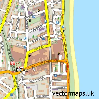
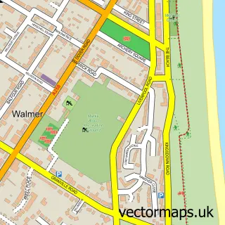
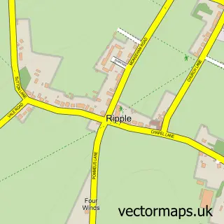
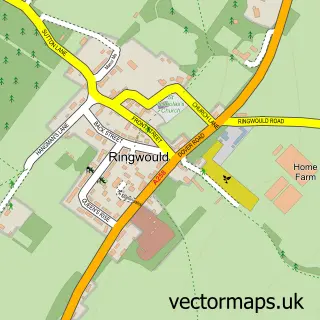
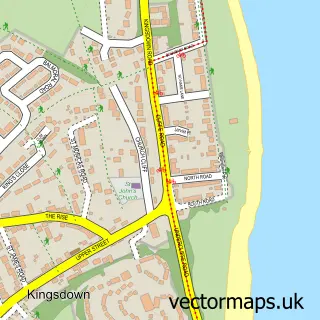
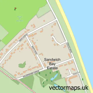
Nearby street map samples around Sholden

More street maps in Kent
750 metre map area coverage
Boundary, postcode and point of interest information for the 750m x 750m rectangle centred on this sample map.
Boundaries containing map centre
Constituency: Dover and Deal Co Const
County: Kent County
District: Dover District
Icb: NHS Kent and Medway ICB
Parish: Sholden CP
Police Force: kent
Postcode District: CT14
Postcode Sector: CT14 0
Ward: Eastry Rural Ward
Nearby boundaries intersecting sample
Parish: Deal CP
Postcode Sector: CT14 9
Ward: Middle Deal Ward, Mill Hill Ward
Postcode coverage
POI category counts
Sports Club And League: 3
Psychologist: 2
Beauty And Spa: 1
Breakfast And Brunch Restaurant: 1
Convenience Store: 1
Event Planning: 1
Flowers And Gifts Shop: 1
Gym: 1
Holiday Rental Home: 1
Home Cleaning: 1
Sample points of interest
- The Cut Hut
- The Lake House Kitchen
- Premier - Sholden Village Store
- Soft Play at Betteshanger
- Sholden Village Store
- Walmer Cricket Club-Sholden
- Holidays Rental UK
- Top Down Cleaning
- Cottington Lakes
- Top Down Cleaning Services
- Sika Tree Surgery
- Nicky's Therapies
Create a larger editable map of Sholden
This sample shows only a 750 metre area. To create a larger map of Sholden, use our map builder to choose your own coverage area, add titles and download editable SVG, PDF and PNG files.
Create a custom map of Sholden