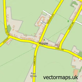
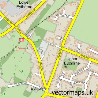
This Ringwould street map is a detailed vector street map covering a 750m x 750m area. Select a larger area to create and download your own vector street map of Ringwould.
The 750-metre map sample for Ringwould covers 148 mapped buildings and approximately 11.5 km of road detail, of which 9 named roads are named. The immediate area includes 1 school, 1 GP surgery within 2 miles, 3 pubs and 1 MOT station within 2 miles. The wider area around Ringwould features 3 food and drink venues and 3 campsites within 2 miles. To create a larger or custom map of Ringwould, the map builder lets you define your own coverage area and download editable SVG, PDF and PNG files.
Create a larger editable map of Ringwould
Choose any area you need and generate a high-quality vector map instantly. Perfect for print, planning, design, business and personal use.

This Ringwould street map in Kent is available as downloadable SVG, PDF and PNG map files, or as a printed map for planning, business, display, education, local information and design work. You can also create a larger custom map area using the map selector.
What this Ringwould map sample shows
Ringwould lies within Ringwould With Kingsdown Cp parish, part of Guston, Kingsdown & St Margaret's-At-Cliffe ward in the Dover District local authority area. The postcode geography for this area includes the CT postcode area, the CT14 postcode district and the CT14 8 postcode sector. Residents fall under the Nhs Kent And Medway Integrated Care Board for NHS services.
Local features near Ringwould
Within 2 milesAmenities and services in and around Ringwould.
Administrative and postcode information for Ringwould
Ringwould lies within Ringwould With Kingsdown Cp parish, part of Guston, Kingsdown & St Margaret's-At-Cliffe ward in the Dover District local authority area. The postcode geography for this area includes the CT postcode area, the CT14 postcode district and the CT14 8 postcode sector. Residents fall under the Nhs Kent And Medway Integrated Care Board for NHS services.
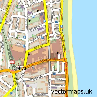
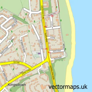
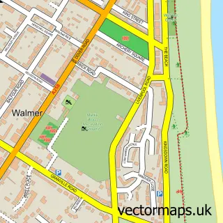
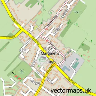
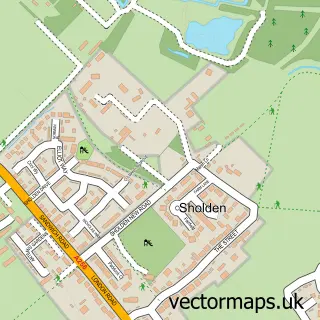
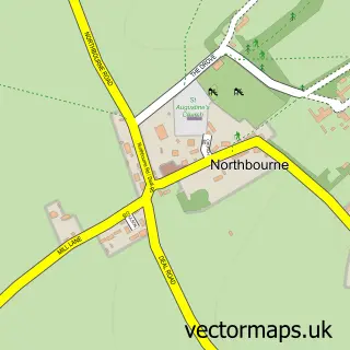
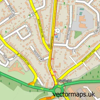
Nearby street map samples around Ringwould

More street maps in Kent
750 metre map area coverage
Boundary, postcode and point of interest information for the 750m x 750m rectangle centred on this sample map.
Boundaries containing map centre
Constituency: Dover and Deal Co Const
County: Kent County
District: Dover District
Icb: NHS Kent and Medway ICB
Parish: Ringwould with Kingsdown CP
Police Force: kent
Postcode District: CT14
Postcode Sector: CT14 8
Ward: Guston, Kingsdown & St. Margaret's-at-Cliffe Ward
Nearby boundaries intersecting sample
No additional intersecting boundaries found.
Postcode coverage
POI category counts
Pub: 3
Active Life: 1
Caterer: 1
Church Cathedral: 1
Community Center: 1
Education: 1
Flowers And Gifts Shop: 1
Pet Store: 1
Podiatrist: 1
Professional Services: 1
Sample points of interest
- Rippledown
- Busy Bs Deal Snack Wagon
- St Nicholas Church
- Ringwould Village Hall
- Rippledown
- Flowers Nr Deal
- The Animal Inn
- Ian Milstead Foot Healthcare
- Channel Virtual Assistance
- T G Claymore
- Five Bells
- The Five Bells
Create a larger editable map of Ringwould
This sample shows only a 750 metre area. To create a larger map of Ringwould, use our map builder to choose your own coverage area, add titles and download editable SVG, PDF and PNG files.
Create a custom map of Ringwould