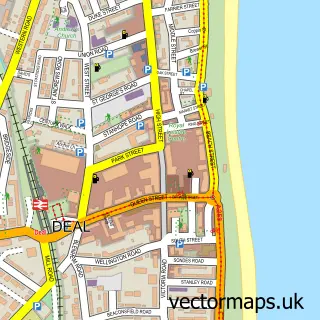
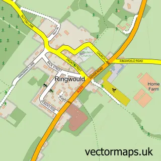
This Walmer street map is a detailed vector street map covering a 750m x 750m area. Select a larger area to create and download your own vector street map of Walmer.
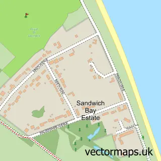
The 750-metre map sample for Walmer covers 361 mapped buildings and approximately 14.7 km of road detail, of which 27 named roads are named. The immediate area includes 4 GP surgeries within 2 miles and 11 MOT stations within 2 miles. The wider area around Walmer features 2 tourism points of interest, 3 food and drink venues and 2 hotels. To create a larger or custom map of Walmer, the map builder lets you define your own coverage area and download editable SVG, PDF and PNG files.
Create a larger editable map of Walmer
Choose any area you need and generate a high-quality vector map instantly. Perfect for print, planning, design, business and personal use.

This Walmer street map in Kent is available as downloadable SVG, PDF and PNG map files, or as a printed map for planning, business, display, education, local information and design work. You can also create a larger custom map area using the map selector.
What this Walmer map sample shows
Walmer lies within Walmer Cp parish, part of Walmer ward in the Dover District local authority area. The postcode geography for this area includes the CT postcode area, the CT14 postcode district and the CT14 7 postcode sector. Residents fall under the Nhs Kent And Medway Integrated Care Board for NHS services.
Local features near Walmer
Within 2 milesAmenities and services in and around Walmer.
Administrative and postcode information for Walmer
Walmer lies within Walmer Cp parish, part of Walmer ward in the Dover District local authority area. The postcode geography for this area includes the CT postcode area, the CT14 postcode district and the CT14 7 postcode sector. Residents fall under the Nhs Kent And Medway Integrated Care Board for NHS services.
Nearby street map samples around Walmer

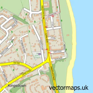
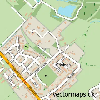
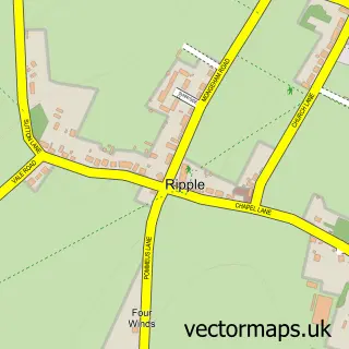
More street maps in Kent
750 metre map area coverage
Boundary, postcode and point of interest information for the 750m x 750m rectangle centred on this sample map.
Boundaries containing map centre
Constituency: Dover and Deal Co Const
County: Kent County
District: Dover District
Icb: NHS Kent and Medway ICB
Parish: Walmer CP
Police Force: kent
Postcode District: CT14
Postcode Sector: CT14 7
Ward: Walmer Ward
Nearby boundaries intersecting sample
No additional intersecting boundaries found.
Postcode coverage
POI category counts
Gas Station: 4
Retirement Home: 4
Hotel: 2
Package Locker: 2
Photography Store And Services: 2
Scout Hall: 2
Active Life: 1
Amateur Sports Team: 1
Atms: 1
Attractions And Activities: 1
Sample points of interest
- Walmer and Deal Seafront parkrun
- Cinque Ports Football Club
- MFG - Walmer (MRH)
- Marke Wood Park
- Greggs
- Walmer Baptist Church
- Time & Tide Brewing Limited
- Secure Flame Gas Heating & Plumbing
- The Corner Cafe,
- Deborah Cain
- Costa Express
- TJK Builders
Create a larger editable map of Walmer
This sample shows only a 750 metre area. To create a larger map of Walmer, use our map builder to choose your own coverage area, add titles and download editable SVG, PDF and PNG files.
Create a custom map of Walmer