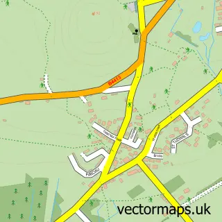
This Sarn Mellteyrn street map is a detailed vector street map covering a 750m x 750m area. Select a larger area to create and download your own vector street map of Sarn Mellteyrn.
The 750-metre map sample for Sarn Mellteyrn covers 90 mapped buildings and approximately 13.4 km of road detail. The immediate area includes 2 pubs and 1 MOT station within 2 miles. The wider area around Sarn Mellteyrn features 2 food and drink venues and 2 campsites within 2 miles. To create a larger or custom map of Sarn Mellteyrn, the map builder lets you define your own coverage area and download editable SVG, PDF and PNG files.
Create a larger editable map of Sarn Mellteyrn
Choose any area you need and generate a high-quality vector map instantly. Perfect for print, planning, design, business and personal use.

This Sarn Mellteyrn street map in Gwynedd is available as downloadable SVG, PDF and PNG map files, or as a printed map for planning, business, display, education, local information and design work. You can also create a larger custom map area using the map selector.
What this Sarn Mellteyrn map sample shows
Sarn Mellteyrn lies within Botwnnog Community parish, part of Botwnnog ward in the Gwynedd - Gwynedd local authority area. The postcode geography for this area includes the LL postcode area, the LL53 postcode district and the LL53 8 postcode sector. Residents fall under the Betsi Cadwaladr University Health Board for NHS services.
Local features near Sarn Mellteyrn
Within 2 milesAmenities and services in and around Sarn Mellteyrn.
Administrative and postcode information for Sarn Mellteyrn
Sarn Mellteyrn lies within Botwnnog Community parish, part of Botwnnog ward in the Gwynedd - Gwynedd local authority area. The postcode geography for this area includes the LL postcode area, the LL53 postcode district and the LL53 8 postcode sector. Residents fall under the Betsi Cadwaladr University Health Board for NHS services.
Nearby street map samples around Sarn Mellteyrn
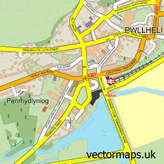


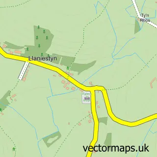
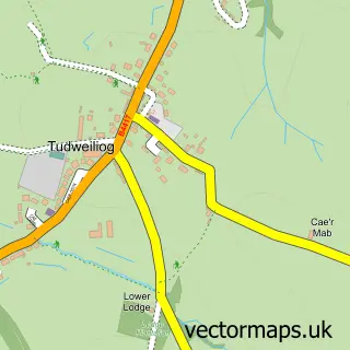
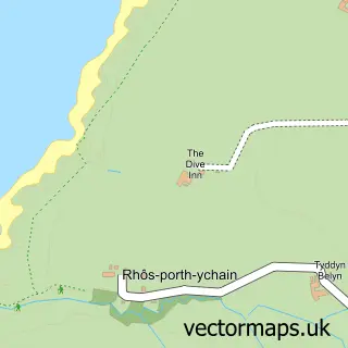

More street maps in Gwynedd
750 metre map area coverage
Boundary, postcode and point of interest information for the 750m x 750m rectangle centred on this sample map.
Boundaries containing map centre
Constituency: Dwyfor Meirionnydd Co Const
District: Gwynedd - Gwynedd
Icb: Betsi Cadwaladr University
Parish: Botwnnog Community
Police Force: north wales
Postcode District: LL53
Postcode Sector: LL53 8
Nearby boundaries intersecting sample
No additional intersecting boundaries found.
Postcode coverage
POI category counts
Post Office: 3
Convenience Store: 2
Pub: 2
Agricultural Service: 1
Auto Manufacturers And Distributors: 1
Ev Charging Station: 1
Gas Station: 1
Holiday Rental Home: 1
Transportation: 1
Sample points of interest
- S & B Roberts Ltd
- Polaris Pwllheli
- Premier
- Premier Siop Garej Ni Shop
- Neuadd Sarn
- Garej Ni
- Mill House & Mill House Cottage
- Post Office-Sarn
- Sarn Post Office
- Sarn Post Office
- Tafarn Pen-y-bont
- Ty Newydd Sarn
Create a larger editable map of Sarn Mellteyrn
This sample shows only a 750 metre area. To create a larger map of Sarn Mellteyrn, use our map builder to choose your own coverage area, add titles and download editable SVG, PDF and PNG files.
Create a custom map of Sarn Mellteyrn