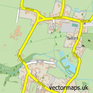
This Scamblesby street map is a detailed vector street map covering a 750m x 750m area. Select a larger area to create and download your own vector street map of Scamblesby.
The 750-metre map sample for Scamblesby covers 102 mapped buildings and approximately 7.4 km of road detail, of which 6 named roads are named. The immediate area includes 1 school, 1 pub and 1 MOT station. The wider area around Scamblesby features 1 food and drink venue and 1 campsite within 2 miles. To create a larger or custom map of Scamblesby, the map builder lets you define your own coverage area and download editable SVG, PDF and PNG files.
Create a larger editable map of Scamblesby
Choose any area you need and generate a high-quality vector map instantly. Perfect for print, planning, design, business and personal use.

This Scamblesby street map in Lincolnshire is available as downloadable SVG, PDF and PNG map files, or as a printed map for planning, business, display, education, local information and design work. You can also create a larger custom map area using the map selector.
What this Scamblesby map sample shows
Scamblesby lies within Scamblesby Cp parish, part of Tetford & Donington ward in the East Lindsey District local authority area. The postcode geography for this area includes the LN postcode area, the LN11 postcode district and the LN11 9 postcode sector. Residents fall under the Nhs Lincolnshire Integrated Care Board for NHS services.
Local features near Scamblesby
Within 2 milesAmenities and services in and around Scamblesby.
Administrative and postcode information for Scamblesby
Scamblesby lies within Scamblesby Cp parish, part of Tetford & Donington ward in the East Lindsey District local authority area. The postcode geography for this area includes the LN postcode area, the LN11 postcode district and the LN11 9 postcode sector. Residents fall under the Nhs Lincolnshire Integrated Care Board for NHS services.
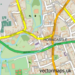
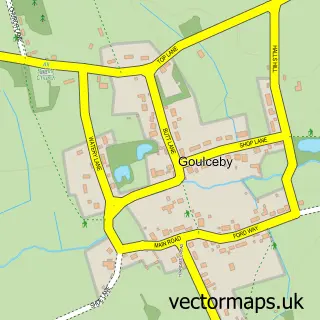
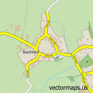
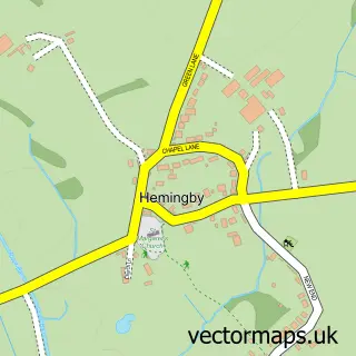
Nearby street map samples around Scamblesby

More street maps in Lincolnshire
750 metre map area coverage
Boundary, postcode and point of interest information for the 750m x 750m rectangle centred on this sample map.
Boundaries containing map centre
Constituency: Louth and Horncastle Co Const
County: Lincolnshire County
District: East Lindsey District
Icb: NHS Lincolnshire ICB
Parish: Scamblesby CP
Police Force: lincolnshire
Postcode District: LN11
Postcode Sector: LN11 9
Ward: Tetford & Donington Ward
Nearby boundaries intersecting sample
Parish: Asterby CP
Postcode coverage
POI category counts
Physical Therapy: 2
Animal Shelter: 1
Beauty Salon: 1
Church Cathedral: 1
Community Center: 1
Dog Walkers: 1
Elementary School: 1
Gas Station: 1
Gym: 1
Horse Riding: 1
Sample points of interest
- Wolds Retreat Cattery
- Hair at No 1
- St Martin's Church
- Scamblesby Village Hall
- Wag Those Tails
- Scamblesby C of E Primary School
- A153, Scamblesby, Lincolnshire Ln11 9, UK
- Susan Waller
- Brook House Farm
- Brook House Forge
- JT Music
- Wolds Pest Control
Create a larger editable map of Scamblesby
This sample shows only a 750 metre area. To create a larger map of Scamblesby, use our map builder to choose your own coverage area, add titles and download editable SVG, PDF and PNG files.
Create a custom map of Scamblesby