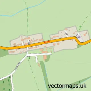
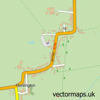
This Horncastle street map is a detailed vector street map covering a 750m x 750m area. Select a larger area to create and download your own vector street map of Horncastle.
The 750-metre map sample for Horncastle covers 436 mapped buildings and approximately 15.6 km of road detail, of which 47 named roads are named. The immediate area includes 1 school, 1 GP surgery within 2 miles, 13 pubs and 3 MOT stations within 2 miles. The wider area around Horncastle features 1 tourism point of interest, 23 food and drink venues and 2 hotels. To create a larger or custom map of Horncastle, the map builder lets you define your own coverage area and download editable SVG, PDF and PNG files.
Create a larger editable map of Horncastle
Choose any area you need and generate a high-quality vector map instantly. Perfect for print, planning, design, business and personal use.

This Horncastle street map in Lincolnshire is available as downloadable SVG, PDF and PNG map files, or as a printed map for planning, business, display, education, local information and design work. You can also create a larger custom map area using the map selector.
What this Horncastle map sample shows
Horncastle lies within Horncastle Cp parish, part of Horncastle ward in the East Lindsey District local authority area. The postcode geography for this area includes the LN postcode area, the LN9 postcode district and the LN9 5 postcode sector. Residents fall under the Nhs Lincolnshire Integrated Care Board for NHS services.
Local features near Horncastle
Within 2 milesAmenities and services in and around Horncastle.
Administrative and postcode information for Horncastle
The local authority covering Horncastle is East Lindsey District, within the county of Lincolnshire. The settlement lies within Horncastle ward and Horncastle Cp civil parish. The LN9 postcode district and LN9 5 postcode sector serve the immediate area. NHS provision in the area is delivered through United Lincolnshire Hospitals Nhs Trust.
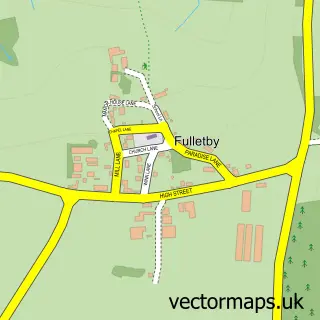
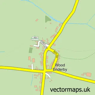
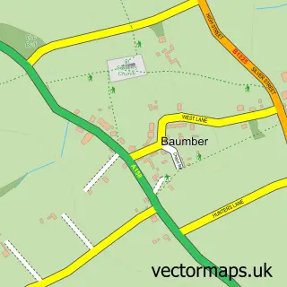
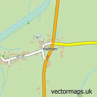
Nearby street map samples around Horncastle

More street maps in Lincolnshire
750 metre map area coverage
Boundary, postcode and point of interest information for the 750m x 750m rectangle centred on this sample map.
Boundaries containing map centre
Constituency: Louth and Horncastle Co Const
County: Lincolnshire County
District: East Lindsey District
Icb: NHS Lincolnshire ICB
Parish: Horncastle CP
Police Force: lincolnshire
Postcode District: LN9
Postcode Sector: LN9 5
Ward: Horncastle Ward
Nearby boundaries intersecting sample
Postcode Sector: LN9 6
Postcode coverage
POI category counts
Antique Store: 14
Pub: 13
Flowers And Gifts Shop: 10
Beauty Salon: 8
Community Services Non Profits: 7
Real Estate Agent: 7
Restaurant: 7
Bakery: 6
Clothing Store: 6
Professional Services: 6
Sample points of interest
- Horncastle Pool & Fitness Suite
- Amethyst Consultancy
- Horncastle Hypnotherapy
- Mark Cammiss
- Mark Cammiss Osteopath
- A Hare & Sons
- Ale House Antiques
- Baker G
- Barking Dog Antiques
- British Red Cross
- G Baker Antiques
- Great Expectations
Create a larger editable map of Horncastle
This sample shows only a 750 metre area. To create a larger map of Horncastle, use our map builder to choose your own coverage area, add titles and download editable SVG, PDF and PNG files.
Create a custom map of Horncastle