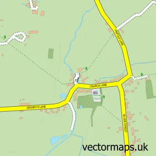
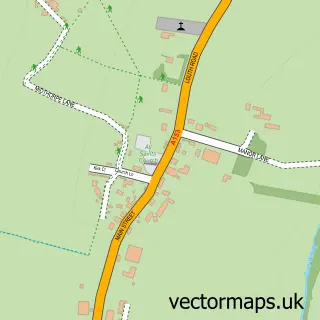
This Baumber street map is a detailed vector street map covering a 750m x 750m area. Select a larger area to create and download your own vector street map of Baumber.
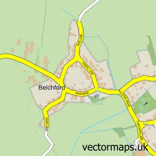
The 750-metre map sample for Baumber covers 73 mapped buildings and approximately 11.2 km of road detail, of which 5 named roads are named. To create a larger or custom map of Baumber, the map builder lets you define your own coverage area and download editable SVG, PDF and PNG files.
Create a larger editable map of Baumber
Choose any area you need and generate a high-quality vector map instantly. Perfect for print, planning, design, business and personal use.

This Baumber street map in Lincolnshire is available as downloadable SVG, PDF and PNG map files, or as a printed map for planning, business, display, education, local information and design work. You can also create a larger custom map area using the map selector.
What this Baumber map sample shows
Baumber lies within Baumber Cp parish, part of Roughton ward in the East Lindsey District local authority area. The postcode geography for this area includes the LN postcode area, the LN9 postcode district and the LN9 5 postcode sector. Residents fall under the Nhs Lincolnshire Integrated Care Board for NHS services.
Local features near Baumber
Within 2 milesAmenities and services in and around Baumber.
Administrative and postcode information for Baumber
Baumber lies within Baumber Cp parish, part of Roughton ward in the East Lindsey District local authority area. The postcode geography for this area includes the LN postcode area, the LN9 postcode district and the LN9 5 postcode sector. Residents fall under the Nhs Lincolnshire Integrated Care Board for NHS services.
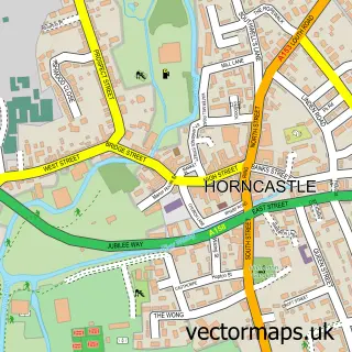
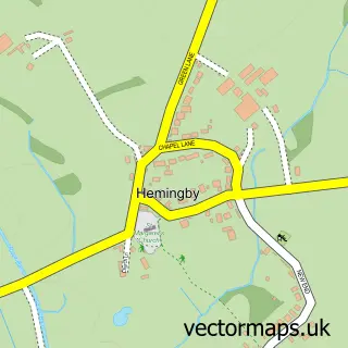
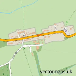
Nearby street map samples around Baumber

More street maps in Lincolnshire
750 metre map area coverage
Boundary, postcode and point of interest information for the 750m x 750m rectangle centred on this sample map.
Boundaries containing map centre
Constituency: Louth and Horncastle Co Const
County: Lincolnshire County
District: East Lindsey District
Icb: NHS Lincolnshire ICB
Parish: Baumber CP
Police Force: lincolnshire
Postcode District: LN9
Postcode Sector: LN9 5
Ward: Roughton Ward
Nearby boundaries intersecting sample
No additional intersecting boundaries found.
Postcode coverage
POI category counts
Elementary School: 2
Anglican Church: 1
Automotive Repair: 1
Bed And Breakfast: 1
Church Cathedral: 1
Industrial Equipment: 1
Professional Services: 1
Stadium Arena: 1
Tea Room: 1
Sample points of interest
- St Swithin Baumber
- Bullwinkle's Garage
- Baumber Park Farmhouse Bed & Breakfast
- St Swithins Church
- Baumber Primary School
- Baumber Primary School
- GCS Machinery Kent
- Greg Roberts Motorcycles
- Sheltonsdrainage
- Walled Garden Baumber
Create a larger editable map of Baumber
This sample shows only a 750 metre area. To create a larger map of Baumber, use our map builder to choose your own coverage area, add titles and download editable SVG, PDF and PNG files.
Create a custom map of Baumber