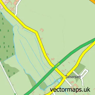
This Sculthorpe street map is a detailed vector street map covering a 750m x 750m area. Select a larger area to create and download your own vector street map of Sculthorpe.
The 750-metre map sample for Sculthorpe covers 97 mapped buildings and approximately 7.9 km of road detail, of which 3 named roads are named. The immediate area includes 1 pub and 2 MOT stations within 2 miles. The wider area around Sculthorpe features 1 food and drink venue, 1 hotel and 1 campsite within 2 miles. To create a larger or custom map of Sculthorpe, the map builder lets you define your own coverage area and download editable SVG, PDF and PNG files.
Create a larger editable map of Sculthorpe
Choose any area you need and generate a high-quality vector map instantly. Perfect for print, planning, design, business and personal use.

This Sculthorpe street map in Norfolk is available as downloadable SVG, PDF and PNG map files, or as a printed map for planning, business, display, education, local information and design work. You can also create a larger custom map area using the map selector.
What this Sculthorpe map sample shows
Sculthorpe lies within Sculthorpe Cp parish, part of Walsingham ward in the North Norfolk District local authority area. The postcode geography for this area includes the NR postcode area, the NR21 postcode district and the NR21 9 postcode sector. Residents fall under the Nhs Norfolk And Waveney Integrated Care Board for NHS services.
Local features near Sculthorpe
Within 2 milesAmenities and services in and around Sculthorpe.
Administrative and postcode information for Sculthorpe
The local authority covering Sculthorpe is North Norfolk District, within the county of Norfolk. The settlement lies within Walsingham ward and Sculthorpe Cp civil parish. The NR21 postcode district and NR21 9 postcode sector serve the immediate area. NHS provision in the area is delivered through The Queen Elizabeth Hospital, King's Lynn, Nhs Foundation Trust.
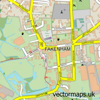
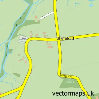
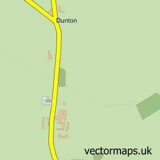
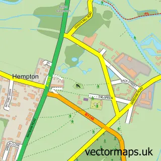
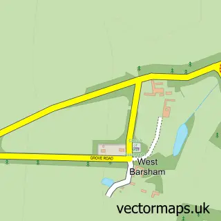
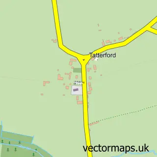
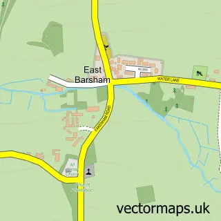
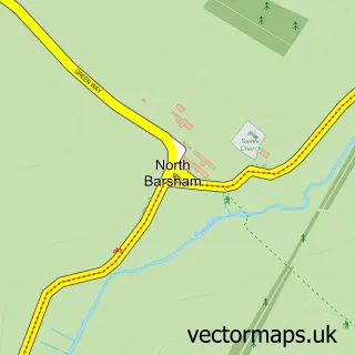
Nearby street map samples around Sculthorpe

More street maps in Norfolk
750 metre map area coverage
Boundary, postcode and point of interest information for the 750m x 750m rectangle centred on this sample map.
Boundaries containing map centre
Constituency: Broadland and Fakenham Co Const
County: Norfolk County
District: North Norfolk District
Icb: NHS Norfolk and Waveney ICB
Parish: Sculthorpe CP
Police Force: norfolk
Postcode District: NR21
Postcode Sector: NR21 9
Ward: Walsingham Ward
Nearby boundaries intersecting sample
No additional intersecting boundaries found.
Postcode coverage
POI category counts
Cottage: 2
Beer Bar: 1
Construction Services: 1
Contractor: 1
Driving School: 1
Electrician: 1
Holiday Rental Home: 1
Hotel: 1
Pub: 1
Swimming Pool: 1
Sample points of interest
- Aviator Bar and Restaurant
- Rutland Builders Limited
- Des McKay Painting Contractor
- Jack's Cottage
- The Hideaway Sculthorpe Norfolk
- Chris Wigley
- DJB Electrical Services
- The Grange Farmhouse
- Greyhound Cottage Fakenham
- Sculthorpe Mill
- The Anchorage Pool Sculthorpe
- Sculthorpe Village Hall
Create a larger editable map of Sculthorpe
This sample shows only a 750 metre area. To create a larger map of Sculthorpe, use our map builder to choose your own coverage area, add titles and download editable SVG, PDF and PNG files.
Create a custom map of Sculthorpe